


These trails rule! 16 spectacular hikes in Roadless areas across Washington
Since 2001, the Roadless Rule has protected trails across Washington (and the country) from logging and mining. (The rule protects a third of our national forests, 58 million acres, including 43,826 miles of trail nationwide.) You may never have heard of the Roadless Rule or why it's worth keeping in place, but one very good reason for leaving some of our national forests in a more natural state is that these areas offer tremendous hiking, backpacking and other trail experiences.
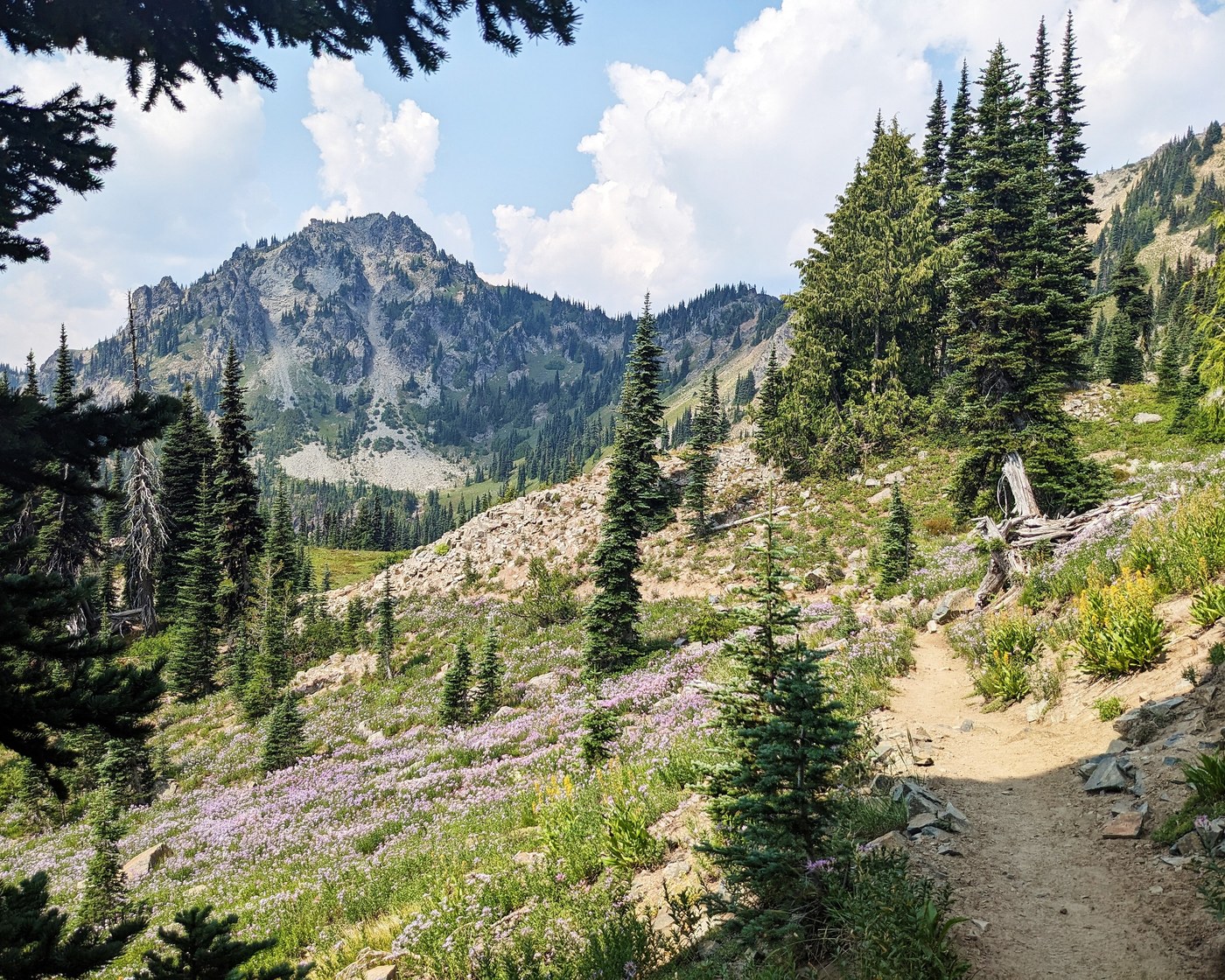 Several sections of the Pacific Crest Trail run through Roadless areas in Washington, including the popular section just north of Chinook Pass and Mount Rainier National Park. Here, in the Norse Roadless area, the PCT climbs up past Sheep Lake towards Sourdough Gap. Photo by Laura Norsen.
From Baker Lake to Rainy Pass, Silver Star to Lake Chelan, the trail experiences protected by the Roadless Rule include river bottom rambles, lovely alpine lakes and classic high country loops with views for days. The trails run through meadows full of wildflowers and huckleberries and, come autumn, feature stunning fall colors. By keeping forests intact, these areas also safeguard our clean water and wildlife. (One-third of water in the West flows through national forests. Nationally, 60 million Americans rely on national forests as their drinking water source.)
So take a hike in a Roadless Area, soak in the joys of a late summer day on trail, and consider how their loss would impact everyone who loves and depends on these places.
3 Tips for lake summer & Early Fall hiking
- Refresh your packing list for day hikes
- Gotta go? Use a toilet, bury or carry. Plus, why it's a good idea to pack out your toilet paper
- How to stay safe while hiking during hunting season
North Cascades

>> Roadless area: Sawtooth
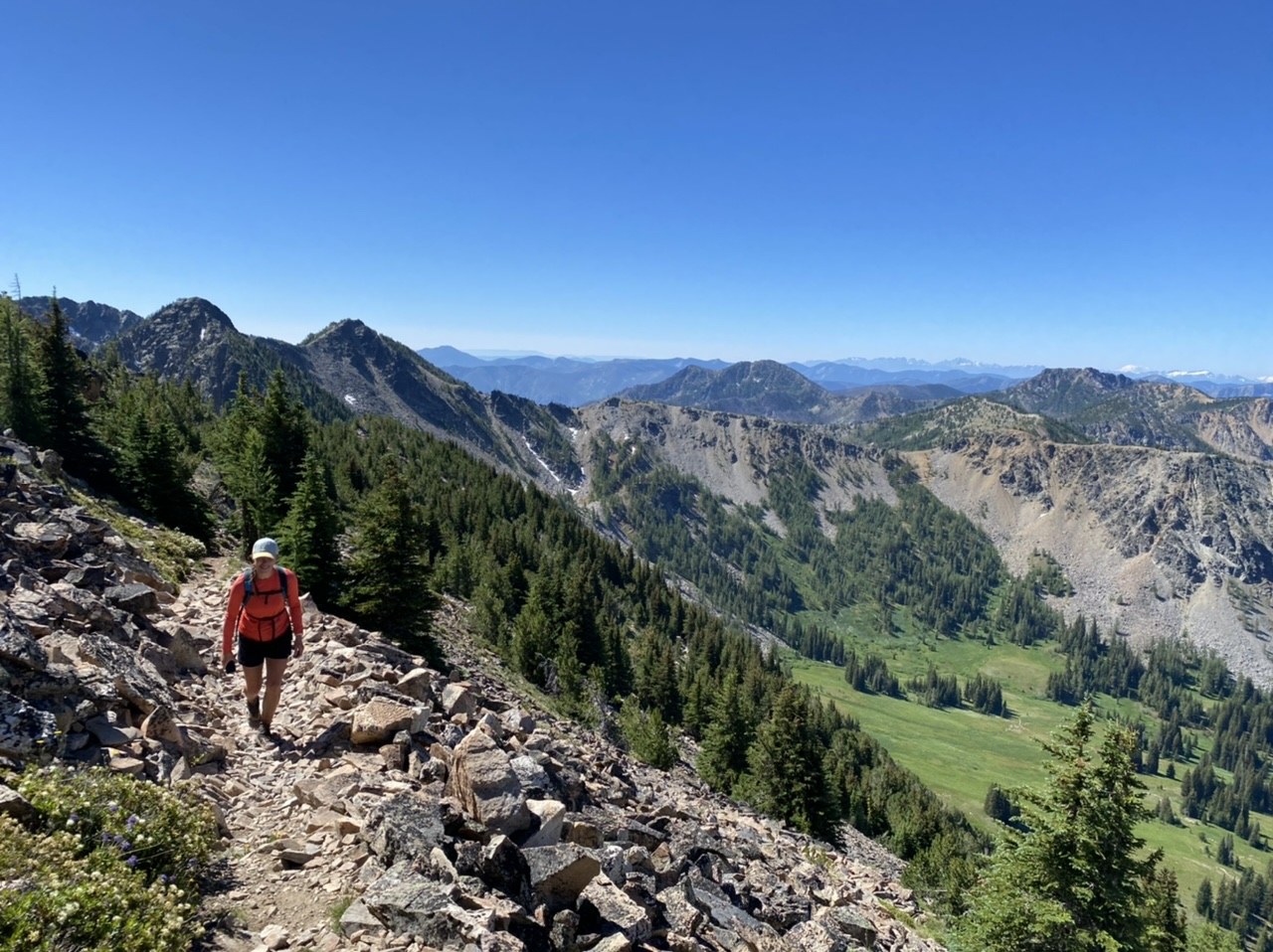 Once you climb up out of the forest, endless views and wildflowers have plenty on offer for summer hikers. Photo by trip reporter JaimeR.
While we spotlight famous Cooney Lake below, it feels like neglect to leave out the full Sawtooth Lakes Loop, since so much of this gorgeous area sits squarely in a Roadless area. Best known as a destination for late fall, this area can get overlooked as a peak summer destination. But this loop, stringing together visits to small lake basins with giant views, is worth adding to your list (even if it just means a day hike to Eagle Lake to sample the area).
>> Roadless area: Sawtooth
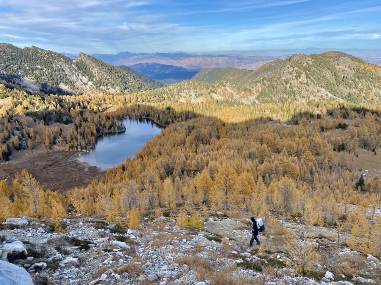 Cooney Lake is a classic larch hike in late fall, but makes an excellent destination in summer as well. Photo by trip reporter Jaimeeee.
This long haul into one of the more popular Sawtooth Lakes makes it an ideal backpacking trip (or very long day hike or run). It's well known for fall larches, but if you can catch the late summer or early fall window between early mosquitoes and peak larches, you might have a better shot at a quieter hike. Brush up on your share-the-trails best practices before you go, since this is a climb up through forest into the views-galore basin is a multi-user trail. Expect to drink in the beauty with mountain bikers and horseback riders. (Motorcycles aren't allowed at Cooney, though they are allowed on the nearby Martin Lake trail.)
>> Roadless area: Liberty Bell
 Hiking along the northern stretch of the Pacific Crest Trail on the edge of the Pasayten Wilderness shows off giant views. Photo by trip reporter DaphneF.
The Liberty Bell Roadless Area contains some of the most beloved and classic hikes in the North Cascades, in part because the Pacific Crest Trail travels from Hwy 20 north through high country that shows off the best of summer and fall. While iconic destinations like Cutthroat Pass are well known and easier to get to (when not under construction), this section that starts high above Mazama offers giant views, including a classic look at the face of Mount Ballard. Snack on berries and collect dreams of your next hike into the Pasayten or along the Pacific Crest Trail.
South Cascades

>> Roadless area: Dark Divide
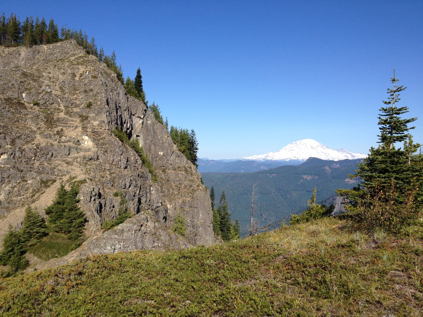
Mount Rainier views from Tongue Mountain in October. Photo by chrisburke.
Encompassing more than 50,000 acres, the Dark Divide is one of the largest roadless areas in Western Washington, yet relatively few hikers venture there. Tucked between Mount Rainier, the Goat Rocks and Mount St. Helens, it's an incredible part of Washington where hikers, mountain bikers, horse riders and motorcycle riders can recreate with views of fascinating geological formations. Tongue Mountain rises from the valley floor on a rutted but clear trail to a gorgeous view from the summit. It’s a bit of a scramble to the true peak, but views are good even from the base of the peak.
>> Roadless area: Dark Divide
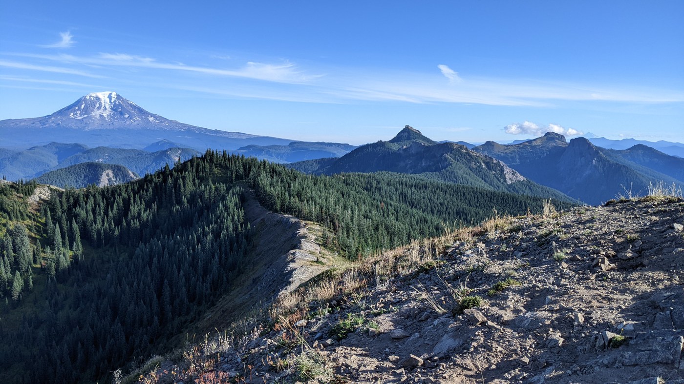 Photo of Sunrise Peak and Mount Adams from the ridge in September. Photo by trip reporter mcblain.
Right next door to Tongue Mountain, the Juniper Ridge trail offers similar ridge-top views of Cascade volcanoes, meadows that turn golden in fall and — if you time it right — huckleberries for days. The Juniper Ridge Trail offers an excellent opportunity to spend a day or two drinking in the best of the South Cascades, taking you past a few Dark Divide classics, including former lookout Sunrise Peak and Jumbo Peak. This generally quiet trail is shared with motorized trail users, so give a wave and go ready for trail conditions that often contain ruts.
>> Roadless area: Dark Divide
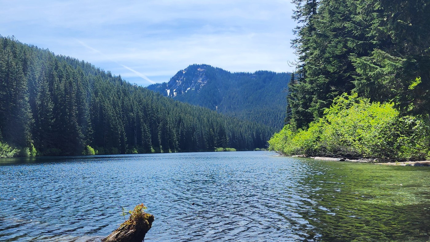
Blue Lake in the Dark Divide. Photo by trip reporter hike.read.repeat.
This short, hiker-only trail in the Dark Divide connects hikers to an arresting, appropriately named blue lake jumping with fish. It takes a bit of climbing to get here, but if you can get past its quiet shores, it's a short jaunt to connect with the Craggy Peak trail and miles of ridgeline hiking that the Dark Divide Roadless Area affords.
>> Roadless area: Bourbon
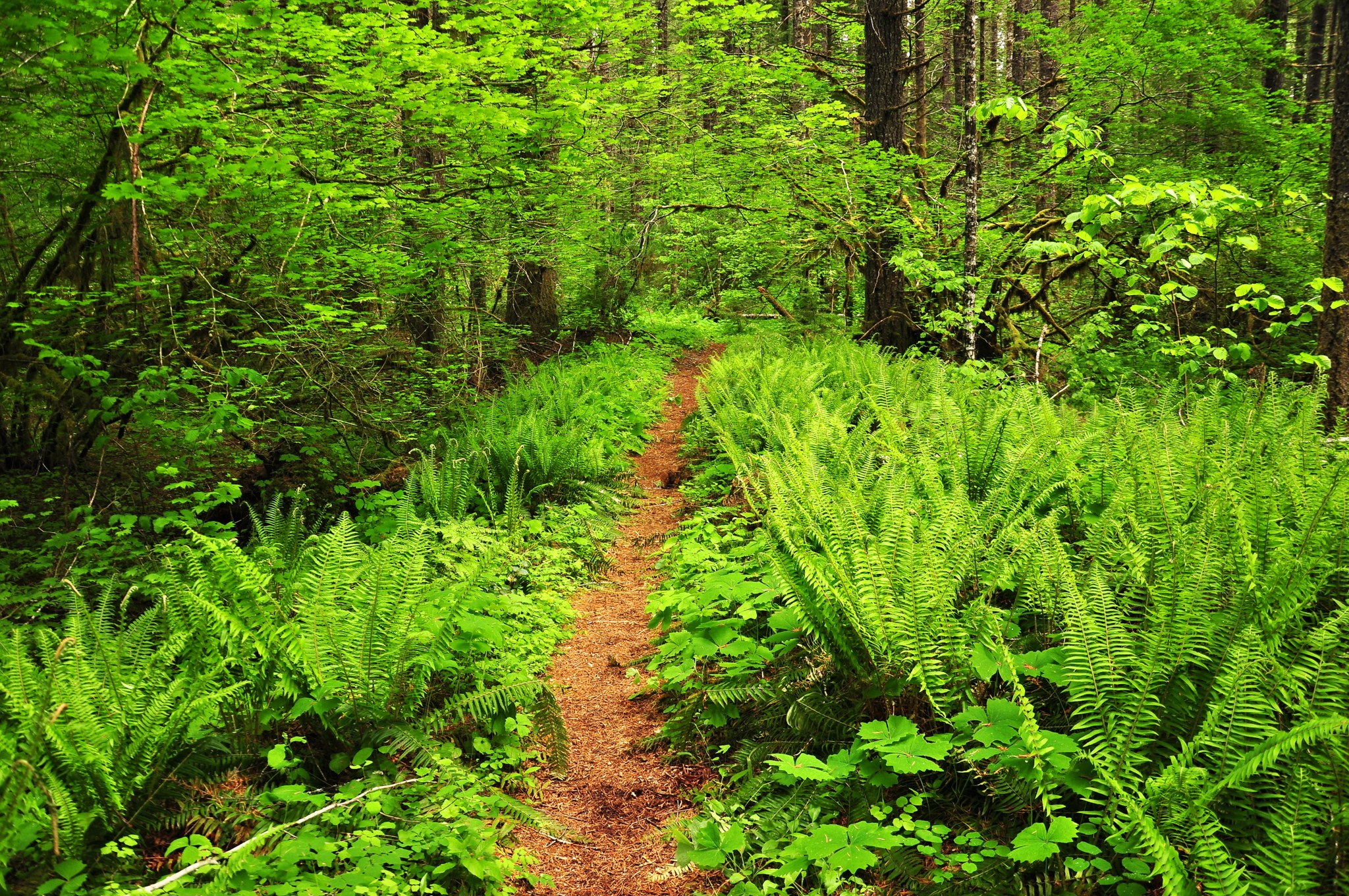
A soothing stretch of green along the Dry Creek trail. Photo by justpeachy.
With only 350 feet of total elevation gain, this lush trail on the edges of Trapper Creek Wilderness is hikeable by almost all. It also hosts an impressive old-growth forest, complete with Douglas firs, bigleaf maples and hemlocks. At about 4 miles in, you’ll get a chance to cool your feet in Bourbon Creek.

>> Roadless area: Big Lava Bed
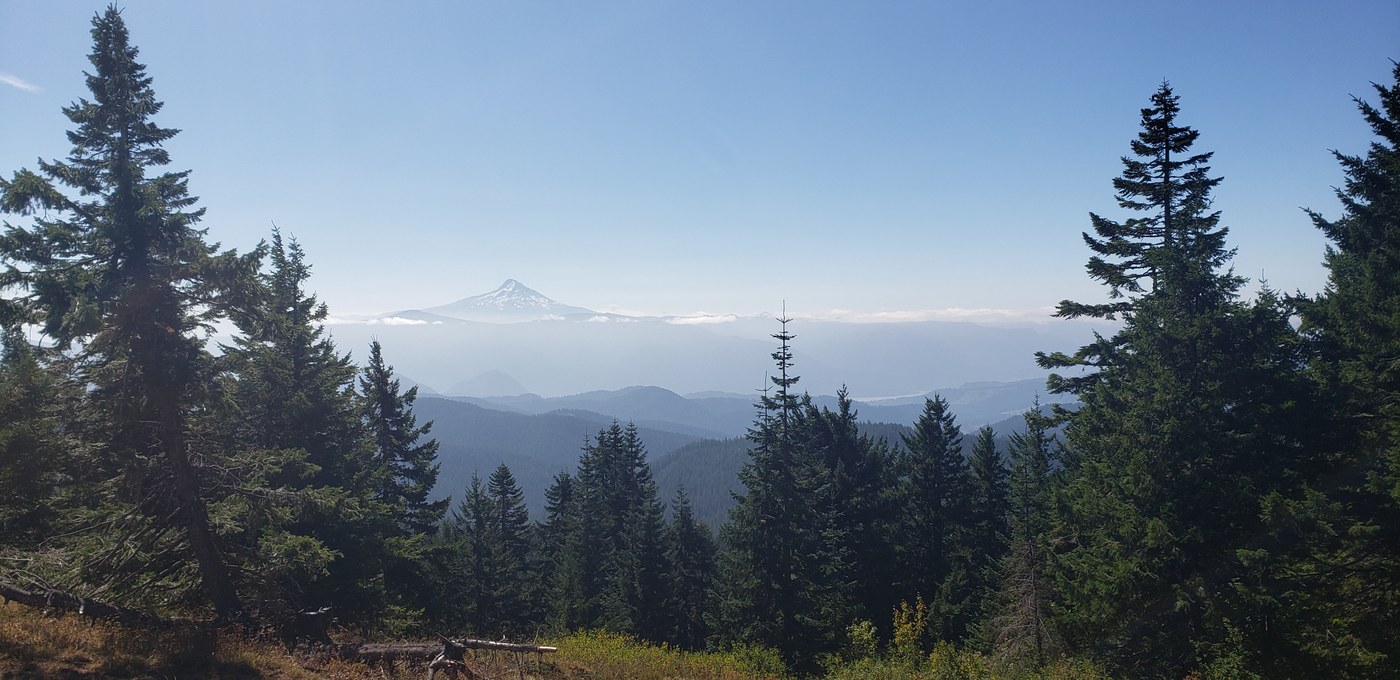
An early September view of Mount Hood to the south. Photo by trip reporter ridgewalker17.
From the trailhead, make your way through meadows (that can feature some spectacular wildflowers earlier in the year), forests, and expansive views. And, there is no need to make the entire 11.5-mile trek. Many hikers stop at Grassy Knoll (2.2 miles from the trailhead), content to bask in the views of Mounts Hood and Adams. But those bound for Big Huckleberry Mountain continue on, weaving onward through wildflower meadows and forest. As summer fades into autumn, all those huckleberries will be harder to find, but the bushes will light up the way with their autumn color.
Central Cascades
Thorp Lake


8.7.26: The trail is closed due to the Three Queens Fire.
-
 Length
- 5.8 miles, roundtrip
-
 Elevation Gain
- 1,260 feet
>> Roadless area: Thorp Mountain
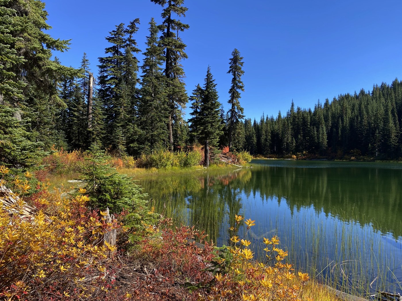
Fall color at Thorp Lake. Photo by JKnapper.
Thorp Lake is a sweet, small lake that often gets bypassed by folks looking to reach the more famous lookout views of Thorp Mountain. But this lake has its own appeal as a destination and sits in the middle of a Roadless area spanning the peaks between Cle Elum and Kachess Lakes, including Kachess Ridge, French Cabin Mountain and Red Mountain. The climb is steep enough to offer plenty of challenge and it's an ideal picnic destination spot or mid-week overnight. (Note that both parking and established campsites are limited.)
>> Roadless area: Teanaway
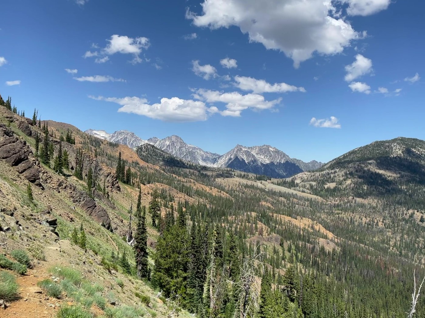
Mid-August views of the Stewart Range from the from a the divide connecting the Stafford and Standup trails. Photo by Dick Burkhart.
Take your pick of any number of beloved Teanaway-area trails, and many of them will sit squarely in the Teanaway Roadless Area. From the lush upper meadows of Bean Creek to the rocky peaks like Earl and Iron Peaks favored by mountaineers and scramblers in the early summer, this series of trails is rich in day hikes, long loops and backpacking trips for everyone. The Standup Creek trail starts off crisscrossing the creek before climbing to gain more open terrain and the views it offers.
Looking for a similar option with fewer miles? Try Bean Creek Basin right next door.
>> Roadless area: Teanaway

As the clouds roll in towards late fall, they offer more dramatic views and the first dusting of October snow. Photo by JAB7.
Standing tall between the West Fork and Middle Fork Teanaway River, Jolly Mountain rises up with promising views of Rainier and the Stewart Range. This route to the summit is half as short as the standard 13-mile roundtrip approach and smack dab in the middle of the Teanaway Roadless Area. The trailside environment is stark, since this area burned recently, and a study in watching the slow, fascinating process of fire renewal in action. It makes a great dayhike, and there are many options to put together your own route for some early fall backpacking.
Olympic Peninsula

>> Roadless area: South Quinault
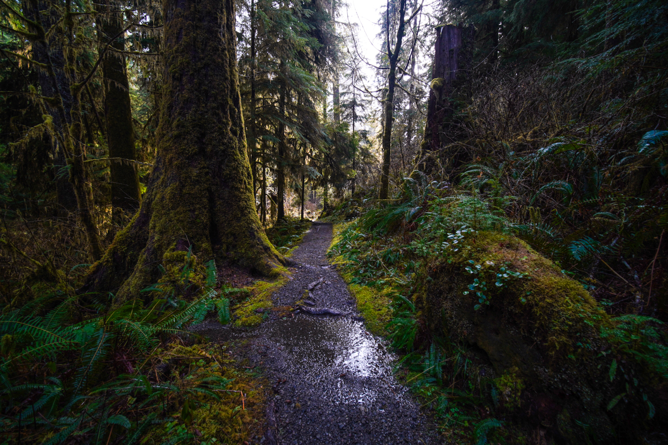
This short hike is a stunner in fall once the leaves start to change color. Photo by Brittanywanderlust.
Dive into Washington’s incredible rainforest when exploring this section of Highway 101. Lake Quinault is a destination in and of itself, with camping options nearby. This short trail is kid- and dog-friendly, and will leave you in awe of Washington’s forests. Looking for a longer hike? There are plenty of miles and options in the interconnected trails that make up the Quinault National Recreation Trails network.
>> Roadless area: Quilcene
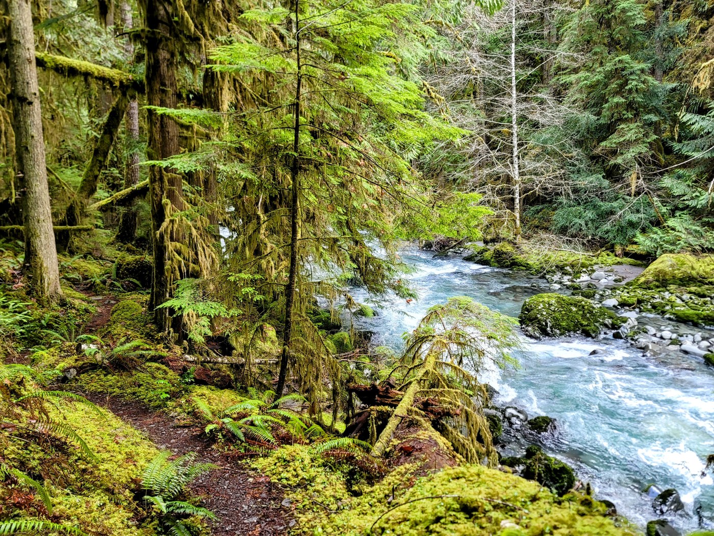 The Lower Gray Wolf River. Photo by Eric Katanaboy
Enjoy a ramble or a low-key overnight on this treasure of a low woodland hike that starts in the Roadless area and has something new to offer in almost every season on its way into the Buckhorn Wilderness before meeting the river and walking along the river bottom into a narrow gorge. In late summer, the trees and river offer relief on hot days. As the days shorten and cool, the colors and leaf-lined trail ease you into autumn. Look out for salmon spawning and amazing mushrooms later in the season.
Eastern Washington

>> Roadless area: Grassy Top
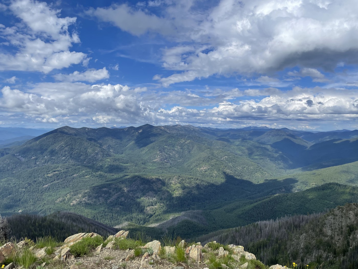
Classic summer Selkirk views out to Crowell Ridge from Hall Mountain. Photo by RichP
In the quiet northeast corner of the state, nestled at the south side of Sullivan Lake in Colville National Forest, the ruggedness and beauty of the Selkirk Range show off its stuff on Hall Mountain. This trail starts at the Noisy Creek Campground and follows the Noisy Creek River for a few miles before really starting the climb in earnest. In some years, these first few miles might be enough of a hike (depending on the trail maintenance). But if you're up for adventure and a challenge, the top of Hall Mountain is a former lookout site, which means you are guaranteed incredible views. Want similar views with less effort? Grassy Top lets a car do more of the climbing.
>> Roadless area: Abercrombie - Hooknose
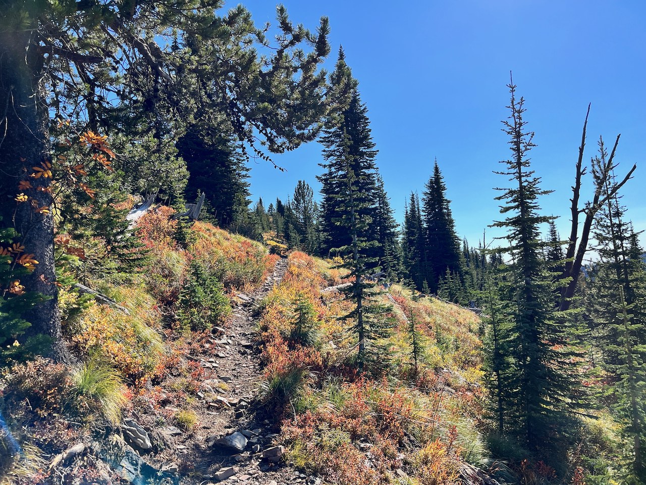 October colors and the rocky upper trail heading southeast along the open ridge. Photo by DaphneF
This 7.3-mile hike climbs through dense forest before breaking out into meadows on the climb that offers horizon-spanning views — the Cascades, British Columbia’s Rossland Range and Idaho’s Selkirks — from Eastern Washington’s second-highest peak. Abercrombie Mountain and its neighbor to the north, Hooknose Mountain, crown more than 30,000 acres of incredible terrain that has been proposed for wilderness designation.