


Half a Day or Farther Away: 11 Hikes for Summer
Washington state is a hiker's paradise. From shaded trails enshrouded in moss-covered trees to vast, rolling hills to rugged, ice-capped mountains, trails are everywhere. The kind of public lands that host these trails vary just as much as the landscapes themselves. Some of your favorite backyard hikes are on city and county lands, but some of those epic trips are served up on federal lands like national forests and parks.
Below you'll find just a sampling of some terrific hikes that you can work into a busy weekend, or destinations worth making time for.
North Cascades
Home to Mount Baker, Mount Shuksan, and the North Cascades National Park, this region of Washington offers many trails hugged by evergreen forests on federal or local lands.
Land manager: Mt. Baker-Snoqualmie National Forest


Mount Baker from Anderson Butte. Photo by Muledeer.
Don't let the short distance fool you--this trail ends with a steep (and rewarding) hike. Wander through meadows, forests and boggy patches to end up at the top of the valley with a view of Mount Baker, Mount Shuksan and Anderson Butte.
Land manager: Mt. Baker-Snoqualmie National Forest
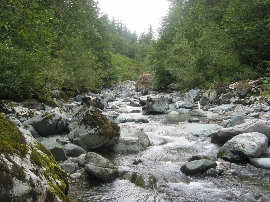
Be cautious of higher water levels in the creek earlier in the hiking season. Photo by rolando.
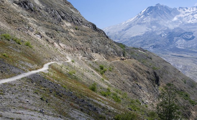
Looking for an intense adventure? This hike will take you across bridge-less streams, steep slopes and require some navigation through dense foliage. This old-growth route will connect you to the Lake Ann Trail at the 8 mile mark.
Puget Sound and Islands
In between Olympic National Park and Mt. Baker-Snoqualmie National Forest, this more urbanized region is well within reach of some astounding recreation options. While many hikes in this region are popular, there are still opportunities to explore trails with little foot traffic.

Land manager: San Juan Island National Historical Park
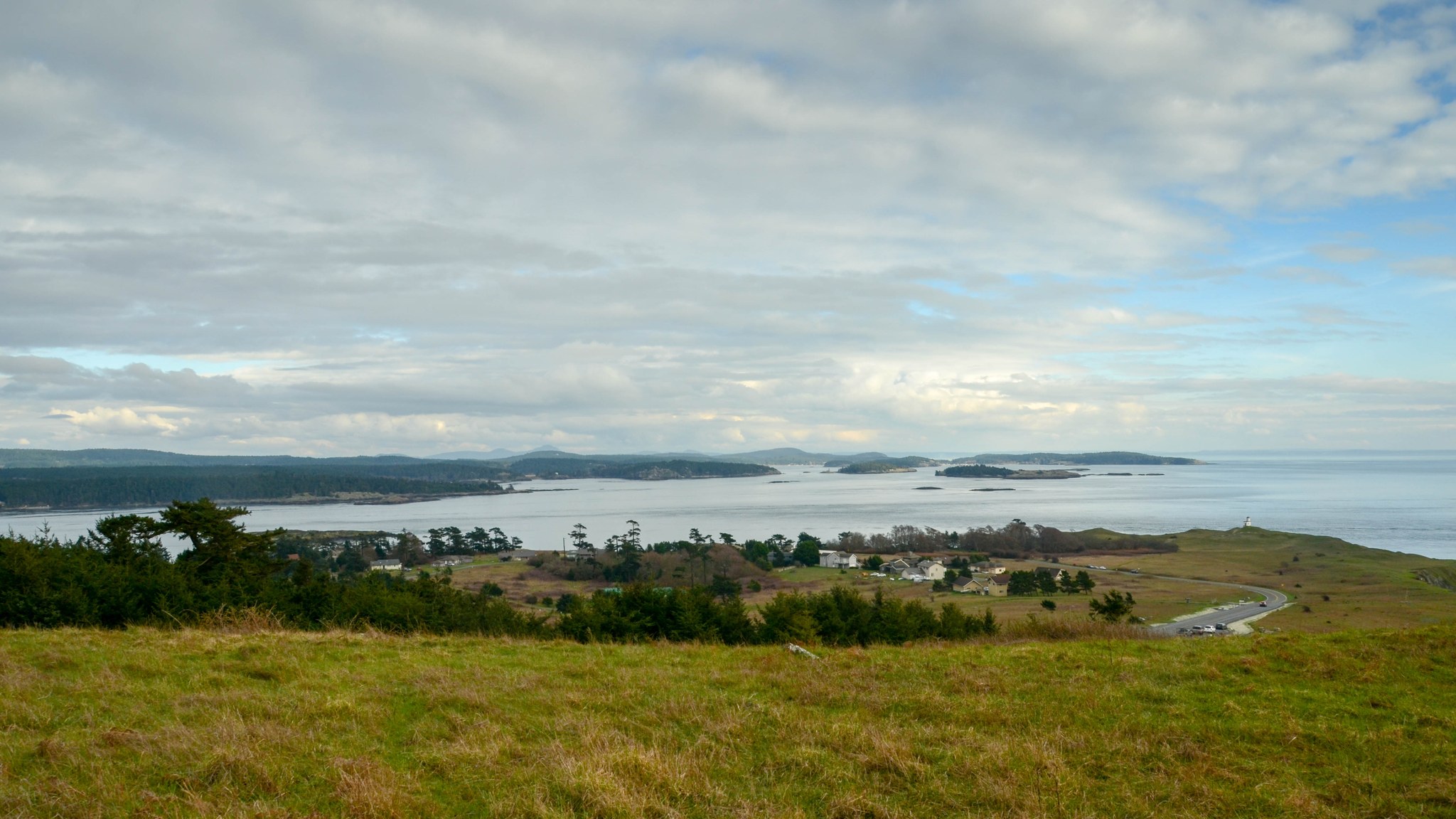
A spectacular view from Cattle Point, on Mount Finlayson. Photo by Sean P.

The views from this trail will leave you in awe. Escape from the hustle and bustle of the city and take in the scenery of San Juan Island. From Mount Finlayson's summit, you can see the other islands speckled nearby, Whidbey Island in the distance and the Olympics in the background.
Land manager: City of Puyallup
 Swings along the trail. Photo by Hiking Nerds.
A trail doesn't have to be in the wilderness to be a hike. If you're looking for a serene getaway within city's reach, check out the Clark's Creek Park Loop. The loop winds through six city parks, giving you a nice mix of urban and scenic sights.
Land manager: Skagit County Parks and Recreation
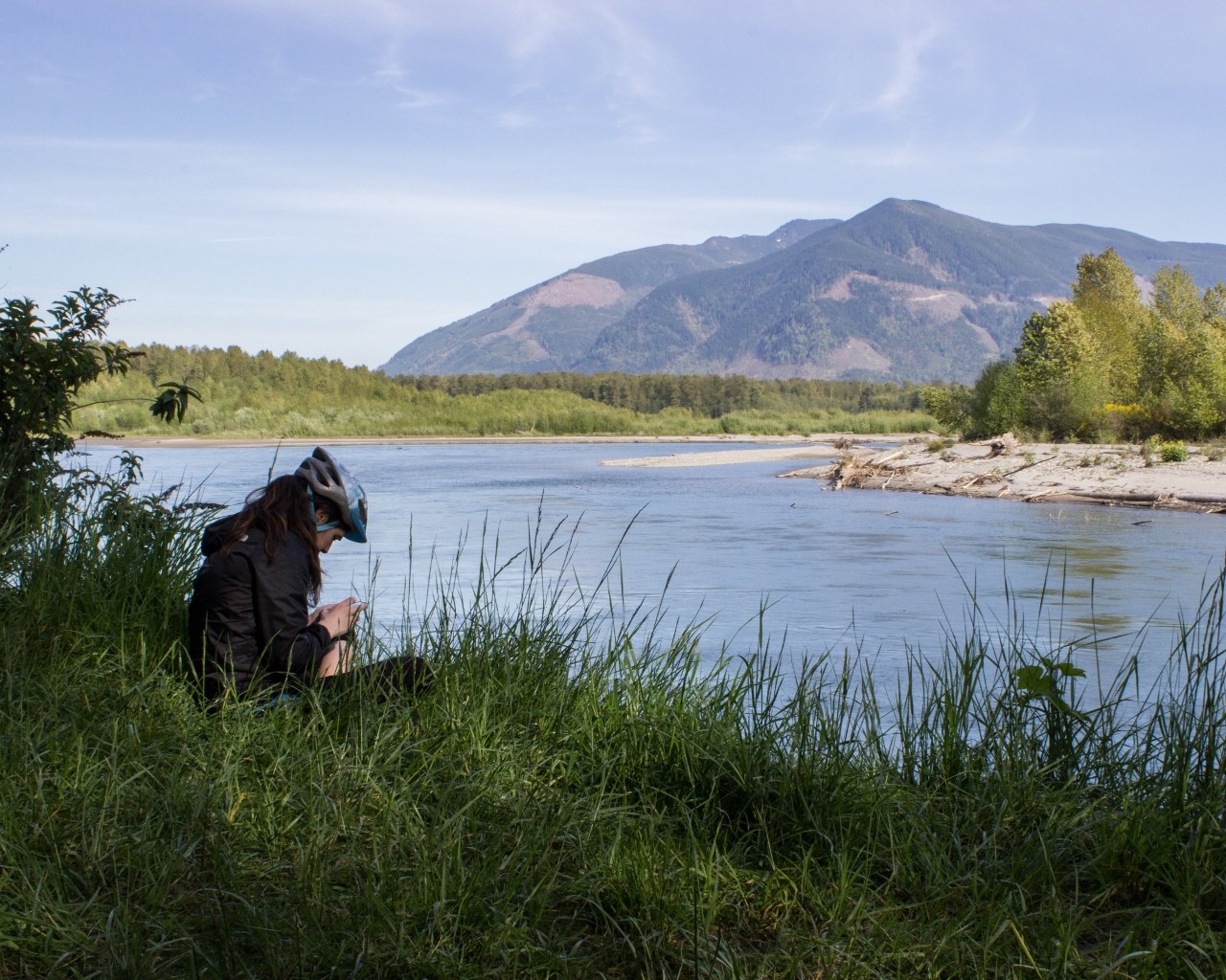
A riverbank on the Skagit River. Photo by Surviving Urban.
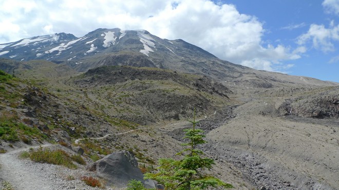
A gentle and extensive hike, the Cascade Trail will take you along the Skagit River and through the rural farmlands of Skagit Valley. Follow the trail up north, and immerse yourself among the plentiful wildlife and scenic viewpoints.
Southwest Washington & Olympics
This region hugs the Pacific, where the Columbia River empties into the sea. Although it is an area known for miles of sandy beach, there are some great wilderness hikes a bit farther inland as well.
Julia Butler Hansen National Wildlife Refuge for the Columbian White-Tailed Deer


The 5-mile Center Road trail is closed between Oct 1 and May 31 each year.
-
 Length
- 5.6 miles, roundtrip
-
 Elevation Gain
- 0 feet
Land manager: Julia Butler Hansen National Wildlife Refuge
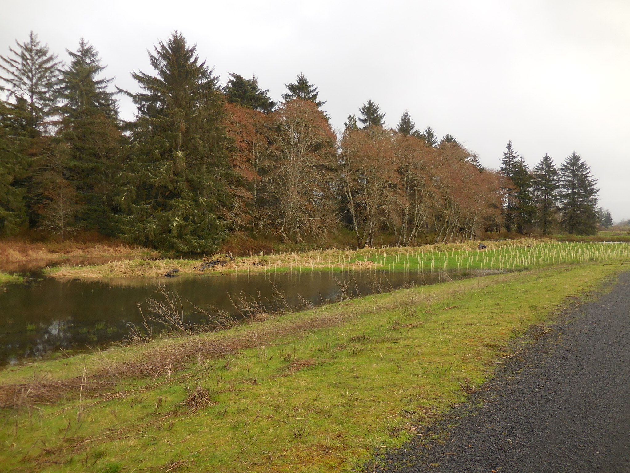
Rustic colors line the northern part of the trail. Photo by Anna Roth.

This trail will give you a good mix of both the river bank and the beach. Winding alongside the Columbia River, this trail takes you through the Julia Butler Hansen National Wildlife Refuge, named after the first woman on the Cathlamet City Council who had a passion for protecting wildlife.

Land manager: Olympic National Forest
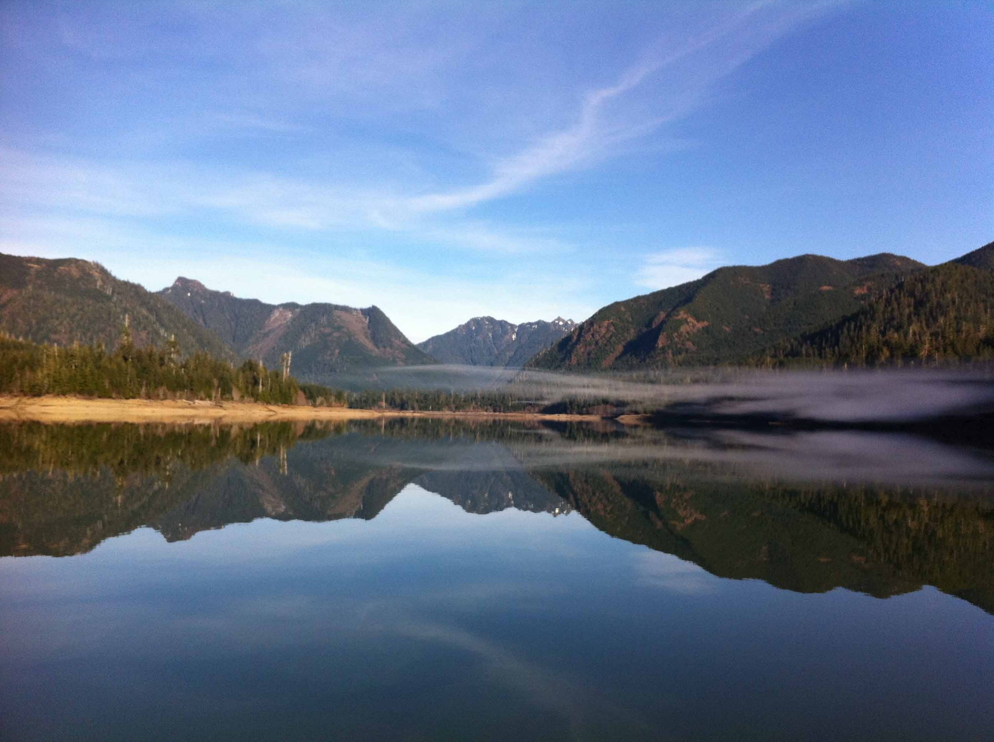
A calm, mirror-image of the mountains. Photo by austin.
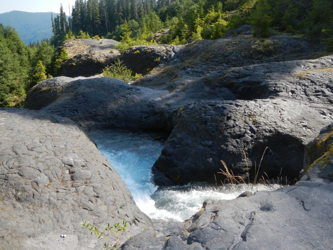
While this trail is actually quite a bit north of the Southern Coast, if you're looking for a longer, quiet hike, it is well worth the trip. With the option to either ford the Wynoochee River or end at Maidenhair Falls, this trail offers an array of summer flowers around a calm lake.
Central Cascades
With a combination of the mountainous terrain of the Okanogan-Wenatchee National Forest and the gentle lowlands surrounding the Columbia River, the center of the state has a multitude of hiking opportunities on a variety of land types.

Land manager: Mt. Baker-Snoqualmie National Forest

Skyline Lake on a sunny day. Photo by dabrew.
This short but steep trail takes hikers from the Stevens Pass Ski Area to Skyline Lake, a glittering alpine lake. The trail parallels the Pacific Crest Trail, and offers hikers nice views of the ski area from above.
Land manager: Okanogan-Wenatchee National Forest

Rugged rocks crown Crescent Lake. Photo by Shadowdad.
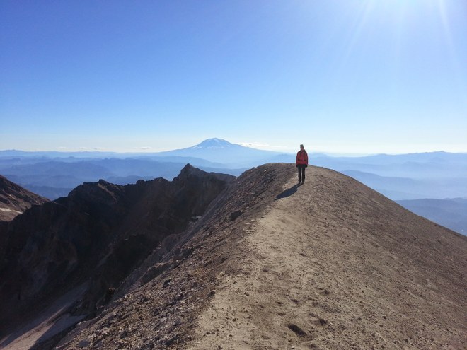
This hike will give you seclusion and a serious workout. Begin the first two miles of the trail with a steep ascend--1600 feet. Traversing through steep ridges and lush meadows, this trail ends up at the beautiful Crescent Lake.
Eastern Washington
The expansive Colville National Forest is an obvious home to some magnificent hiking opportunities, but there are some local, more urban trails to explore around Spokane.

Land manager: Spokane County Parks

Lush green and gold around Slavin Pond. Photo by The Happy Wanderer.
Birdwatchers behold: a pond surrounded in a golden ring of marshland and a spot with over 120 species of bird. Slavin Pond is not limited to bird lovers— more than 3 miles of trail will take you through ponderosa pine forests and lively fields.
Land manager: Colville National Forest
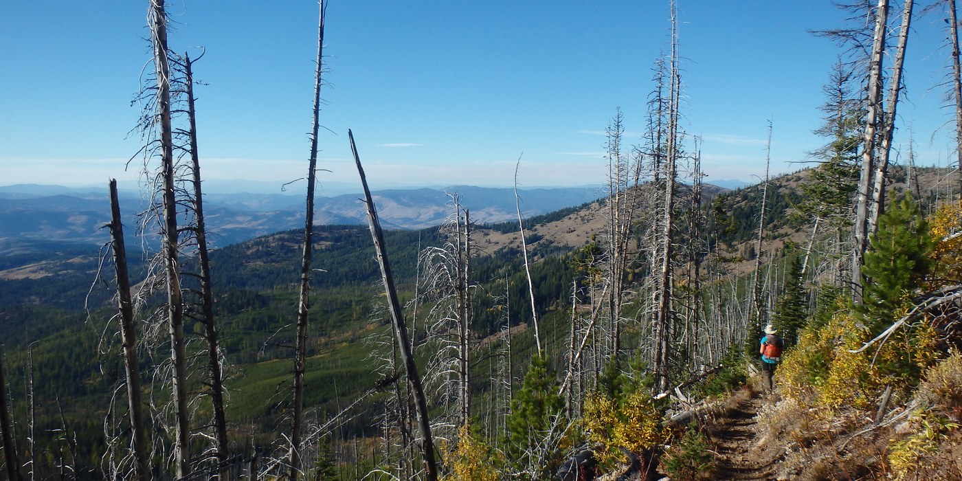
Views on nearby Copper Butte in the Okanogan Highlands. Photo by austineats.
This trail offers not only Eastern Washington wilderness, but some of the region's history as well. Hiking along the trail, notice the remnants of past wildfires and a historic wagon road. This long route takes you through hillsides, meadows and forests, and provides rugged mountain views.
Southeast Washington
Unlike the mountains in other regions of Washington, this corner of the state has gentle, rolling hills with low shrubs and unobstructed views. These trails don't require thousands of feet in elevation for a breathtaking view.

Land manager: Benton County Reserves
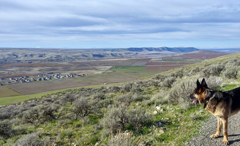
A view of the vast lowlands. Photo by Girl and Dog.
The top of this mountain features a 360 degree view of the Tri-Cities, surrounding hills and distant mountains. Walking along the the Skyline Loop, you may not notice the elevation gain, however, you will certainly notice the wildflowers, sagebrush, and landmarks from the great Missoula Floods.
Land manager: Umatilla National Forest
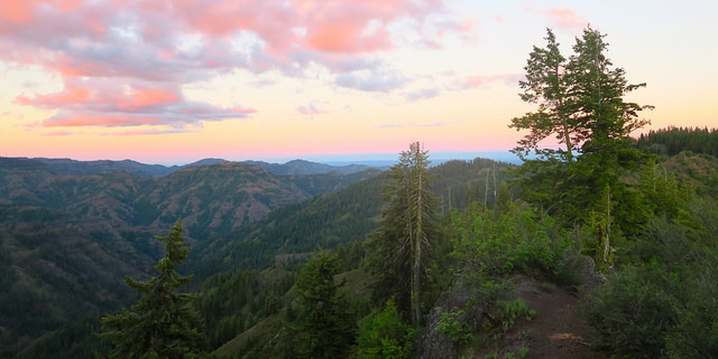
Views of the Wenaha-Tucannon region. Photo by markweth
This hike will plant you into the heart of the Wenaha-Tucannon wilderness. A fully scenic trail, Smooth Ridge also supplies your long hike with some of the freshest water from the Oregon Butte Spring.