


Hike the State 2026: Four WTA staff share 14 favorite summer hikes
Get excited for your next adventure with four WTA staffers as they reveal some of their favorite hikes from around the state. No matter your preferred type of trail, there's something here for everyone, as well as some great resources (and even food suggestions) to help you plan your next hike.
If you try any of these hikes, we'd love to hear about it in a trip report. If you can't make it out on trail right now, save them to your My Backpack account for later.
If you find these WTA resources helpful, consider becoming a member and supporting our work. Thank you for investing in the future of trails.
Nicole’s Hikes
Nicole Masih-Théberge (she/her) - Senior Community Engagement Coordinator
Nicole grew up hiking and camping all around the Pacific Northwest. She has spent her career working in a variety of roles for nonprofits in youth development, volunteer management and grant writing. Leading several camping and hiking trips while working for Girl Scouts of Western Washington further ignited her excitement for increasing access to nature and outdoor recreation. Nicole is passionate about environmental and social justice and is thrilled to be working with WTA to support and grow community engagement with the outdoors. When she’s not working, you can usually find her on a walk, reading or cooking.

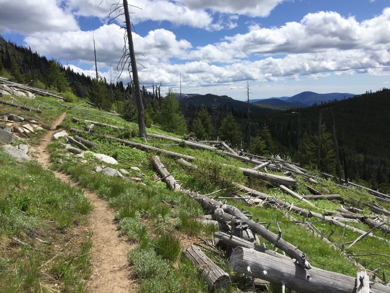 Sherman Peak Loop by sagehensagehen
The entirety of the Kettle Crest Trail is 44 miles one-way, traversing some of the highest peaks and best wildlife habitat in Eastern Washington. The wildflowers along this trail are fantastic in the spring, whole sections are purple with lupine in May and June. This trail is part of the Pacific Northwest Trail, is very accessible from Highway 20, and is the highest pass in Washington open year-round. If you’ve got time and you’re looking for a challenge, you can thru hike the whole trail and lookout for moose, cougar, black bears and mule deer. Campsites are scattered along the whole route.
WTA Pro Tip: If hiking 44 miles is not your thing, consider:
- Hiking north from the trailhead to check out Columbia Mountain for a cool fire lookout. This is a 6 mile hike with both camping and hotels close by.
- Hiking south from the trailhead to check out Sherman Peak Loop, which is a little under 6 miles. On a clear day, you can see the Cascades from this hike!
Four Tacoma Parks
This is four recommendations in one. Here are four Tacoma parks that you could hypothetically visit in one day, or perhaps a weekend. These are all managed by Parks Tacoma with free parking.

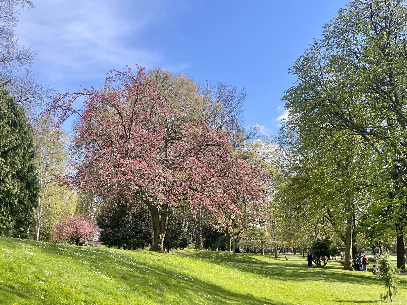 Photo by ZhuckYu
This great park has a trail meandering through it that is about a mile if you go around the whole outer rim. It’s an arboretum, so check out the names of trees posted on plaques throughout!
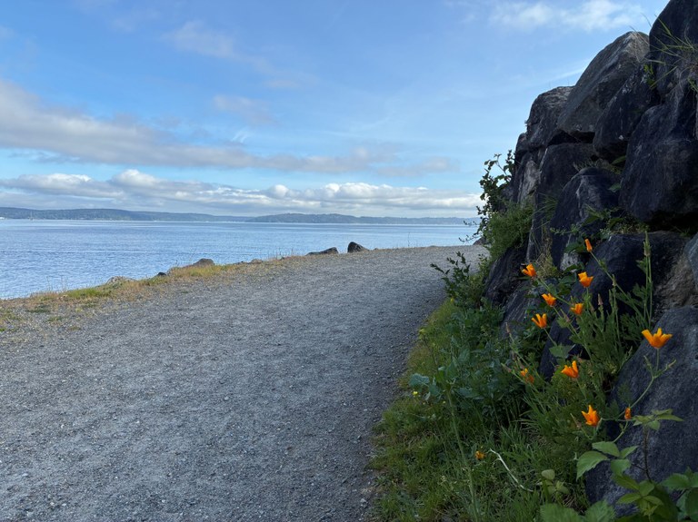
Photo by Nicole Masih-Théberge
Chinese Reconciliation Park is a small park right on the water. Read about the history of the Chinese Exclusion Act in Tacoma, and check out the beach and a gazebo. The trail is gravel and mostly accessible (I’ve been there with the little one in a stroller, for example).
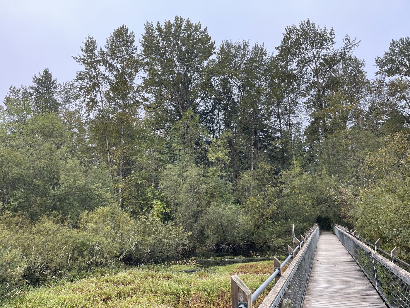 Photo by nomums1
This is a great little trail system, easily accessible in the city. Note that you can take a route with some switchbacks and elevation gain, or you can stay relatively flat with bridges through wetland areas.
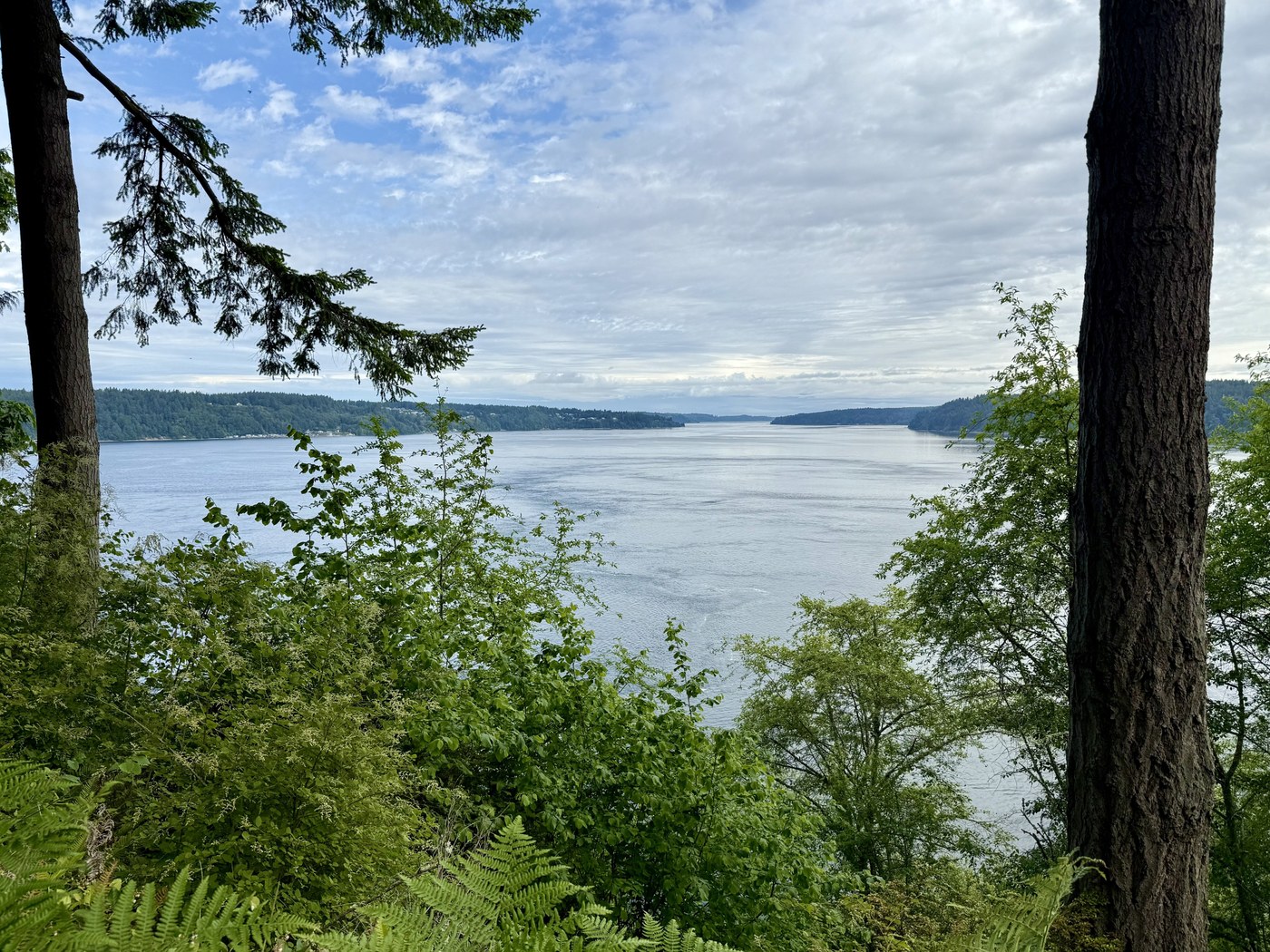 Photo by Ipick10
With more than 640 acres, Point Defiance Park can really make you feel like you’re deep in a remote forest. There are views of the Olympics AND Mount Rainier on a clear day. The main trail is 5 miles round trip, but you could get in many more miles than that with how large this park is.
WTA Pro Tip: To really make a day of it, you could walk along the waterfront from Chinese Reconciliation Park to Point Defiance or vice versa! There is plenty of parking along the Ruston Way Waterfront, or at either park.
Cassidy’s Hikes
Cassidy Giampetro (she/her) - Advocacy Manager
Cassidy experienced a true call to the mountains when she moved from Miami, Florida to Seattle eight years ago. She embraces the built-in way that access to the outdoors and enjoyment of our public lands permeates Washington life. With WTA, Cassidy leads coalitions and collaborates with diverse partners to strengthen stewardship and planning across Washington’s trail networks.

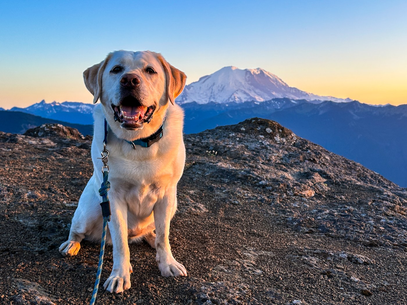 Photo by Mary&Mollie
A beautifully-spooky hike through a ridgeline of silver snags that shows off full views of the nearby Mount Rainier. Listen for the whistle of the wind as you navigate the burned forest and its gorgeous offerings of wildflowers, butterflies and expanse valley views. Consider hopping on the hike at sunset or sunrise to get a front row seat to a glowing Rainier.

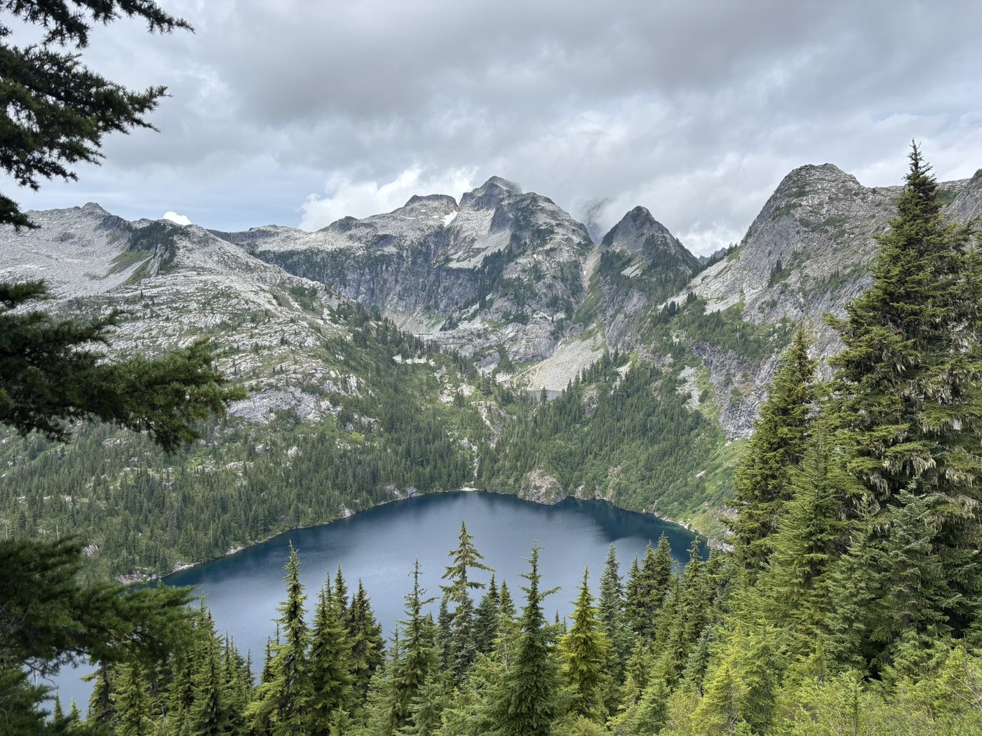
Voyage up, up, up through forests and meadows to reach stunning mountainscape views atop a North Cascades peak. Beginning in a roadbed for the first couple of miles, take the winding trail to either Thornton Lakes for some permitted camping or a dip in some water or venture up towards the scramble that is Trappers Peak. Admire the snowpack and texture to pointy mountains galore, feeling like you’re in the sky.

 Photo by David Hagen
Bracketed by basalt columns, this hike lets you enjoy a brushy blue wander through the coulee as you meander along the shores and canyons of Dusty Lake. Expansive skies defined by the hard angles and mesmerizing geology draw your eyes up, while a search for wildlife — like Washington’s pygmy short-horned lizard or snakes — has you looking amongst the grasses. Consider this destination for fishing, camping, hiking and birding.
Brandon’s Hikes
Brandon Tigner (he/him) - Senior North Puget Sound Trails Coordinator
Hailing from Columbus, Ohio, Brandon discovered his passion for the outdoors first as a volunteer and then as an assistant crew leader with the Maine Appalachian Trail Crew. Making his way to the Pacific Northwest he WWOOFed on an organic farm, conducted salmonid life cycle surveys and worked construction. Jumping back into the trail world, Brandon spent two incredible seasons with WTA as the Southwest Regional Trail Crew Leader before joining Trailkeepers of Oregon as their North Coast Stewardship Coordinator. With WTA, Brandon works in the majestic Cascade Mountains as well as the North Puget Sound Region! Brandon’s other passions include playing guitar, eating pizza, and adventuring with his family!
Boundary Trail


The trail is currently inaccessible from the Johnston Ridge Observatory due to a landslide on SR 504. The road is expected to be closed through 2027. **The trail is still accessible via the Hummocks trailhead.**
-
 Length
- 57.0 miles, roundtrip
-
 Elevation Gain
- 12,300 feet
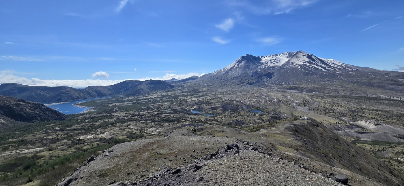 Photo by Fred V
The Boundary Trail takes you right through the heart of the Mount St. Helens blast zone. Currently the Boundary Trail access is closed at Johnston Ridge due to a road washout before the observatory, but remains accessible from the Hummocks trailhead. Old-growth trees knocked flat in every direction, lying exactly where the eruption put them 45 years ago. But at the same time there are wildflowers coming up through the debris, young trees getting established, elk moving through meadows that didn't exist before 1980.
WTA Pro Tip: Get out here before the snowpack fully melts, water sources disappear once it's gone. If you plan on backpacking, camping at Dome Camp and Bear Camp both require permits so plan ahead.
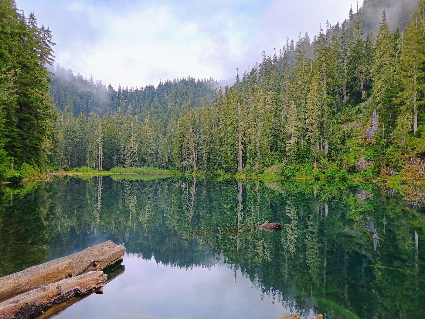 Independence Lake by Dub Three
Three-quarters of a mile from the trailhead, you get a quick, amazing payoff. The lake is beautiful, the setting is quiet, and because it doesn't have the name recognition of the other lakes up here, you can actually just be there. There's camping at the far end with a toilet, which in the backcountry is basically a luxury resort. And if you push above the lake into the upper basin, there are more lakes to find, and you'll likely have it completely to yourself.
WTA Pro Tip: This trailhead has a small parking area that fills up fast on summer weekends. Try to go on a weekday. Don't stop at the lake! The upper basin is where the real payoff is.
Lyle Cherry Orchard

6.29.26: The trail is closed until further notice due to the Lyle Hill Fire.
-
Length
- 6.5 miles of trails
-
Elevation Gain
- 1,050 feet
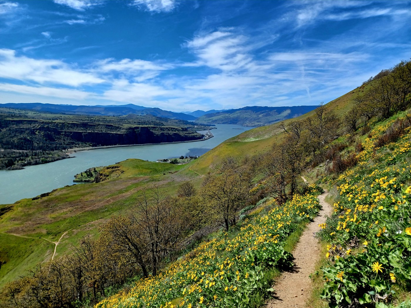 Photo by NatureFox
The Washington side of the gorge has real gems, and Lyle Cherry Orchard is one not enough people know about. In spring, the wildflower bloom is something else — death camas, grass widow, balsamroot, glacier lilies, larkspur; it just keeps going. WTA volunteers partnered with Friends of the Columbia Gorge to design and build two loop trails here, turning a basic out-and-back into a full trail system, with crews on the ground every year from 2020 through 2024. You can do either loop separately at 4 or 5 miles, or combine them for a 6.5-mile day with two completely different sets of views.
WTA Pro Tip: Poison oak and ticks are real out here. Wear long pants and check yourself after. The wildflower window is March through May, with peak bloom in April. And save your directions before you leave, cell service near Lyle is basically nonexistent.
MJ’s Hikes
Maryjo "MJ" Mahan (she/her) - Senior Community Partnerships and Leadership Development Coordinator
Maryjo, also known as MJ, was born and raised in the Bay Area but is now settling into her PNW roots. After graduating from UC San Diego with a B.S. in Physiology and Neuroscience she worked in academic research for several years. She is a certified Environmental and Outdoor Educator from California’s Association for Environmental and Outdoor Education (AEOE) and has worked with various nonprofit organizations focused on environmental justice and empowering BIPOC youth through the outdoors. Her true passion is to continuously create equitable and accessible outdoor programs for underrepresented youth and communities. MJ's hobbies include reading, running, hiking, birding, silly dancing, playing ultimate frisbee, and talking about and watching sports (Golden State Warriors specifically). If she's not doing any of those, you can likely find her drinking kombucha and sitting in a camp chair by a body of water.

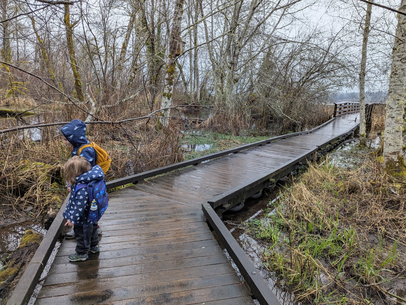 Photo by iamsarahshu
Across the bridge from Belfair State Park, Theler Wetland Trails invites you to explore a series of trails leading you to a 360-degree view. What is so great about this park is that the trails go through a series of gravel trails, boardwalks and neighborhoods. The trail starts off on the side of a road and takes you to a boardwalk through trees and brush into a tidal marsh area. Along the trail, there are interactive signs teaching you about salmon, marshland, birds of the marsh and its ecosystem. It's worth a visit in all seasons.
WTA Pro Tip:
- Leave your dog at home because this trail does not allow dogs. Enjoy the trail with binoculars, a journal, and a long slow walk.
- Take the entire loop through the wetlands to the Salmon Center to see what the center is up to. You might get to see some goats or chickens along the way.
- If you want to get some local beer, food and live music, head to Yoked Farmhouse and Brewery.
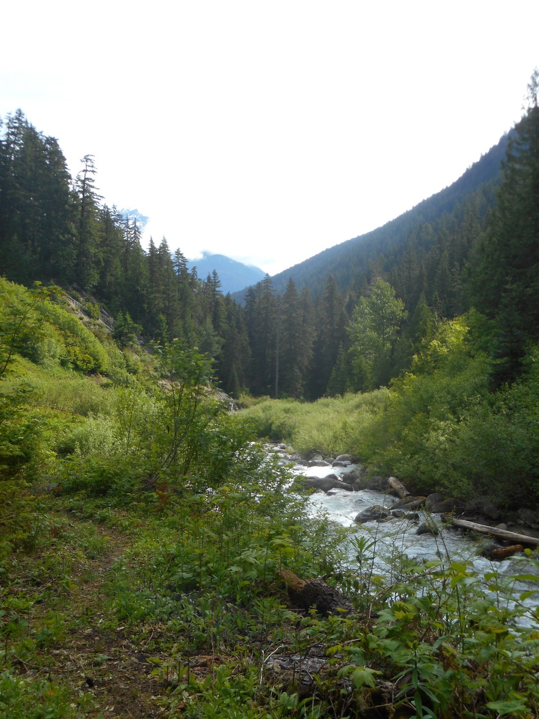 Photo by fiddlehead
This trail highlights everything good about following a river as you hike Panther Creek Trail. I was surprised by the roar and then the tranquility of the creek as you walked further down the trail. Most importantly, this trail can be a full 11.5-mile roundtrip hike or, if you have time, you can walk along the trail and find a spot to take a dip.
WTA Pro Tip: Bring lots of water, snack, sun protection (hat and sunscreen) and don’t forget to take in the views
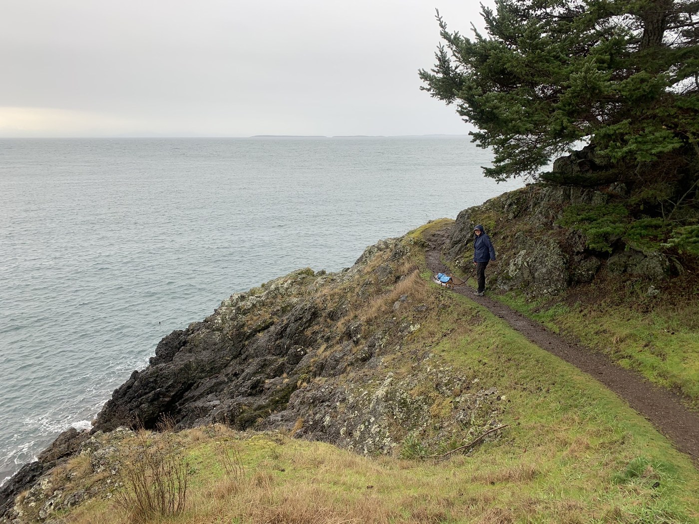
If you ever get the chance to visit any of the islands off Washington's coast, San Juan Island is a great option. Lime Kiln State Park has a welcoming parking lot and clear signs to hiking trails. The trail system can take you on several round trips where you can visit a whale watching site next to the Haro Strait, Lime Kiln Lighthouse, and see remnants of a large kiln alongside a bluff.
The interpretive center at Lime Kiln State Park really stands out. It provides a real time experience of hearing the various whale sounds recorded by scientists at the park, and it also housed a bench with a spectacular view of the ocean. The park also has a mix of higher ground where you can explore through the madronas and cedars.
WTA Pro Tip: Bring binoculars!
Your Questions, Answered
There were so many great questions during Hike the State 2026, and we didn't have time to answer all of them. Here are a few we heard from several folks, along with our answers and links to WTA resources:
What conditions can we expect after the winter storms, a likely tough fire and smoke season and the World Cup? Any advice about making back up plans?
- Have a few trailheads in mind for day hikes. The Hike Finder Map or Trailblazer app can help with that. It will help to have a second location in mind if the parking lot is full or trail conditions are gnarly.
- Consider planning two pretty different locations if you want to plan something like a backpacking trip during smoke season. For example, for one weekend, plan one idea for the South Cascades and one for the Olympics, and choose which destination has the best outlook a few days before you leave.
- For the World Cup, consider using transit-friendly hiking to manage trailhead congestion or choose a destination farther away than most casual visitors might visit. If you find yourself on the trail with soccer fans, embrace the good vibes and show visitors how we do things here in Washington.
With all the uncertainty about trail conditions and trailhead services this summer, how should I prepare differently?
With the crisis of staffing land managers are facing, you might see trails, bathrooms or roads that are less maintained than you’re used to. Also remember that emergency services may have longer response times, so it's important to hike well within your limits. This is a year to be extra prepared (pack the Ten Essentials, yes, all of them). You should have a backup plan in case the trail you want to hike is inaccessible or the parking lot is full.
You can also help by picking up trash you find on trail, and packing it all the way home with you. And remember that land managers are doing their absolute best to maintain trails and facilities while dealing with the challenges of reduced resources. Show respect and patience for the folks who work to protect our public lands, and help them out by being extra prepared on your visits.
How do I know what pass or permit is needed for a particular trail?
Each Hiking Guide entry indicates what pass is needed to park at the trailhead, or if necessary, to camp in the area. You'll find it just above the photo for the hike, next to the heading "Parking Pass/Entry Fee". These passes and permits are determined by who manages the land you will be hiking on. To understand more about what is needed for different trails, WTA's passes and permits page explains the ins and outs of permits, including seasonal changes, costs and why permits exist.
This summer, you will be able to buy a pass at some Forest Service trailheads using Scan and Pay. Learn more about this system here.
How can I find groups of people to go hiking with?
WTA has a resource page with links to a plethora of hiking groups around the state.
How can I access trail information when I’m out of service?
Once you have a WTA account and you are logged into it on the Trailblazer app on your phone, you’ll automatically have offline access to all the hikes you have saved in My Backpack.
Mount Rainier, Lake Chelan & Mount St. Helens:
There’s a lot going on at some iconic landscapes in Washington this summer. WTA has the download on the latest for a few places with some extra considerations. For more, sign up for our monthly Trail News email:
I want to hike with my dog. any tips?
Our top tips:
- Learn where dogs are allowed to hike with you.
- Keep your dog (and wildlife) safe by using a leash.
- Pick up and carry their waste out with you. (An old Tupperware or yogurt container is handy to prevent squish and smell.)
Raising a well-behaved hiking pup can be a challenging yet deeply rewarding process, and we want to help make it as easy (and fun!) as possible. From choosing dog-friendly hikes to keeping your four-legged buddy safe, we have more tips to help prepare you and your pup for a great time on trail.
What should I know about encountering wildlife on my adventures?
It is very common to have concerns about running into animals, large and small, while out hiking. Please keep in mind that a lot of behaviors that help keep humans safe are also important because they keep wildlife safe and protected, like staying on trail, not approaching or feeding wildlife (no matter how cute or friendly they are) and properly storing food, including packing out the waste from all the food you pack in, including pistachio shells, banana or orange peels, sunflower seeds, etc.
For more specific tips on hiking with various wildlife, check out the following guides to build up your knowledge: