Trip Report
Ice Creek - Ice Lakes, Entiat River — Friday, Aug. 3, 2007
 Central Cascades > Entiat Mountains/Lake Chelan

This is the summer I finally took a chance on exploring the Entiat river area of Glacier Peaks wilderness. Having driven state route 97A between Wenatchee and Lake Chelan many times, I'd assumed the Entiat trails would be treeless scorching death marches. The trailhead for the Entiat river trail is 38 miles up the river from the highway, and it looks nothing like the area around the town of Entiat.
I brought along wonder mutt Yeti for company, and hiked in 6 miles to a campsite on the edge of the Snowbrushy meadow after the long drive from the west side of the pass. The trailhead parking area was blanketed by flies. The trail is open to stock, and there were many horse trailers in the parking lot when I returned on the weekend. It's a better idea to park at the Cottonwood campground 1/4 mile before the trailhead or at least stop there to prepare gear so no time is wasted in the trailhead parking area. The Entiat river trail has been cleared of blowdowns and is in great shape. The water crossings are ankle deep or less.
The river valley is teaming with deer. Yeti kept me on alert all night with his growling at the deer passing through the meadow. The next day, we continued up the Entiat river trail to the junction with the Ice Creek trail. There's no bridge crossing, but a jumble of downed trees can be crawled over if you insist on keeping your feet dry. Yeti wasn't having any of that sketchy crossing, so we went another 50 yards up river to the stock ford and waded across in knee deep water.
The Ice creek trail hasn't been worked on by a trail crew anytime recently. Perhaps it's been several years. Dozens of snags from a fire have fallen onto the trail in the first two miles. Then several areas of dozens of trees have been blown onto the trail by avalanches coming off the peaks to the north. Expect slow going here. I let Yeti off leash to find his own way through the jungles of blow downs while I mostly tried to go over the top.
We found both crossings of Ice Creek to be only shin deep, and not unusually cold, but finding the trail again on the opposite side of the upper crossing is not obvious. Head upstream 15-20 yards in the creek bead to find the trail. We lost the trail again in the meadow above the creek. After stumbling around following game trails for a few minutes we found it again.
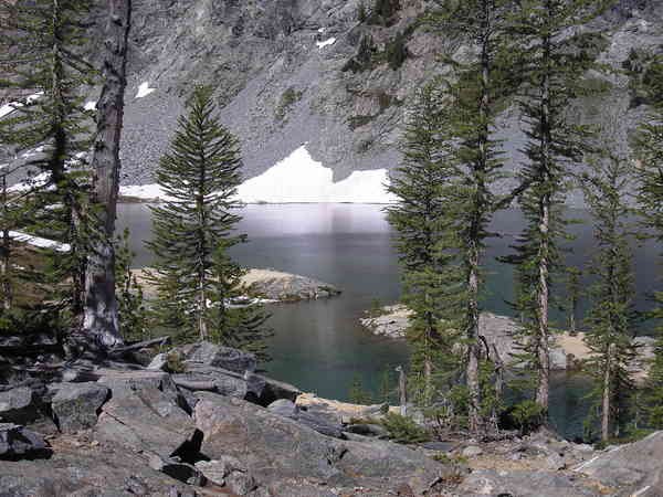
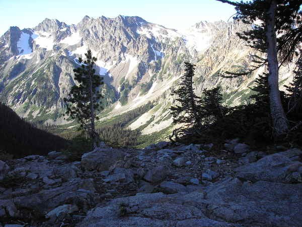
The campsite at the end of the ""maintained"" Ice Creek trail is at the head of the valley within earshot of the falls from the upper lake. Now the real work begins. It's 1300 feet of elevation gain in about a mile. Much of that gain is in the last two hundred yards. It's silly steep. There are easier trails to high alpine lakes, but this one is beautiful. To catch a sunrise down the valley, we set up camp on the ridge top above lower Ice Lake rather than dropping down into the lake basin . We didn't expect the winds to gust all night, blowing dirt through camp. At least the wind kept Yeti from hearing the deer that wandered through, and minimized the bugs. The water is nearly ice cold. There are still snow patches melting into lower Ice Lake. I stood in the lake and splashed water on myself, but I couldn't see diving in.
On the return trip we camped at the Ice Creek trail junction with the Entiat river. There are camps on both sides of the river. The parking area was popular when we returned on Saturday. Most of the people I encountered were headed for the closest destination, Myrtle Lake.


Comments