
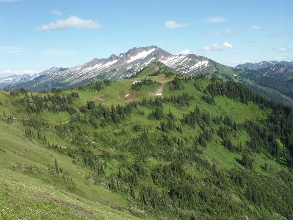
I did a quick blitz (well, not so quick really ... took 10 hours for the round trip) hike up trail 649 (North Fk Sauk Trail) and 2000 (PCT) to Red Pass to check out trail conditions. I met several backpackers coming down the trail with tales of cold rain and snow and being 'stuck in tent for 15 hours', but the weather for my trip was wonderful.
Total trip distance is 19.8 miles. Elevation gain is 4,400 feet. Calories burned, 4300. Green Trails map #112 (Glacier Peak).
The trip starts at Sloan Creek CG and you have to get there via the Mt Loop Highway thru Darrington.
The trail is generally in very good condition all the way to Red Pass. No snow to speak of anywhere, no washouts, no blowdowns, just a little mud due to a little water on trail here and there. The trail has been brushed ALMOST to Mackinaw Shelter (5 miles). But there are a couple of places near Mackinaw Shelter where the trail desperately needs brushing.
There is no good log crossing of Red Creek (4 miles) but fording is easy.
The washout that occured a couple of years ago (about 1 mile from trail head) has been completely repaired in impressive fashion. Beautiful.
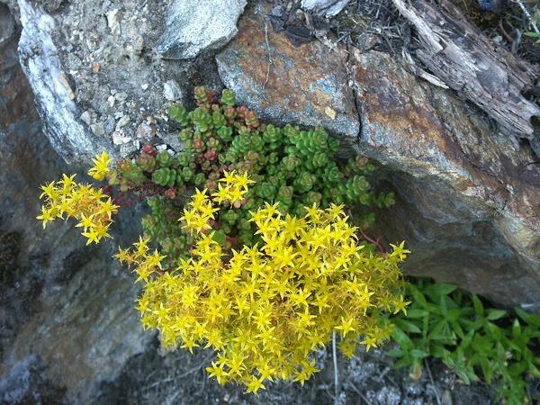
Lupin, Columbine, Tiger Lily and Paintbrush are out in profusion. A couple types of Penstemon, some Phlox, occasional Elephanthead and 1 gorgeous Stonecrop also to be seen. I noticed one isolated heather patch just beginning to bloom.
Glacier Basin (north side of Red Pass) is about 75% melted out.
Comments