UPDATE: I referenced the granite landscape of this hike being reminiscent of the Sierra Nevada. The best hike I can think of in WA for that kind of experience is Robin Lakes, with its steep granite slabs as you approach the lake, and maybe around Kangaroo Pass (others?). For interest, attached two videos (one packraft, one hike) from the Sierra Desolation Wilderness this past week that show hiking through a granite wonderland... very different experience although our peaks are much prettier. Until the sunshine comes back next week ;)
Bottom Line:
Explored the Teanaway Community Forest first around Cheese, Bible and Mushroom rocks; surreal landscape of sandstone monoliths that reminded me of the Sierra Nevada mountains; too much snow to make it farther up the road to Mammoth and Exclamation Rocks, but it turns out that the TCF is asking hikers to refrain from those pending further trail development; right now, these are apparently *not* accessible from West Teanaway Road without private property issues; explored North Teanaway up to the point where the road becomes impassible near Beverly; Esmeralda trailhead still has ~5 feet of snow accounting to backcountry skiers hitting Long's Peak yesterday; North Teanaway meadows are green and beautiful with flowers just beginning to bloom - mainly early bloomers like avalanche lillies and lanceleaf springbeauty
Stats:
- Distance: ~4 miles
- Duration: 3 hours
- Weather: Mostly sunny but cool, 40Fs (felt warmer in the sunshine), a few sprinkles of rain and hail, distance rain/snow squalls over Mt Stuart and the Enchantments, limiting views a bit, but beautiful nevertheless
- Road/Parking: The access to Cheese, Bible and Mushroom rock trails is at the paved end of the Westfork Teanaway road; many parking spots; Discover Pass required; a dirt road continues but becomes quickly snowed in; the Northfork Teanaway is fairly clear to less than a mile from Beverly, but there are cool sections on the road near the river with deep snow and ruts; eventually my Outback clearance was insufficient; of course lots of pull outs to explore the meadows and river
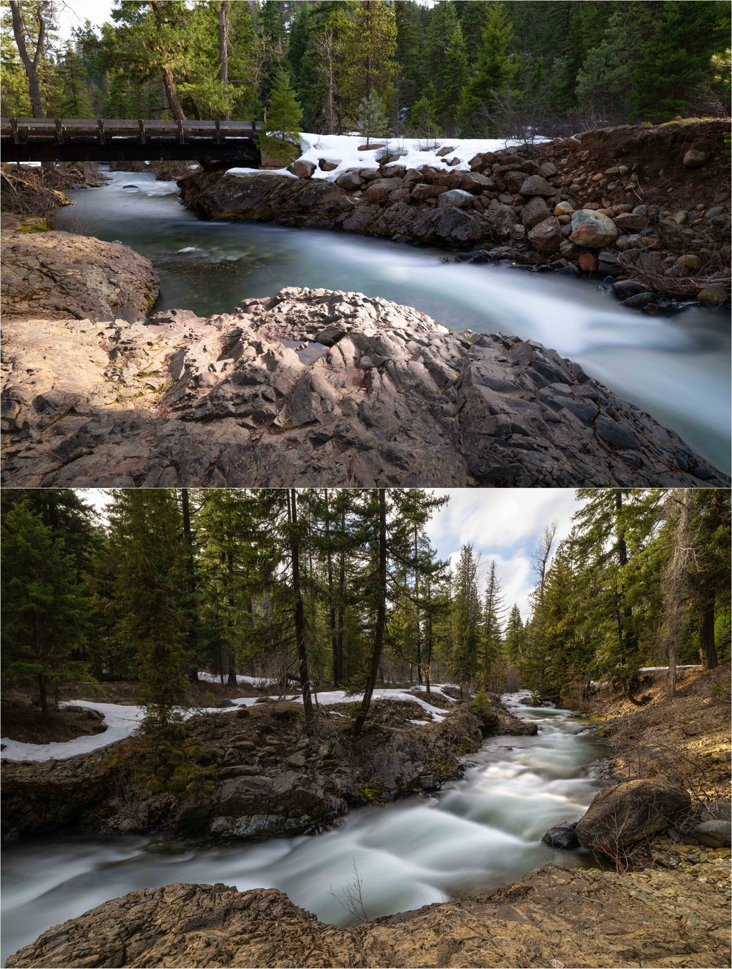
- Trail: The TCF is continuing to work on the trail system. Right now, the trails are not signed, so it is important to download a map in advance (spotty cell service) and come equipped with GPS. There is "short cut" trail to Cheese Rock via a new foot bridge off to the left right after crossing the Westfork Teanaway. This approach requires that one climb a steep but spectacular rock slab that is a like a piece of the ascent to Robin Lakes (see pics). IMHO, this ascent is much more interesting than Cheese Rock itself! From the top, you can descend on the fire road and form a loop back to the trailhead, with a spur trail out to Bible Rock. The views are great - mountains out to Mt Stuart, Ponderosa Pine, and lime-green moss. On the Northfork Teanaway, we pulled out and explored meadows and the river - green and beautiful with blooming flowers!
- Takeaway: Lots of exploring opportunities while we wait for snow to melt at higher elevations; while it was raining on the west side, it was sunny by Cle Elum, which is fairly typical in the spring; the rock features in the TCF, which pre-date the Cascades themselves, are unique and beautiful - good payoff for an otherwise densely forested area


Comments
Thanks for sharing your trip report and beautiful images!
Posted by:
Washington Trails Association on Apr 10, 2024 12:49 PM
Is it just me? The ability to vote "Helpful" for my fellow trip reporters has disappeared...
Posted by:
Alpine Wanderer on Apr 10, 2024 09:22 PM
Looks like you have to be logged in to vote a trip report "helpful" now.
Posted by:
glucas on Apr 15, 2024 04:57 PM