Willaby Creek trail is an offshoot from the Quinault Rain Forest Nature Trail. Park at the trailhead for the Rain Forest Nature Trail on the South Shore Drive at Lake Quinault. There is a privy here (sometimes closed) and you have the advantage of hiking the Rail Forest Trail as part of this hike. You need an Olympic National Park or America the Beautiful pass to park at the trail head.
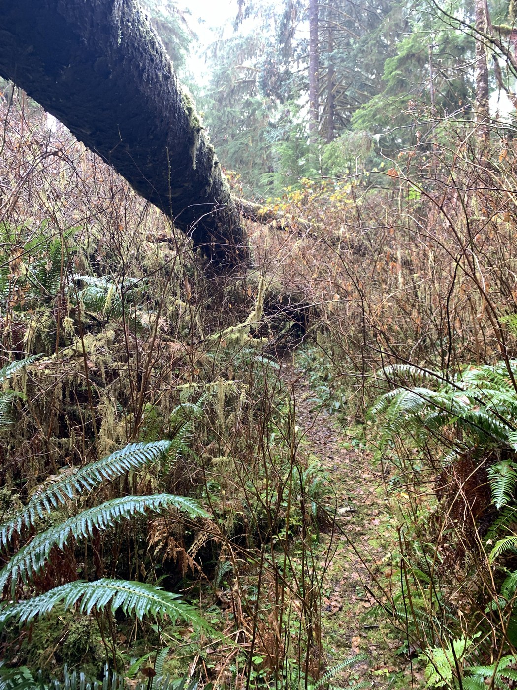
I noted on the WTA site that the trail was overgrown and there was a large log blocking the trail, but that did not deter me from trying this hike. It was a backup option for me when the South Shore Drive was blocked by a large tree farther down the road and I couldn’t get to my original planned hike. I hiked this trail in early November and saw a few people on the Rain Forest Trail, but no one ventured on the Willaby trail.
The Rain Forest Trail is a beautiful gravel trail with lots of big, tall fir and cedar trees. There are interpretive signs along the way and the trail is fairly wide, though covered with leaves when I visited. In some places roots take over the trail. There were benches to take a seat and enjoy the views. Lots of fungi on large downed trees and views of the creek. After passing a closed trailhead, crossing a bridge, and getting a peak of blue sky, I found the trailhead to Willaby Creek.
Yes, the trail is overgrown in parts, but you can still follow the trail. Lots of fungi on the side of trails and downed logs adorned the trail. Also, beautiful, big trees abound. Though the trail is overgrown, the real problem is all the downed trees. Not just the one mentioned on the WTA site, but the next 10-12+ that you have to cross over or the pixie sticks you have to crawl under (ugh!) to hike this trail. There is a boardwalk in some places, but I couldn’t manage to not get my feet wet. I was not sure how much farther it would be to get to the big cedar, so I ventured on. In one place, there are steps leading up to a log crossing… That is blocked by another downed tree. There were places where it was not easy to cross a log and you had to go off trail to find a place to cross.
Based on what I read previously and saw on the signage, it was 1.3 miles from trailhead to the creek and then I would have to ford the creek to hike another approximately .5 mile to the cedar. I got to a point where I wasn’t sure I could get back over one of the downed trees, so I called it good and headed back. I suspect I was about a mile in and it was taking me an extraordinarily long time to hike the trail. Also, the rain was starting to make it tough to get a grip on the trees I was crawling over.
I’m surprised this trail is not closed with all the downed trees. I would caution anyone hiking this trail to make sure you are confident in your skills. You don’t have much in the way of a cell signal on this trail even though you are not far from town.


Comments