SHEDROOF DIVIDE TO MANKATO MOUNTAIN
We hiked the south part of the Shedroof Divide trial on a sunny and warm Columbus/Indigenuous Peoples Day. The 7-mile out-and-back route to Mankato Mountain is described in Day Hiking Eastern Washington by Rich Landers and Craig Romano (2013, The Mountaineers Books). The WTA Hiking Guide includes the Shedroof Divide trail as a backpacking trail (22 miles), but does not describe this shorter, day-hiking option. Perhaps that is because the hike up Mankato Mountain is not an official trail. In fact, there isn’t even an obvious use trail where the route leaves the main Divide trail. It seems that not many hikers choose this option, but we were glad we did.
GETTING THERE
Sullivan Lake Road and FR 22 are in good shape and suitable for all vehicles. The trailhead itself is easy to miss. If you start descending the pass, you have gone too far. There is a pullout with room for about three cars at the top of the pass and the trailhead is about 50 feet west of there. The trail begins as a narrow side-cut across a dirt road embankment on the north side of the road. There is no trail sign, although a broken post lying by the side of the road suggests that there may have been one in the past. The trail information sign and sign-in register are at the top of the road-cut, just around the first corner of the trail. The information sign warned us to expect bears in the area, so we carried bear spray and bear bells.
ON THE TRAIL
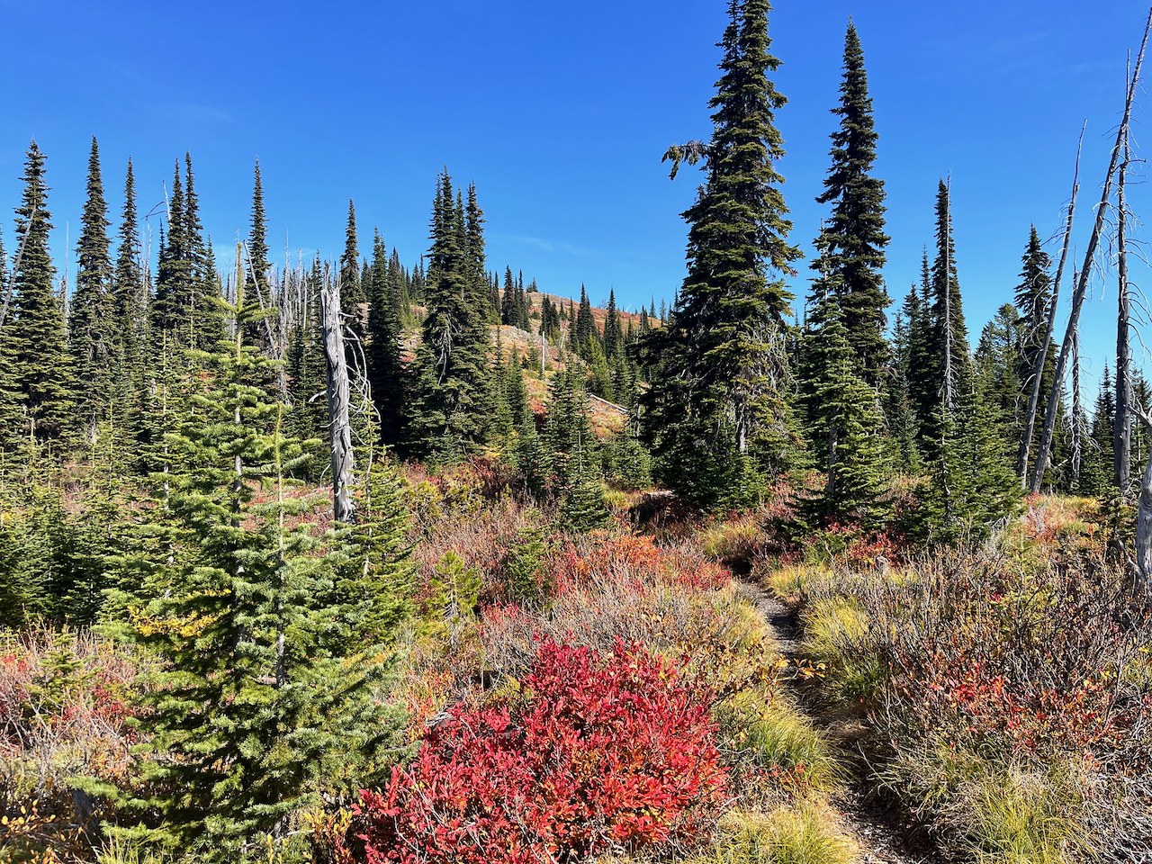
The first part of the trail traverses along steep slopes through an old burn with lovely fall colors and good views to the east. After a brief section through forest, the trail cuts across the open, grassy slope of Round Top with more great views to the east. Most of the rest of the trail goes through forest of spruce, fir and pine. We caught glimpses of views to the east and west through the trees, but the way was less “viewfull” than the description would suggest. The trail goes down and then back up to the ridge, but the grades are gentle and the footbed is good, so we cruised along at a good pace. After about 2.5 miles the trail finally breaks out of the forest onto the more open ridge, with widely-spaced trees and more expansive views (see photo). The autumn colors were lovely, including scattered larches just coming into their golden splendor.
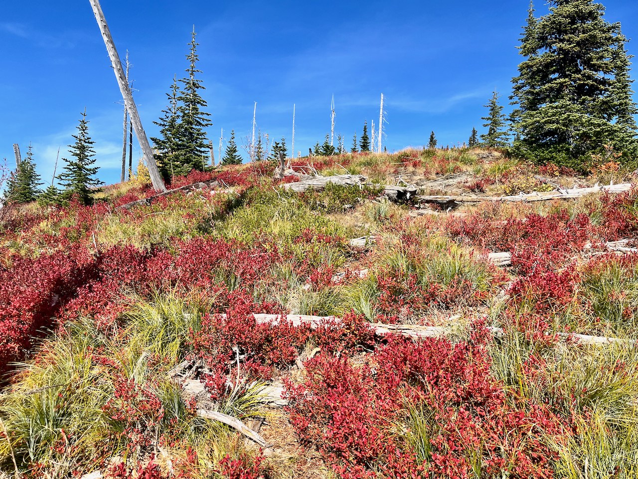
As we approached Mankato Mountain, we looked for a use trail up it’s south-facing flank. The Shedroof Divide trail makes a definite turn to the east and starts descending around the base of the mountain, so it was easy to determine the general area where the trail would be. We scouted all along the route but found no evidence of any use trail intersecting the main trail. Undaunted, we forged our way up through the grassy hummocks, blueberries and other shrubs, climbing over fallen logs as necessary. Part way up we found a faint trail and followed that, but we weren’t sure if it was a people trail or a bear trail. A very large pile a fresh bear scat suggested the latter. We had also seen bear scat on the trail along the ridge, so we knew that at least one bear was in the neighborhood.
We reached the grassy top of Mankato Mountain in about 15 minutes. The 360o views were lovely. We could see Abercrombie and Hooknose Mountains in the west, Gypsy Peak and Snowy Top to the north, the sawtooth heights of the Idaho Selkirks in the east, and the long sweep of Shedroof Divide to the south.
Overall, this short section of the Shedroof Divide trail made a nice, not-too-demanding day hike with a worthy destination. It gives a good sample of this remote corner of Washington State, which sees many fewer visitors than the popular areas of the Cascades. We saw no one else while we were there.


Comments