

I don’t think this used to be possible, but after the incredible snow and ice melt over the last few years, we hiked to the summit of Ruth Mountain in trail runners and did not need to touch the glacier or a single patch of snow the entire way up.
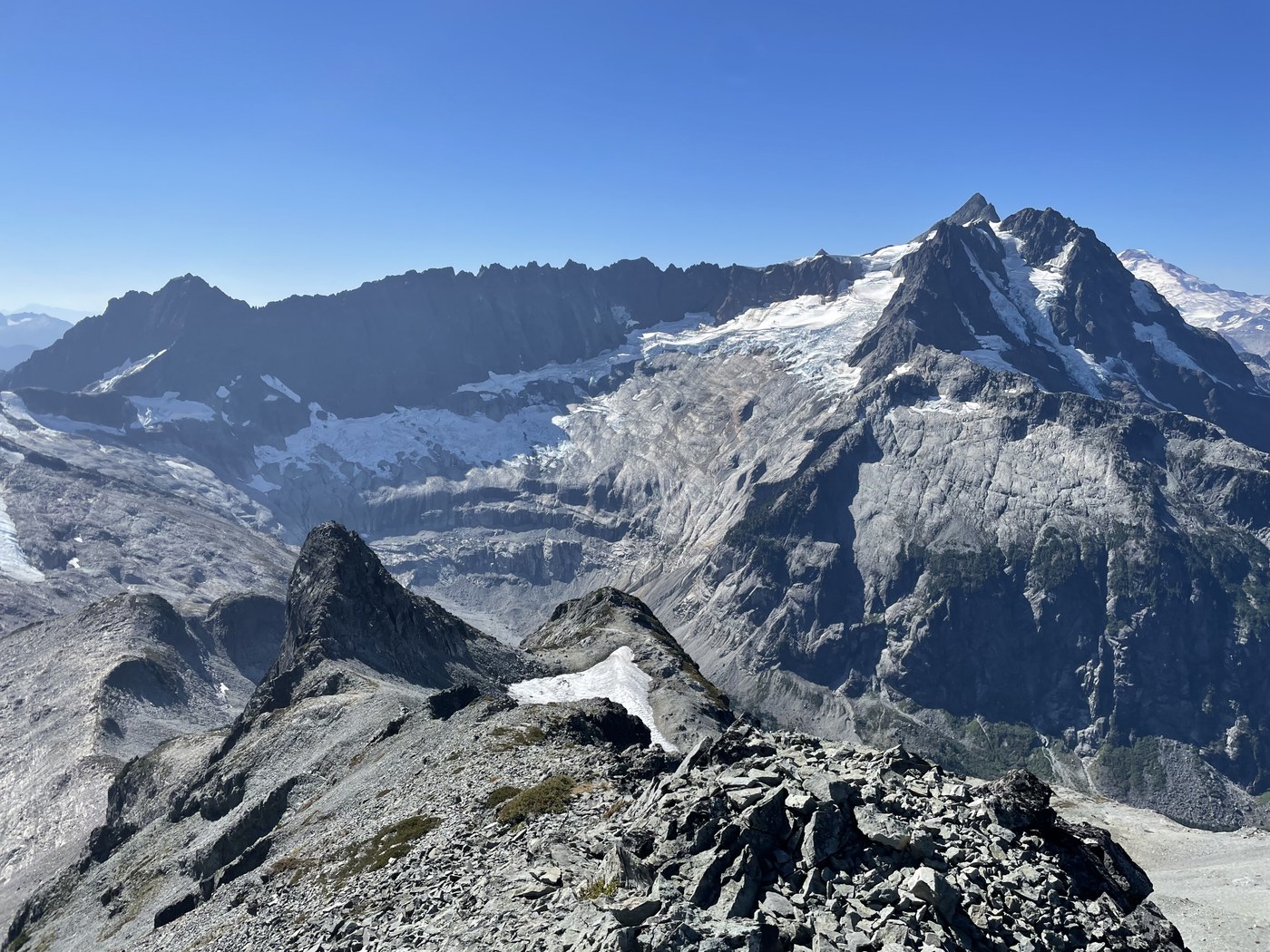
Our trail running group set out from the Hannigan Pass TH with the goal of checking out the terminus of the Ruth glacier. The terminus is well above where we expected it to be and the glacier is clearly in a state of rapid decline. On approach, I noticed that the slopes to the left of the glacier were clear of ice as far up as I could see, so after checking out the glacier on the right side looking up, I then went around the left side of the glacier (an easy hop over the stream) and then up the rocks where the glacier used to be. I figured I would hit a snowfield eventually but I never did. It was quick to climb up along the glacier which was mostly bare rock with minimal scree. Below the NE peak I traversed left and up onto the ridge below the summit. There are probably several ways to get up there. The way I chose involved a brief scramble and a bit of exposure on the ridge but nothing too terrible, even for a trail runner like myself who isn’t much of a climber. After getting up on the ridge, the NE peak is right there and one can follow the ridge directly up to the summit of Ruth (see the picture).
The calendar says mid-September but it was 70 degrees with a light wind at the top so I spent a fair bit of time enjoying the view and taking pictures. On the way down I was happy to have my GPS track because all of the rocks look the same and it would have been easy to choose a trickier way down. After hearing how easy it was to climb Ruth, several others in my group successfully summited as well.

Comments