Just wanted to post this in response to the last trip report, I had no issue finding the trail head. I definitely recommend using GAIA or something comparable, Google or Apple
maps won’t get you there. Go up Wynoochee Valley Rd then hang a right on FS 2372, it takes you right to the west trailhead. The road was passable, but there are some big dips in the road that might be difficult for a lower clearance vehicle. My CRV did fine, so definitely don’t need an off road vehicle to get up there though.
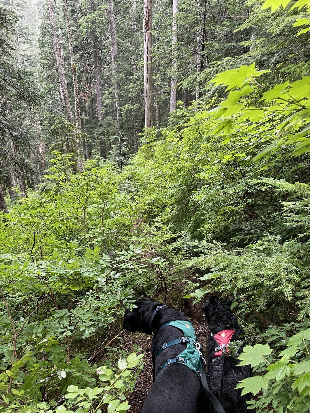
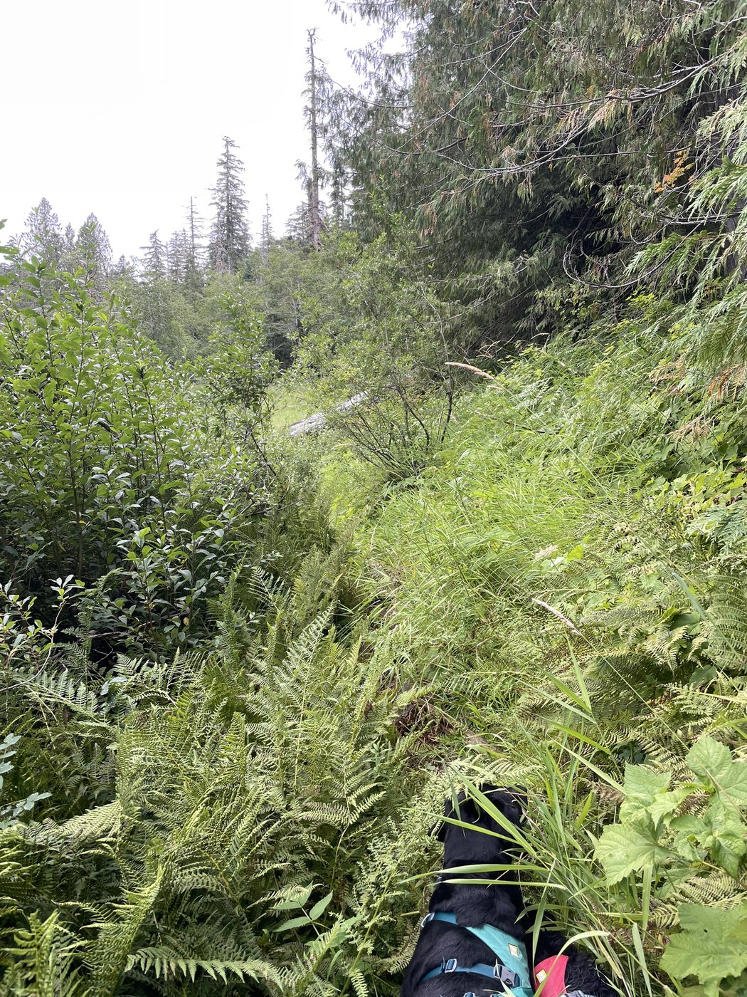
The trail itself needs some TLC (see pics). The trail around the lake is almost overgrown, and up at the top of the ridge the trail is still passable but quickly getting to the point where it won’t be. My dogs and I did a little over 4 miles, up to the top of the ridge and back. Outside of passing a granddad teaching his grandson how to fish at Satsop Lake, we had the trail to ourselves. Lots of solitude, lots of big cedar and fir trees that haven’t been touched in probably a century or more. If you’re into big views, this may not be the trail for you, but if you want to have some time alone in the forest, it ain’t too shabby.


Comments