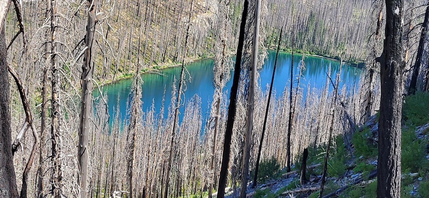
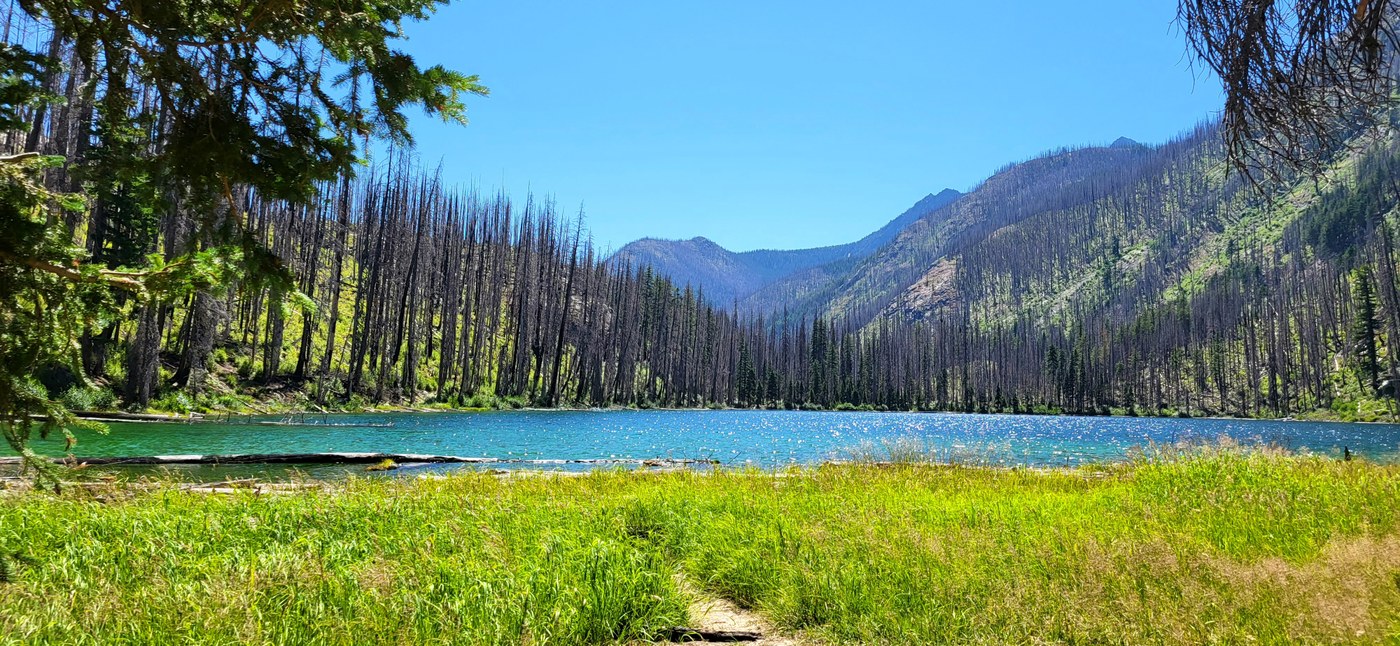
First of all, the hike to Cow Creek Meadows is NOT 3500 ft of elevation gain, it is closer to 2000 ft gain given occasional brief descents. Gaia showed me 3180 ft elevation at trailhead (3750 ft at Myrtle Lake)and 5100 ft at Cow Creek Meadows. If you were to continue on the Cow Creek trail up the side of the mountain up to the ridge, that would get you to 3500 ft.
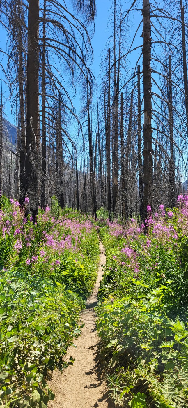
Since the 2015 fire, this hike is 98 percent full sun, so highly recommend a partially cloudy day if hot out. Brush and small trees are returning, primarily at lower elevations, but may be a couple decades until shade returns. Myrtle Lake and Cow Creek Meadows do not disappoint. I was shocked that I did not even need to apply bug spray, as both locations or notorious for long mosquito season. Did encounter some biting flies when taking breaks up to Cow Creek trail. I counted four downed trees along the trail, three of them above Myrtle Lake. WTA crews did a wonderful job rebuilding Cow Creek trail a couple years back.
If you own a mountain bike, I highly recommend biking the first 3.5 miles to the turn-off to Myrtle lake. Not just because of this is a gentle sloping beginning mountain bike trail that cuts the time up to the lake in half, but because of the 20 minutes of bliss it takes to complete the last 3.5 miles returning after the long slog through the burned out forest.
In all, I was on the trail 6 hours with breaks, lunch, etc. Add a 2-3 more hours if not bike/hike. Only souls I saw on the trail was a group of backpackers setting up at Myrtle lake upon my return. Only two other small groups were registered at trailhead on being in the upper Entiat Valley trail system when I arrived. Road is in wonderful shape, all cars make it easily.


Comments
Logankelly on Cow Creek Meadows, Myrtle Lake
Hi @mukhiker, was there a bridge to cross the river to reach Myrtle lake?
Posted by:
Logankelly on Aug 28, 2023 02:27 PM
Bridge
Yes, big beautiful bridge. Rebuilt just a few years back from 2015 fire damage.
Posted by:
MukHiker on Sep 01, 2023 07:44 PM