The Loowit Trail is an incredible and challenging trek, but well worth the effort!
Road conditions: Paved all the way to the trailhead, but watch for patches where it is sinking. Google took me on FR26 from south of Randle instead of taking FR25 all the way to FR99, which is much better (26 is one-lane and a little overgrown in some spots; 25 to 99 is much better and double-wide).
Snow: There are two patches on the SW flank of the mountain near the Butte Camp Trail junction, and while annoying to cross, neither posed a challenge.
Wildflowers: Incredible, and expect full bloom in maybe a week. The paintbrush was particularly vivid.
Water: I carried 3.5 liters to start each day in order to make it to camp where I knew there was reliable and silt-free water at Lake June and the South Fork Toutle River. There is a spring between the Loowit Falls Trail and Windy Trail on the Loowit Trail with clean, reliable water as well, and a creek in the Plains of Abraham that was fine. Other sources were dry or silty.
Campsites: There were several sites available at Lake June and the South Fork Toutle River (make sure to look south of the trail in the trees in addition to the top of the gully on the north side of the trail). Most other campsites were dry with the exception of in the Plains of Abraham just near Pumice Butte.
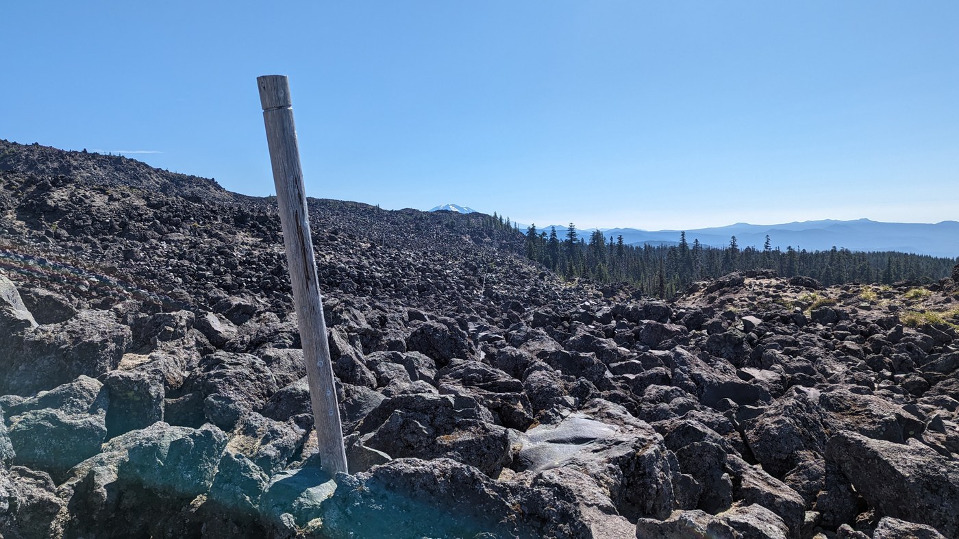
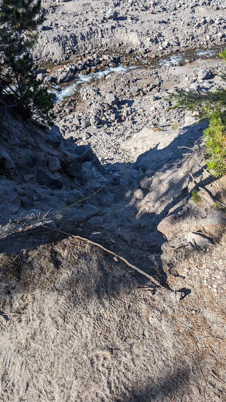
Trail conditions: This was an amazing hike, and I'm so glad I took it in three days to appreciate it, and to not wreak havoc on my feet! The trail varies between good tread on dirt to loose pumice and sand to stepping over and around large lava rocks. Navigation was fairly obvious by following cairns and large wooden posts or plastic poles, but very slow going in the lava flows. Trail runners were fine in these sections, but good tread is necessary. Also, I included a picture below of the sketchier of two gully crossings that require the use of a rope to climb/descend (the first is on the Blue Lake Wash which has about a 20-foot drop/climb on each side; the one pictured below is on the north side of the South Fork Toutle River). I'm grateful to have taken the trail clockwise, which I think made these two gully crossings easier. Clockwise also meant an 800-foot climb out of the South Fork Toutle River rather than 1,700 feet, and gave incredible views on the Sasquatch Steps towards Loowit Falls rather than having that at my back. Approaching from the Windy Ridge Trailhead was spectacular, and finishing on day three by crossing The Breach was an amazing grand finale. What a trip!


Comments