This is a bit of a delayed report, but better late than never I suppose.
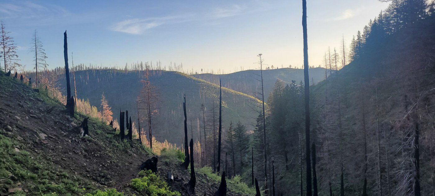
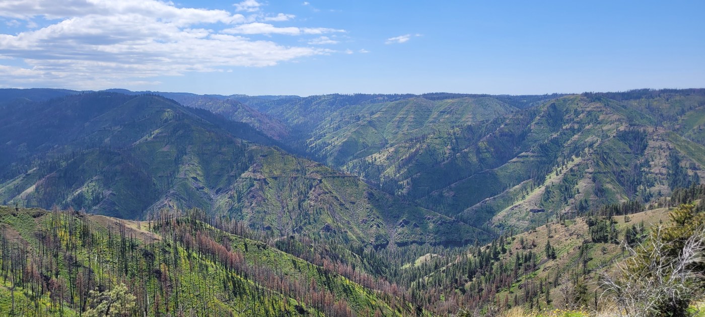
I had planned on taking the Panjab trail to Crooked Creek to Danger Point to Smooth Ridge to Mt. Misery, back to Panjab. I made it up the Panjab trail to just before the Crooked Creek trail drips down into the woods before making camp on 6/2. The next morning I continued down Crooked Creek, but things were getting increasingly overgrown to the point where I was basically bushwhacking. I got to the point where Gaia says the Danger Point trail was, but didn't see any sign of a trail. I wasn't prepared for that much bushwhacking, so I backtracked up Crooked Creek and took the Rattlesnake trail out to the FS road and back to the Panjab Trailhead. This ended up being much easier hiking even if Rattlesnake was a bit faint in places, since a good chunk of it was through a burn. Some beautiful views too!
Someone with better navigational skills than me probably would have been fine, but I still had about 18 miles to hike and didn't know how much of that would be difficult bushwhacking, so I wimped out and chose to turn around.
Still a great hike - the Panjab trail is in good shape, and the Rattlesnake trail is in OK shape but could use some maintenance. Take the Rattlesnake trail if you want views.
Wildlife - saw two "brown black bears" that weren't very interested in me fortunately. I thought they were grizzly bears at first! Also woke up in the middle of the night to wolves howling, which was pretty cool.
Snow - basically none. There were patches off to the side up high and a small patch in the woods, but I only ran into one *tiny* patch on the trail.


Comments