Since I live east of the Kettle Crest, I'm far more familiar with the east-side feeder trails. This was my first time trying out the Profanity Trail, which is probably among the very shortest of feeder trails to the Kettle Crest.
The access is via the Aeneas Creek Road just north of Malo on Highway 21. The roads here are not well marked, so be sure to study the map before heading up. I did find that I had cell service higher up the hillside, but I found it most helpful to look at the map at home, and I did not have cell service closer to the valley floor.
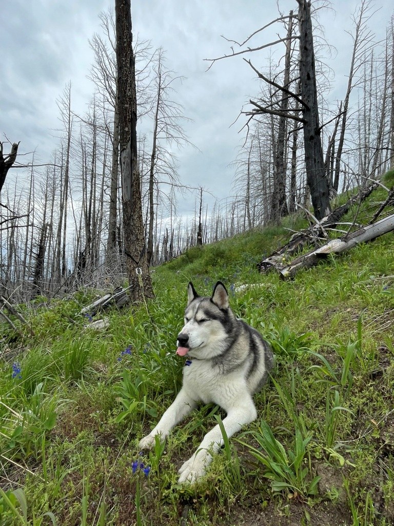
The area was impacted by the 2015 Stickpin Fire, ultimately requiring the Forest Service to move the trailhead after some erosion damage following the fire. Even so, it's only about 1.5 miles from the trailhead to the intersection with the Kettle Crest Trail. The parking area at the TH is very small (basically room for no more than 2 passenger vehicles, with not a lot of space for turning around). I was the only one here during this visit, so I got the premium parking spot! But in the event there are multiple vehicles here at the same time, there are two big wide areas about a half-mile back from the TH.
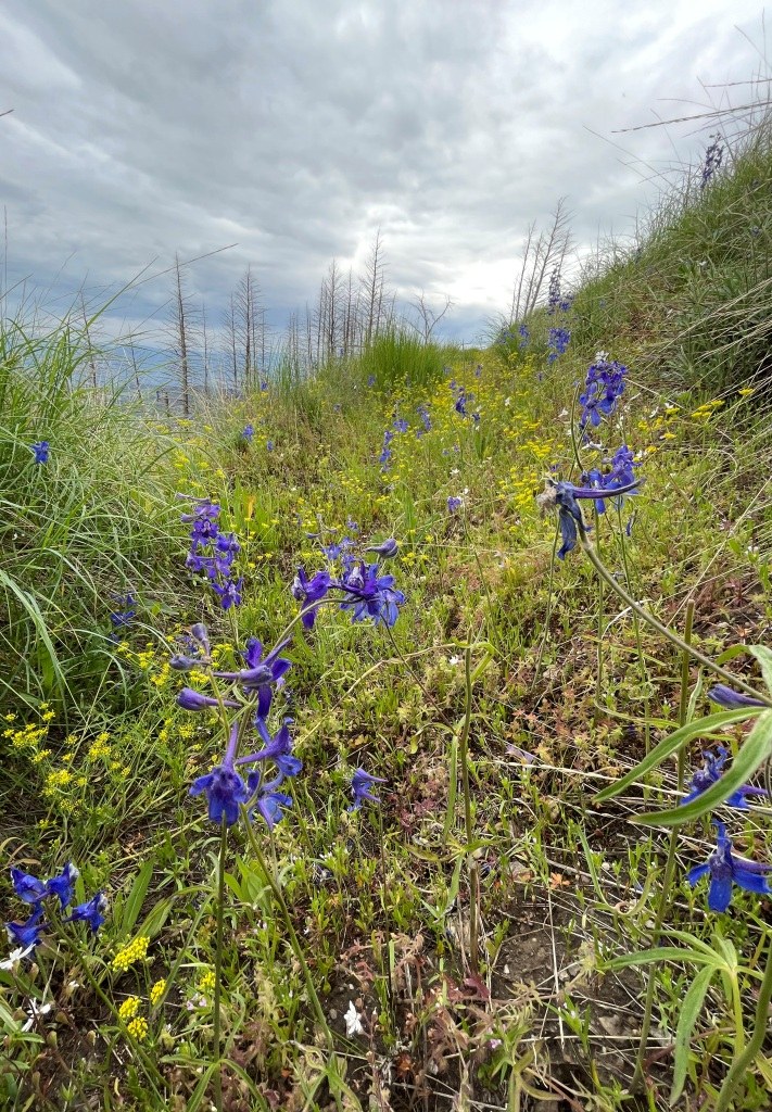
The trail at the bottom was a bit brushy and overgrown but otherwise easy to navigate. There are a few trees down but nothing major or difficult to get around. The trickiest spot is the last half mile at the top of the trail: I was using Gaia and the USGS topo map baselayer to navigate, and it turns out the actual trail location and junction with the Kettle Crest is off by several hundred feet. The trail tread in this section is so overgrown that it's nearly impossible to make out, so I did a lot of back & forth on the hillside to determine the correct path to take. Fortunately I'll be heading back with a crew soon, so hopefully this will just be a temporary report of difficult navigation! I also used some flagging tape to mark the correct path in the meantime. Even then it was not so very difficult, as this section of the trail is through open grassy meadows with widely dispersed trees. When in doubt, bushwhack up and it intersects the better-maintained Kettle Crest. The wildflowers are in full bloom and it's a gorgeous spot to be a bit confused, and once I finally intersected the Kettle Crest that trail was obvious. I also did eventually locate the marked intersection, so there is a trail sign to find the way back down the hill.
My main objective for this visit was just to see it for the first time to plan tool and maintenance needs, but for anyone planning a short hike/backpack to the Kettle Crest, this trail would be the shortest access route to Profanity Peak. There is a small year-round spring near the trail on Profanity (although the cistern and cattle trough have both failed following the fire, which means the water source can be a bit more mucky as animals try to access it).
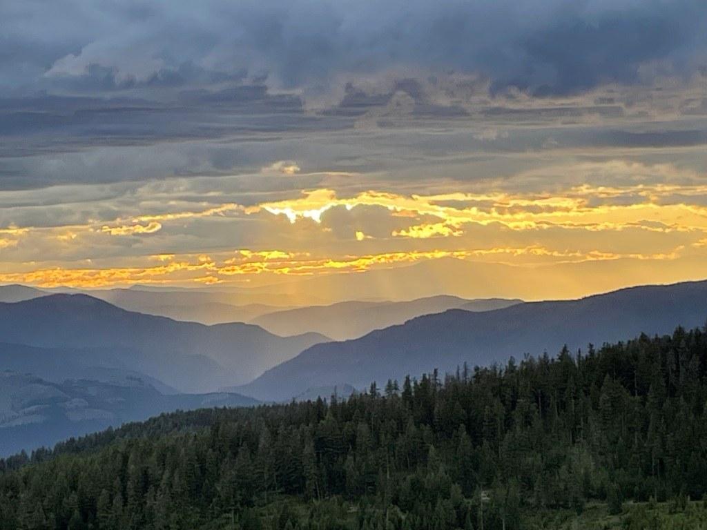
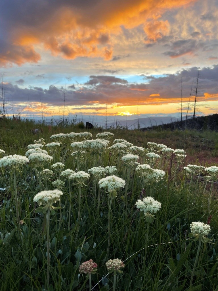
I was just doing a day hike, but planned to camp nearby and meet with friends for a different hike in the area. The wide parking area near the TH would be a fine dispersed campsite, but we opted to go to a point a bit higher on the flank of nearby Tonasket Mountain with outstanding views facing northwest. It was a great place to enjoy sunset! The bugs were a bit worse around the campsite and closer to dusk, although that also brought in several common nighthawks who swooped & dove close by scooping up their evening meal.


Comments