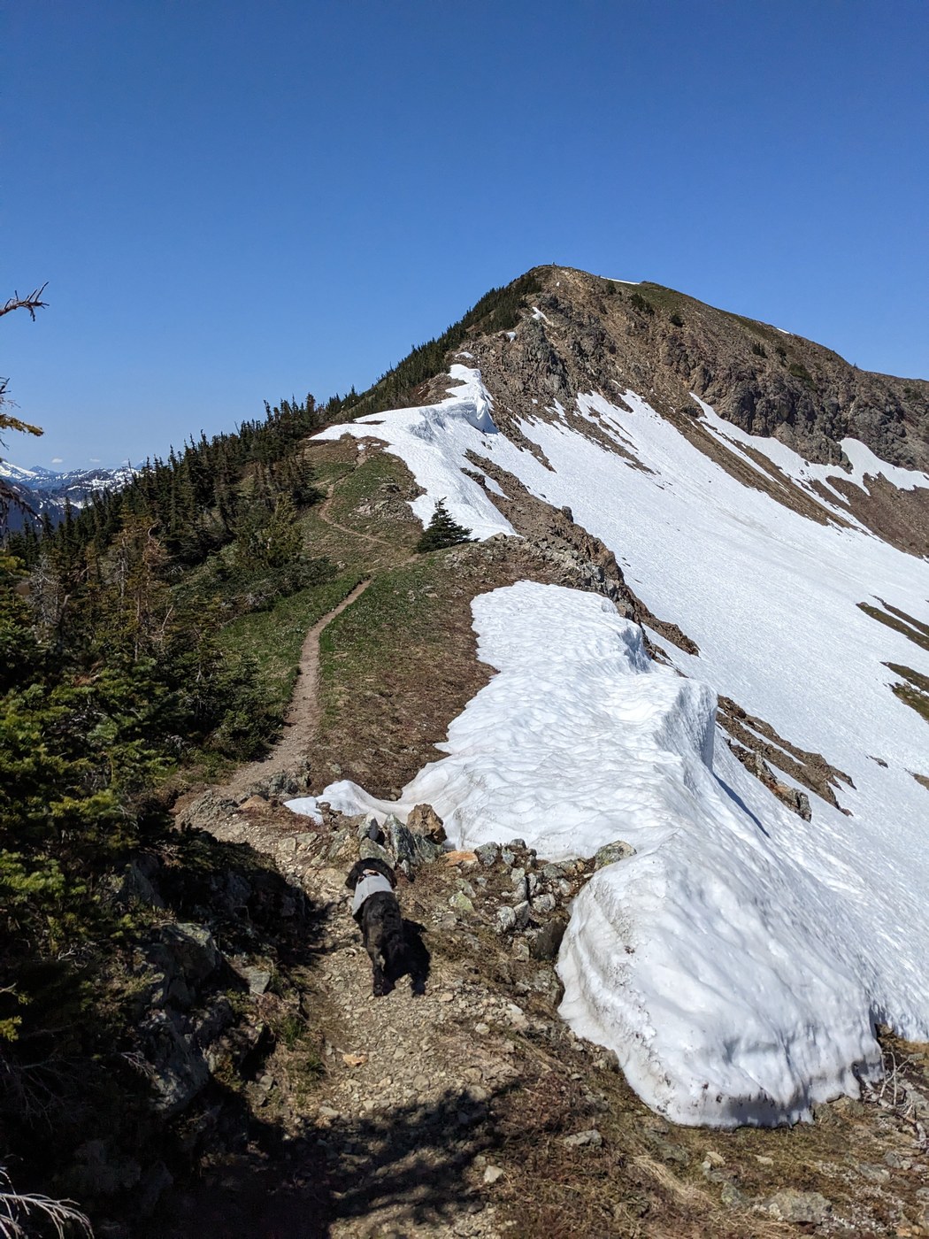
Beautiful hike that feels a bit off the beaten path, even though it is right on the highway. Rough terrain definitely makes you work for this one and the mash potato snow doesn't help. The ridge was snow free, so if you can make it up the snow to get to the false summit, the path to the summit is clear.
Road/Parking: Right on 2, but very rough entry and limited parking. Only room for about 6 vehicles and not much room to maneuver. All the vehicles we saw were SUVs with some clearance. We claimed the second to last spot around 10 on a nice clear Sunday, but it is early season.
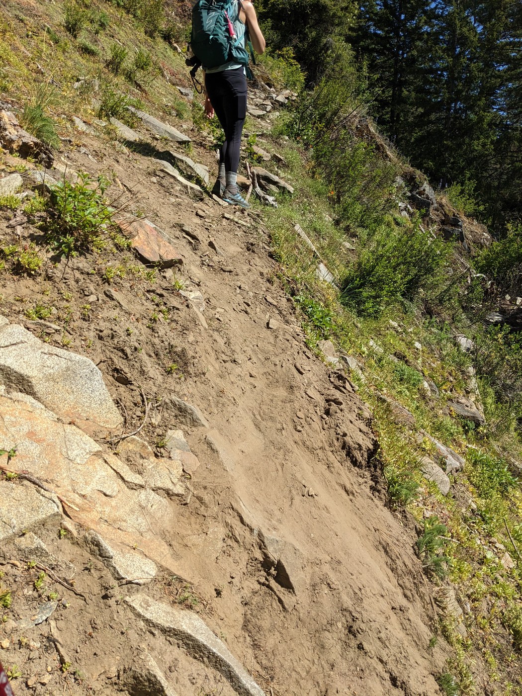
Trail: Starts out with an easy maintenance road, but soon turns into a narrow steep path with a narrow couple sketchy sections where the trail is crumbling around the edge. The trail gets full sun for much of it so it feels hotter than it is. The bugs were vicious, making stopping for breaks less than ideal. Flowers were lovely and there were ton of different kinds.
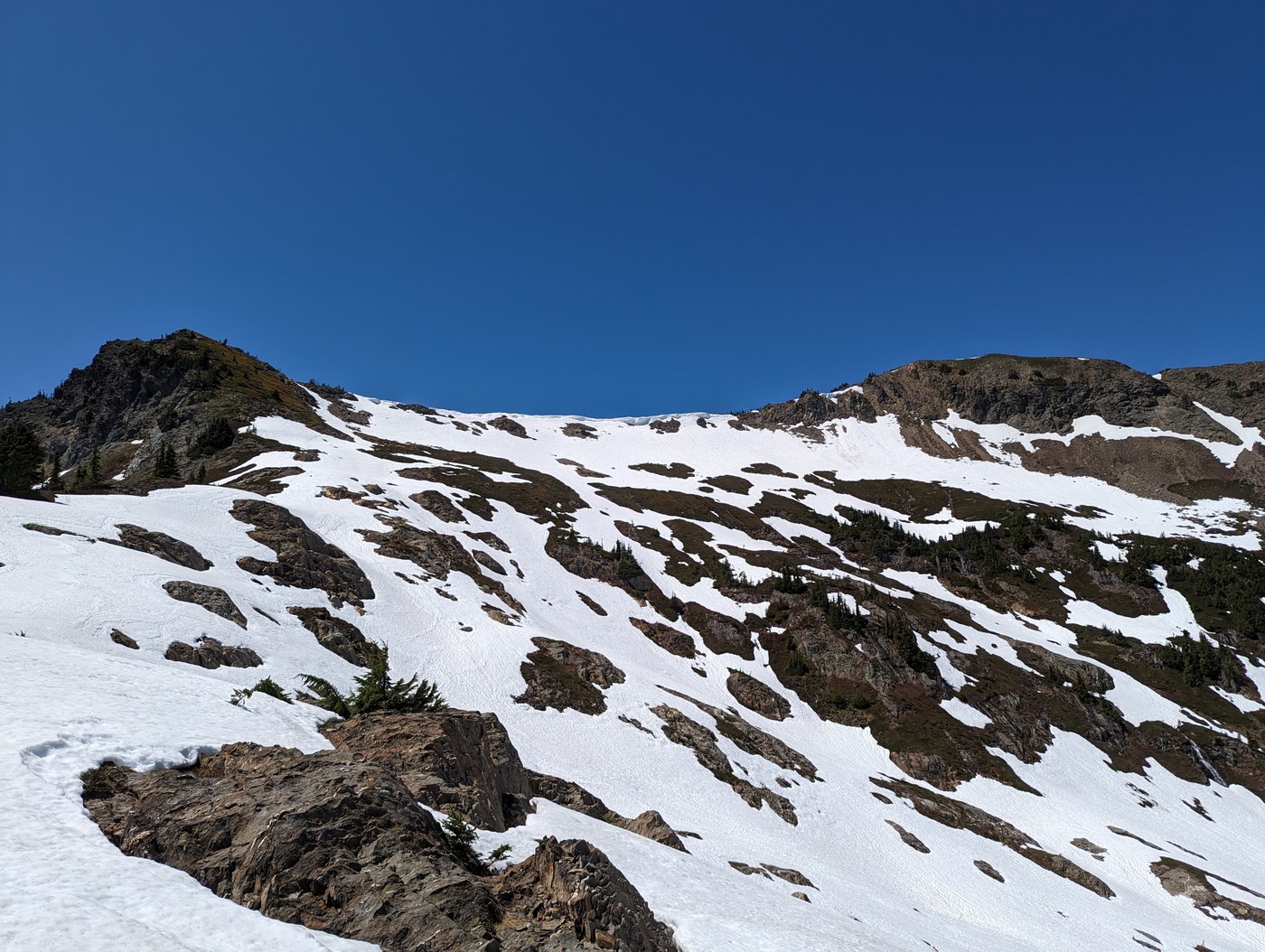
We hit snow about 3 miles in, just past a little lookout where you can see a pretty basin with a waterfall. It comes and goes, but was consistently soft and slick, prime for post holing, although not very deep. My dog thought it was the best, but the rest of us struggled a bit. It was a lit more fun on the way down, when gravity wasn't playing against us. The bugs seemed to leave as it got snowier, yay! The snow made the trail a little tricky to follow at some points.
When you get to the base of the false summit there are some pretty big snow fields to cross. The cornices on the ridge look intimidating, but they are not above the trail. There are a couple spots where slipping would be bad, but it didn't feel too bad with spike and poles. Halfway up the snow turned to bare switchbacks and it was a bit more climbing, but clear from there on. When you make it to the top of the false summit you realize how much higher the true one is. From below they look nearly parallel, but nope.
The summit was stunning, 360 degree views with a great view of Glacier and the lake below with bits of ice floating in it. We even could see a sliver of Rainier, Adams, and Baker peeking out. To me, this felt harder than Mailbox (old trail) and Teneriffe via Kamikaze, but great views throughout.
Stats: We did it in just under 7 hours, with a moving time of 5.4 hours. We clocked 8.4 miles and 4080 ft elevation gain.


Comments