First things first: Do not use Google Maps to find this trailhead. It will take you into the neighborhood but a ridge away. Instead, use the directions provided in the trail description. Not only will they get you there, it will be pavement until the last 3.5 miles or so.
Second things second: Those last 3.5 mile miles are not an easy drive. FSR 2421 is steep, narrow and rocky, with a big drop-off. To increase the degree of difficulty, the FS has installed erosion-control channels (water bars) every 200 meters or so. You cannot maneuver those in a passenger car. They are deep. High-clearance vehicles only. Like 4X4 trucks or jeeps. Also, the 3.1 miles from the turn off FSR 2480 to the trailhead is closer to 3.3 miles.
Third things third: The trailhead is not at the little post marked "Trail." It is about 50 meters further along the road. The start is marked with a nice sign that is nearly covered with rhododendron branches. Parking for maybe four cars in the vicinity of the trailhead.
Fourth things fourth: The trail. Nature has nearly reclaimed it. It is overgrown. It is clogged with blowdowns. Stretches are beginning to erode, including the section where you cross the road at the half-mile mark and begin the assault on the ridge. It is getting dangerously bad there. The trail is doable, but you need some experience and patience and you need to take care. Long pants and log sleeves help.
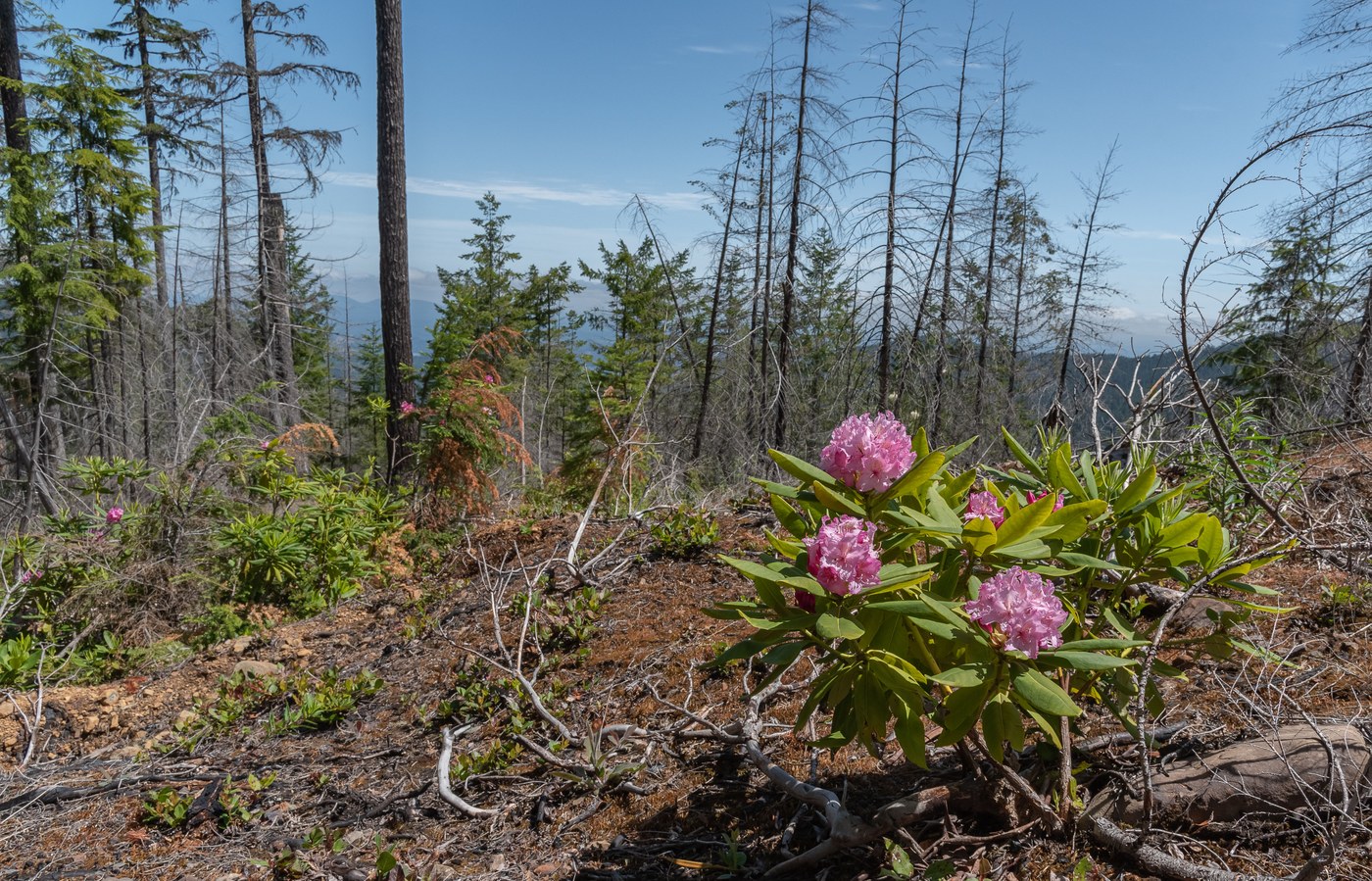
All that said, it is a nice walk in the woods. The rhododendron are blooming, as is the beargrass. There are views of Hood Canal, Rainier way in the distance, Mount Washington and most of the rest of the Olympics, though those mostly are through a screen of trees. The ruins of the lookout are cool in a post-apocalyptic way. Saw a bunch of bear scat on the ridge, which is thrilling in ways both good and bad.
Took the little dog and me about four hours roundtrip, with stops for photos and lunch. I imagine it was a quicker trip when the trail was in better condition.


Comments
nhoj4782 on Jefferson Ridge
This trail is maintained by the Mount Rose Trail Crew. We have not had a good window to get up there to see what remains after the Maple fire burned the hillside a few years back. It is on our list of trails to get to. We know how bad the road is because we have been to the Elk Lake trailhead just below Jefferson Ridge. Give us some time and we will get it re-established.
Posted by:
nhoj4782 on May 29, 2023 12:41 PM
A. Lynn on Jefferson Ridge
Rock on!
Posted by:
A. Lynn on Jun 01, 2023 07:09 AM
Jefferson Ridge update.
We have identified the complete trail. While it has some bad spots it is mostly intact and a bit over grown. It is hikeable. In time we will get up there and start working on it. The lower trail head is flagged and is on the DNR land. There is parking at the lower TH. The road thru the burn area is a POS. Good luck and be ready for a rough drive.
Posted by:
nhoj4782 on Jul 06, 2023 10:18 PM
A. Lynn on Jefferson Ridge
Thanks for you efforts.
Posted by:
A. Lynn on Jul 07, 2023 08:27 AM
greymstreet on Jefferson Ridge
Why is bear scat bad?
Posted by:
greymstreet on Jul 06, 2023 07:00 PM
A. Lynn on Jefferson Ridge
Makes me hyper-vigilant. I love seeing bears, but at an appropriate distance.
Posted by:
A. Lynn on Jul 07, 2023 08:27 AM
ScottB in Oly on Jefferson Ridge
Thank you for these great details!
Posted by:
ScottB in Oly on Sep 09, 2023 10:57 AM