
I hiked to Little Devil Peak and over Monogram lake. Currently there are snow patches starting at 3,000 feet elevation and then sustained snow starting at a little over 4,000 feet elevation. It looks to be melting fast though and the snow levels may move up significantly over the week.
Monogram Lake was still frozen over, but the edges were turning bright blue and water was starting to show on the snow in the middle of the lake so it is likely to start unfreezing very soon.
For gear, I hiked with trail runners/gaiters/spikes. I brought snowshoes and crampons but never used them. There were a three or four places where I postholed through the snow up to my waist, but this lasted only about 10 feet each time and after that I stayed on top of the snow without issue. Trip details below:
I started on the monogram lake/lookout mountain lookout trail. The trail is surprisingly green and beautiful wandering through a mossy forest and passing a few large rocky faces. At the first clearing (there is a stream for a water source here), I broke away from the trail and headed straight up the ridgeline here (there is no trail and this is very steep and involves a little bushwhacking). It was patchy snow from here up to 4,000 feet elevation where it became consistent snow for the rest of the day.
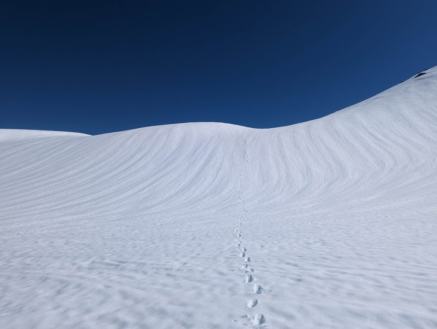
I reached the ridgeline above monogram lake (about 5,000 feet elevation) and then headed at angle across the slopes above the lake. The snow was soft enough to make travel easy with just trail spikes but not too soft so I did not post hole. There were a few streams showing across rock faces where you can get water if needed.
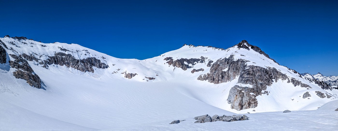
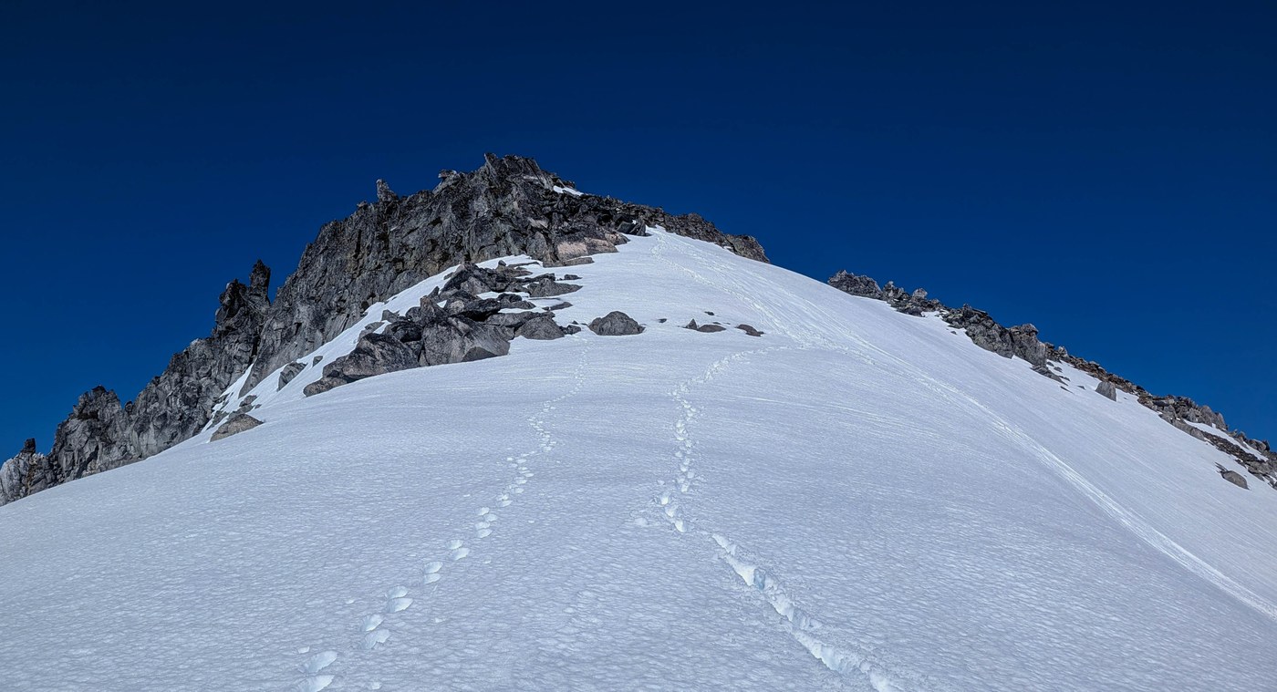
After crossing the slopes above Monogram lake you come around a corner north east of the lake and start to get views of the ridgeline of little Devil peak. The snow here was still solid up until the ridgeline above the the Monogram Glacier. At this point there were occasionally pockets of deep snow where I would sink in to my waist, but these lasted no more than 5 to 10 feet and then it would be solid snow again.
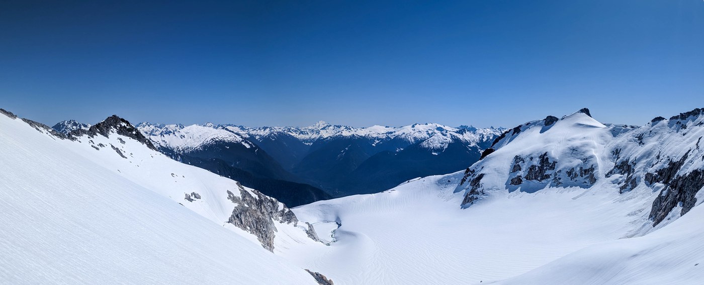
The Monogram Glacier was completely snowed over with no crevasses showing. From here to the summit involved a few sections of steep snow but I was fine in my microspikes and did not need crampons. I found another water source on some rocky outcrops just below the summit. The summit was clear of snow. Views from the summit were incredible in every direction from Baker and Shuksan to the Pickets and Snowking.
360 photos in links below:
Comments