Since it is deer hunting season, we decided to hike at Brooks Memorial State Park. State parks are closed to hunting.
The temperature was 37 degrees when we started hiking so we bundled up in fleece and puff jackets, woolly hats and warm gloves for the first time since last spring. Under sunshine, the temperature warmed up to 51 degrees, but with a cool wind, before cloud cover began to develop ahead of the next rain storm forecast to arrive overnight.
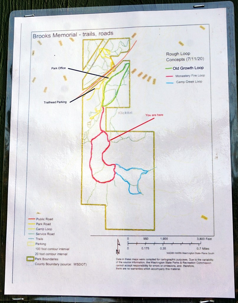
At the trailhead, we noticed a new map on the sign board showing a "conceptual" trail plan. Interesting, because during previous hikes at this park we have never been able to find on the ground all the trails listed on the signs.
We decided to start with the Monastery Fire Trail (sign misspelled as "Monastary"), which was supposed to make a loop.
The 2011 Monastery Fire burned more than 5,300 acres; it was sparked by a pickup truck's muffler while driving by the Greek Orthodox Monastery of St. John the Forerunner which is located just south of the state park. The fire burned into the park before it was extinguished.
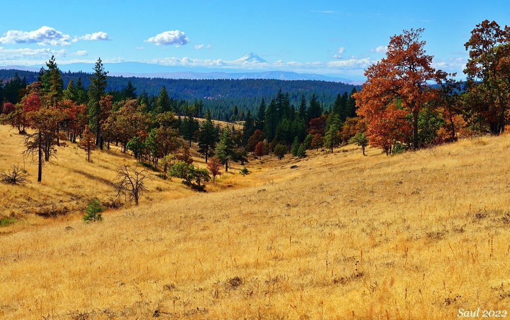
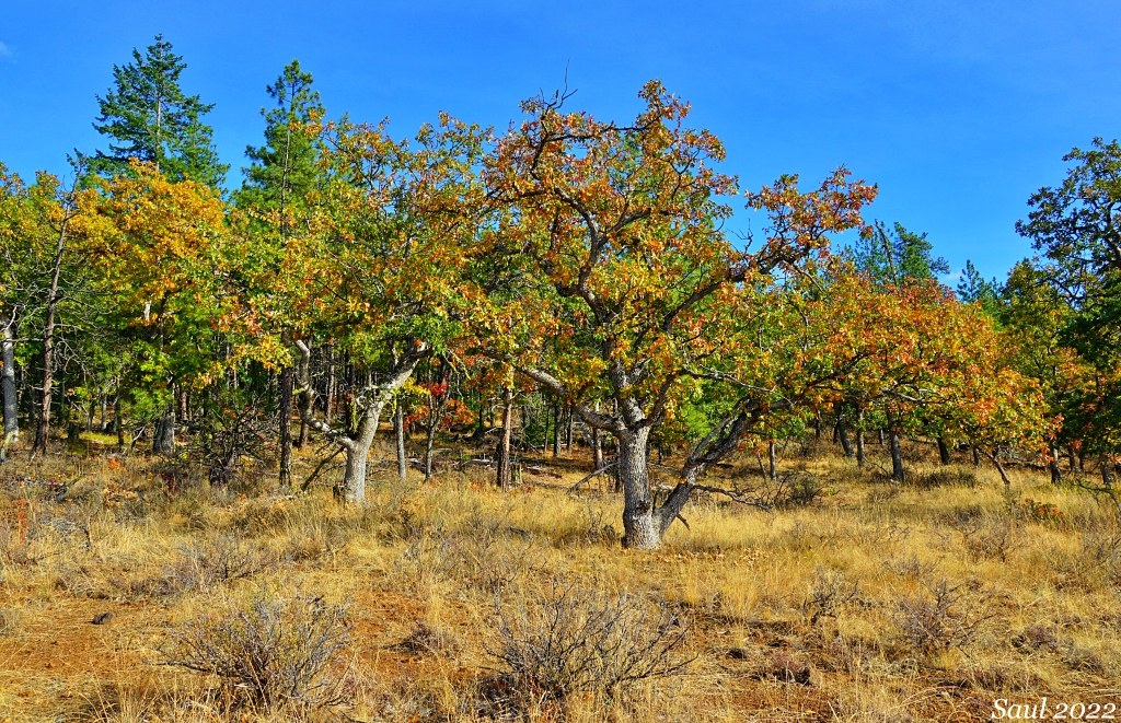
At first, the trail had constructed tread and it appeared that an equestrian group had ridden the trail the day before. In about 1/2 mile, the trail entered burnt Oregon white oak-ponderosa pine woodlands. Most oak trees have resprouted new growth from their roots but it appeared that deer browsing was stunting the new growth.
We emerged from the woodlands at the rim of the Camp Creek drainage. The trail descended directly down the fall line of the slope; WTA trail maintenance volunteers know that is a bad design because it leads to erosion. Already, horse hooves had churned a lot of rocks out of the ground as they descended.
We crossed the dry Camp Creek drainage and continued to follow the Monastery Fire Trail, which, without constructed tread, became less distinct. The trail route wandered through oak woodlands near the park boundary. We saw two trespass cattle on the wrong side of the boundary fence.
As the trail route became fainter, we followed blue ribbons until they petered out and we came to a halt. Yes, the Monastery Fire Trail was still "conceptual" at its far end.
We have explored the park enough over the past 10 years that we knew our approximate location. We decided to hike cross-country back to a picnic table for our lunch break.
The picnic table was missing, so we found a good location with a view to sit on the ground.
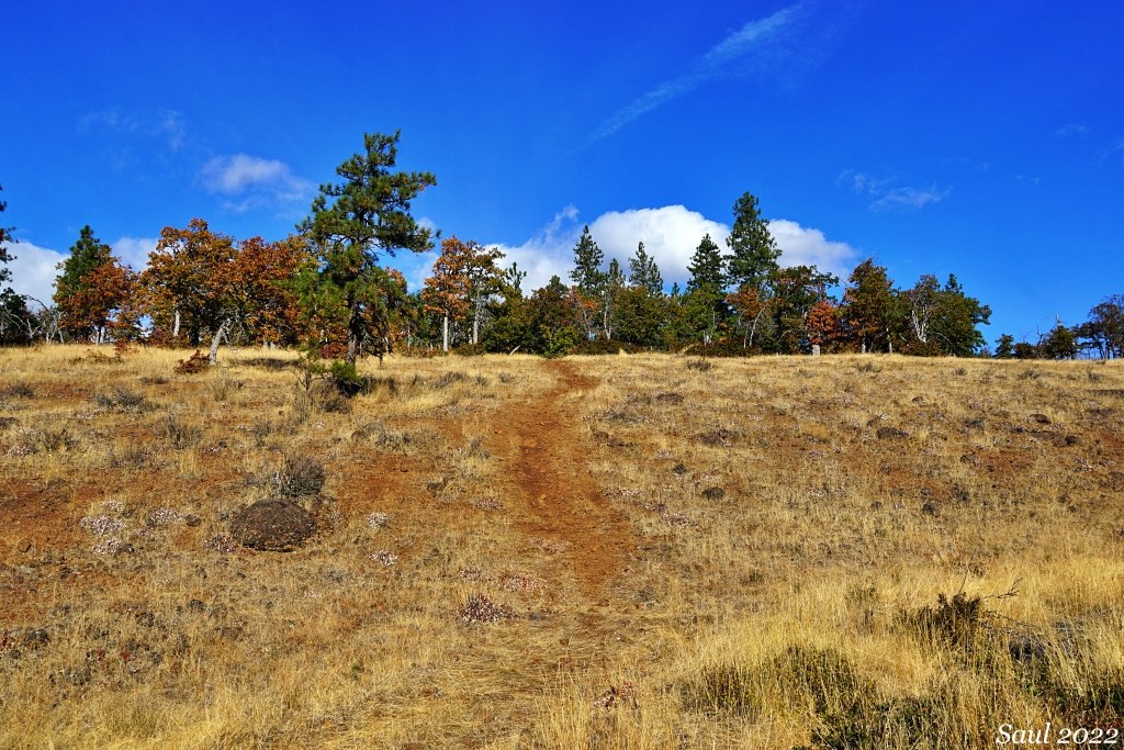
After lunch, we continued on to hike the Camp Creek Trail, another loop. This time, we were able to follow the entire loop because the park had mowed the trail through the grassy meadows.
The loop ascends to the highest point in the park, where we saw a bear on our last visit. It was running along the tree line at the edge of the meadow and just wanted to get away from us. This time, we did not see a bear, but we did see deer bedded down in the shade of oak trees. (A sign at the trailhead warned of bear and cougar sightings.)
We hiked about 4.5 miles total.
It's too bad that park management has not seemed interested in WTA trail maintenance support to help design and construct the park's trail system.


Comments