Day 1
Graves Creek Trailhead
Ideal weather made the 13 miles from Graves Creek to Enchantment Valley wonderful. The deep green of moss on old growth forest juxtaposed against fall colors made the miles melt away.
Enchanted Valley
Enchanted Valley itself was ok, the area is overused and spotted with litter. Heavy vegetation limits mountain views and the primary camp was crowded with loud backpackers playing music late into the evening. Fortunately the night was filled with magic; silver constellations, distant elk bugle, and occasional rumble from calving glacier ice. Quickly cooling temperatures lead to heavy and unavoidable condensation.
Day 2
Junction
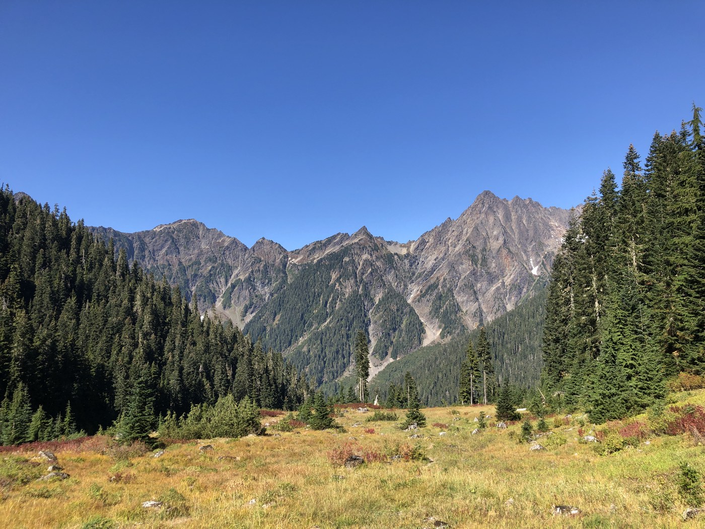
Day 2 was a beautiful terror. I woke with the sun, made some surprisingly great instant coffee, and packed up. More old growth greeted us at every turn as we trekked toward the Anderson/O’Neil junction. At the turn we had lunch and let our wet bags, tents, and clothes air out under the striking blue sky. Feeling energized, we hiked the short mile up to White Creek Meadow where we found a stunning field surrounded by amazing views. We considered making camp and at one of the beautiful sites in the meadow but I’m a stickler for permits so we carried on towards Marmot Lake. It’s at this point where we made significant mistake exceeding my skill and personal limit.
Ranger Pass
Instead of heading out via O’Neil Pass on a well defined and maintained trail we chose to cut 7 miles off the day by going over Ranger Pass (also known as Fisher’s Notch). This is a brutal half mile of loose scree at such an aggressive angle that stable purchase is rare and a misstep can be fatal. By the time I realized I shouldn’t be there it was too late to turn around - purchase was sketchy continuing up but impossible going down. I deeply regret ascending Ranger Pass but lessons are learned, limits found. Moving on.
Use your best judgment but I do not advise anyone to use this shortcut.
LaCrosse Basin
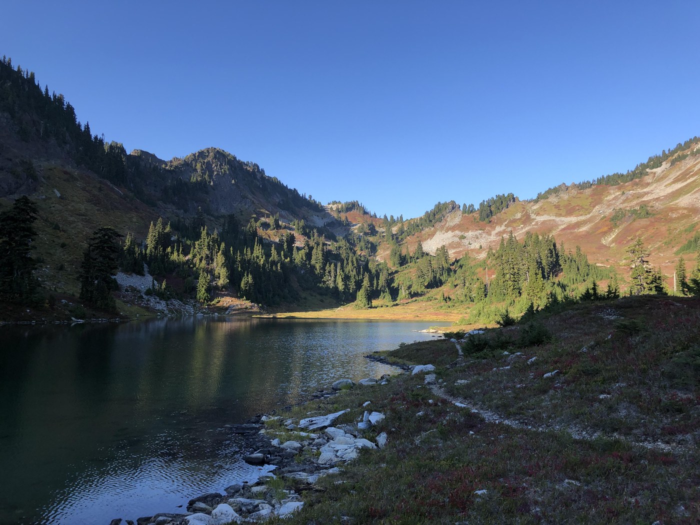
From the pass we descended into an idyllic basin encircled by stone ridges, filled with red huckleberry bushes, and at its heart a blue jewel; Lake LaCrosse. It’s truly one of the most beautiful places I’ve been in the park and we had it all to ourselves. The lake is pristine and filled with more frogs and salamanders than we could count. I had picked up a nasty laceration across my left shin while crossing Ranger Pass so in an effort to assist clotting we decided to make camp and rest for the evening. Again the night provided all the entertainment we could want; an eerie quiet fell on us, the spiral arm of the Milky Way cut faintly across the sky, shooting stars streaked in all directions, unfortunately Musk’s star link constellation marched it’s way past but it provided a good chuckle.
Day 3
O’Neil Pass
Again I woke with the sun, retrieved our bear cans, made coffee, and redressed my leg with a clean bandage. Watching the morning alpenglow warm the ridges above Lake Lacrosse melted all trouble away. Given the day’s mileage we decided to bypass Hart Lake and go straight by Marmot towards O’Neil Pass. In hindsight I wish we had seen Hart, it sounds lovely but we headed up O’Neil and crested the low pass by lunch. We laid out our wet gear to sun dry and rested in the shade as the day began to heat up. The long miles of O’Neil Pass Trail provide views of mountains, meadows, and deep smoke filled valleys. This was the only time on our trip we spotted bear. A mother and cub foraged in a meadow 75 yards below us and paid us no mind. The stretch was dry and we were glad to get back to White Creek Meadow to refill our water supply.
Junction & Enchanted Valley
Now that we were on the return (known) trail we made good time back to EV. Luckily it was a week night and the loud weekend crowd had gone. Only a few other solo folks remained and one fella politely asked for trail info and advice about the area. In the evening we watched bull elk clash antlers, checked on the small crumbing glacier, and wandered around the historic chalet. My partner went to bed early and I stayed up reading by headlamp until a heavy cold fell on camp.
Day 4
Enchanted Valley & Graves Creek Trailhead
The final morning was much like the last. The weather was great, gear was damp (if not outright wet), and the coffee was good. We packed up under the rising sun and were on trail by 9:15. Only one tent was left in EV as we headed out. The trail was as beautiful on the return hike and we encountered a large herd of elk as well as a handful of backpackers heading up. Clouds began to roll in as we reached Graves Creek Trailhead.
End.


Comments
Run4it on Enchanted Valley via East Fork Quinault River, LaCrosse Basin
Hello. Thanks for your trip report. I am looking to go to Marmot/Hart Lake via Enchanted Valley. I've looked at three different maps and cannot find anything called Ranger's Pass or Fishers Notch. Is that section of trail, the trail that heads south off the O'Neil Pass trail and goes alongside the east side of Lake Lacrosse? I would like to avoid what you described. Would you happen to even have a screenshot of a .gpx track that you might post that would show it. I'd be grateful.
Posted by:
Run4it on Oct 12, 2022 08:08 PM
Ranger's Pass
Ranger's Pass isn't included on most maps so I wouldn't worry too much about accidentally finding yourself on it. Here is a link to a Caltopo map which shows it in red: https://caltopo.com/m/0PUS0/Q8131KFDTQ0PTE1S
Posted by:
Mithril on Oct 15, 2022 12:34 PM