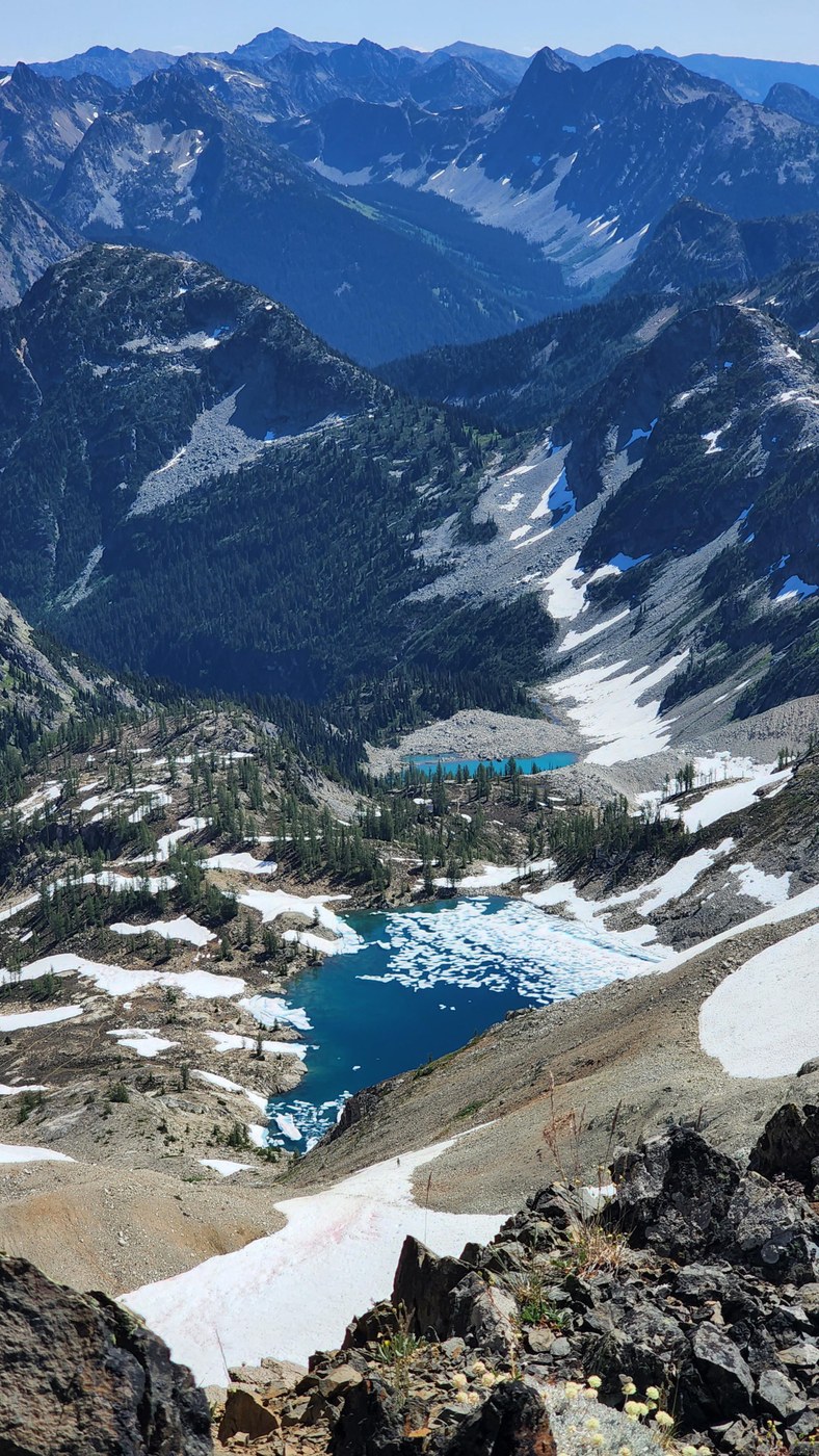
- Started at 5am and it was nearly 40 degrees at the car. Pretty cold. Wing lake had a quarter inch of ice when we got to it later that morning so it must still be hitting freezing overnight up there. Was about 75 degrees at wing lake by afternoon though.
- Trail is snow free now except for really small patches. No microspikes or crampons needed.
- There is a small rockslide that slid over some snow in middle of the first boulder field you get to. You'll know it when you see it. Cairns beneath it are the way to go; going straight over it has unstable & sharp boulders that haven't settled yet. Looks like it may have been fairly recent.
- The terrible black flies are in full force at wing lake. Mosquitoes were horrible when we got back to the car in the afternoon as well, though they were nowhere to be found earlier that morning.
- The scree after wing lake to gain the saddle before the ridgeline may be considered a class 3 in and of itself by some. It's super dusty and slippery and steep right now. The last 200 feet to gain the ridge before even ascending said ridge to Black Peak itself is super sketch. Especially when coming back down.
- The snow that follows the side of the scree stuff above wing lake is perfectly glissadeable on the way down, but rocks are starting to poke through closer to the sides of the snowfield. We glissaded the lower section, and saw some other parties glissade the upper section. My glissade chute definitely uncovered a rock that my left buttcheek will remember for a while, so beware.


Comments
Stank Nasty on Black Peak, Wing Lake
Good info. I'm headed there in 3 weeks. The routing looks fairly obvious or intuitive.I'm curious if you use All Trails gps at all? And/or how reliable it is? Intuition and cairns should be enough. Just wondering if you use a paper map or gps of some sort as well? Thanks
Posted by:
Stank Nasty on Aug 13, 2022 06:51 AM
thejesseman6789 on Black Peak, Wing Lake
Hi!
We use Gaia GPS but looking now, the alltrails and Gaia gpx track both look the same.
Boulder fields has Cairns but is largely choose your own adventure.
Above wing lake there are no Cairns and finding the exact trail can be tricky, because one could argue there isn't one, but it largely doesn't matter. In general you stay climbers left of the first stream/snowfield, follow it up, at the bluff you then cross the snowfield to put the last snowfield on your left instead of on your right. The final trail to the base of black peak ridge is the dirt and rocks which is climbers right of the final snowfield. Gaia shows the snowfields for navigation, but alltrails does not.
But yes you can clearly see where you're trying to get to the whole time, so it's pretty intuitive.
Have a good one!
Posted by:
thejesseman6789 on Aug 13, 2022 02:23 PM
Stank Nasty on Black Peak, Wing Lake
Thank you for responding! Excellent description of the route. I will definitely follow your advice. It is very much appreciated.
I'm super stoked for my trip. Hoping the old body holds up. Doing Kendall Katwalk Saturday, The Enchantments on Sunday, something extremely easy Monday, Black Peak on Tuesday. Then I'll have 3 days staying in Marblemount. Cascade Pass is on the list for sure. If you have any recommendations for that area, I'll gladly take them. Again, I really appreciate the insight and instruction. Best Regards- Marshall
Posted by:
Stank Nasty on Aug 13, 2022 04:02 PM
thejesseman6789 on Black Peak, Wing Lake
Nothing from me, can't go wrong with just about anything off of hwy20 honestly! Got quite a packed trip already, sounds like a great time! Its hard to beat the core zone in the enchantments too - have fun with that one. Cheers!
Posted by:
thejesseman6789 on Aug 13, 2022 05:06 PM