The road to the Thornton Lakes/Trappers Peak trailhead showed signs of new gravel and was in fine shape. There were 8 cars in the small parking lot. My son and I headed out late, at 2:30 pm.
The trail starts along an abandoned logging road and gains little elevation over the 2 plus miles until it leaves the road and starts the climb. About half a mile in we came across a juvenile black bear that scampered away. The creek crossing was easy and the bridge over the next creek a short distance away was in good shape. There was plenty of water up to the Thornton Lakes turnoff. The climb is chock-a-block with roots, so trekking poles are useful. It feels like a beaten trail, except there are old walkways over parts of the two meadows on the way. This year in many places, logs had been cut and cleared from the trail.
After the Thornton Lakes turnoff, the Trappers Peak trail went through two large but easy snow patches before the crease. Working your way up through the crease requires the use of hands (in one spot you need to pull yourself up 5 feet)—which is slow-going but not exposed. Once we gained the ridge, we encountered two significant patches of snow which required care but not micro-spikes.
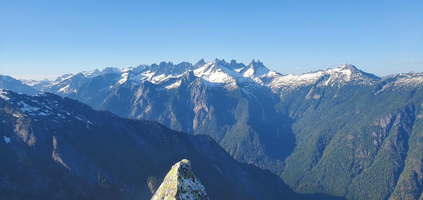
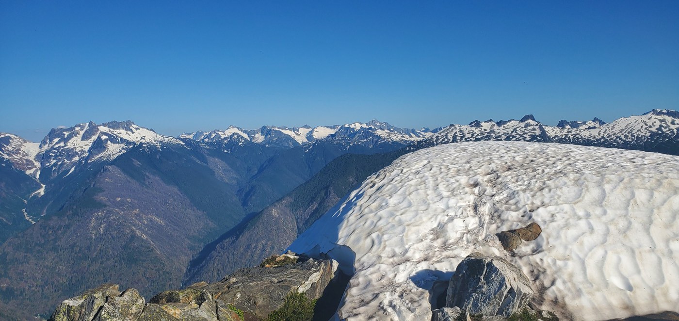
The trail was clear most of the way, but various points along the ridge are up rocks and call for the use of hands. There are a few places where the trail is easy to lose. It’s a good rule of thumb to stay left, especially on the summit block—which looks impossible but is not. There was a large snow cap on top of the peak, which was easy to circumvent and then cross. We reached the summit at 6:00 pm and stayed until 6:45, soaking in views of the Picket Range, Mount Triumph, Mount Despair, and dozens of other peaks bathed in golden light.
We timed our descent to reach the abandoned logging road at sunset, because it would be easy to negotiate in the twilight, but getting down wasn’t pretty. Somewhere along the way, my leg pocket let go and deposited my cell phone and vintage Ray-bans on the trail. By the time we reached the two creeks, it was time to pull out a headlamp. We reached the trailhead at 10:00 pm. There were three cars left, corresponding to the three campsites at Thornton Lake.
Gaia calls this 9.6 miles and 3,500 vertical feet, but the roots and rocks slow it down and make it feel longer and harder—for a view that’s incontestable.
At the trailhead, I left a notice of the lost items and my telephone number. I thought it was a long shot, but the next morning I got a call from Chris who had spent the night at Thornton Lake and climbed the peak in the morning. He’d found my stuff, but there was a rub. He was returning home to Beaverton, OR. It just so happened I was leaving for my other son’s wedding in Portland the next day, so all’s well that ends well. THANK YOU CHRIS!
Note: Crossing the Thornton Lake outlet on logs has been difficult in some years, but Chris said that wasn’t true this year.


Comments