
We did a one-way hike up the Palisades trail from Highway 410, descending via the Ranger Creek trail #1197 back to 410, This totaled about 12.4 miles and something like 3200 gain. It's the 15.9 loop minus the flat return along the White River trail - we accomplished the "shuttle" with our most fit and energetic hiker trail running the extra mileage back to the car.
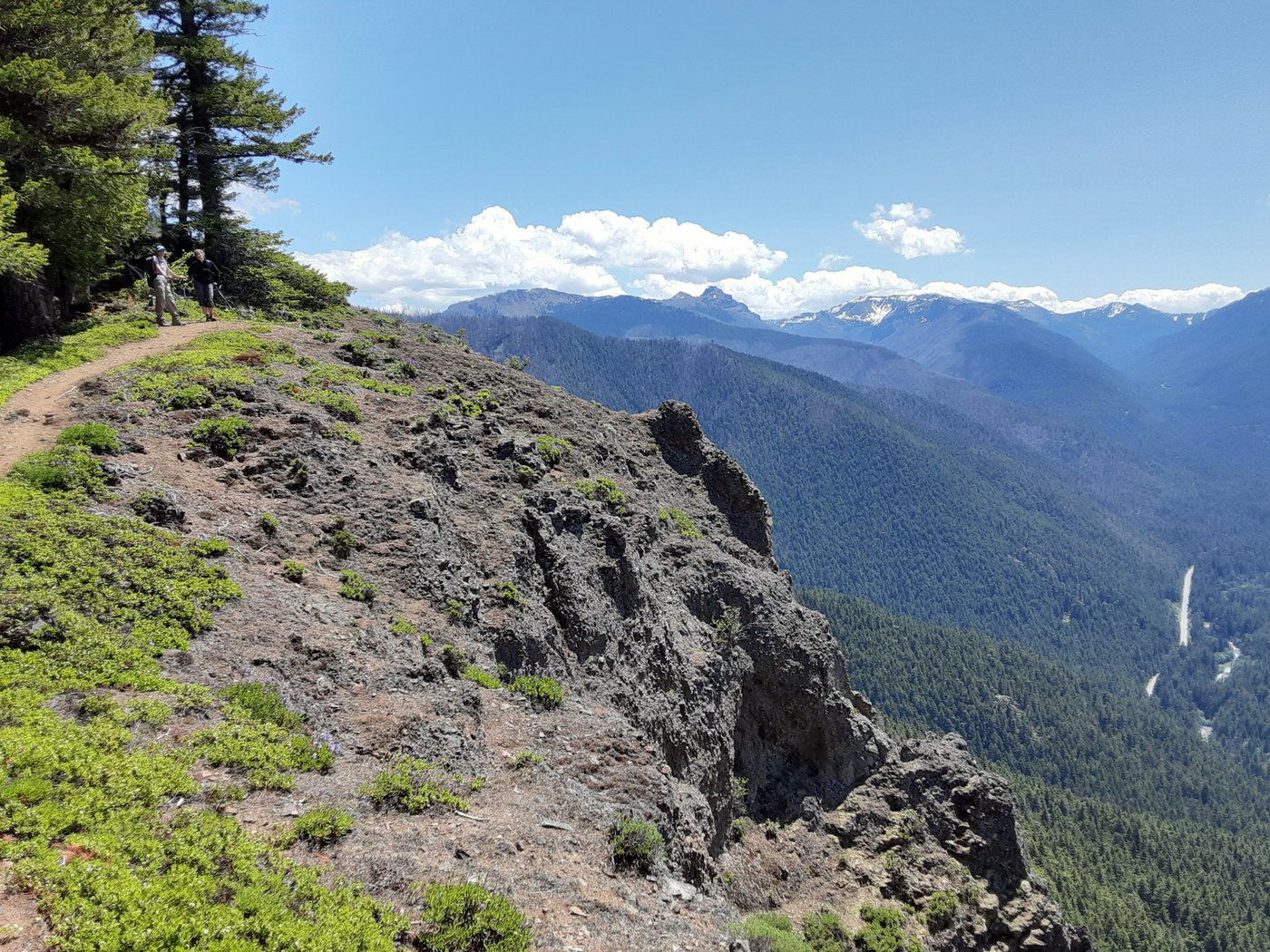
The trail up past the waterfalls through the steep old growth forest is really nice. Smooth tread - Lots of short switchbacks. Gets to a more open and level forest with a gradual ascent to the overlooks. Several overlooks past the 4.5 one. Note that you can only see the top of Rainier but the views into the valley are interesting.
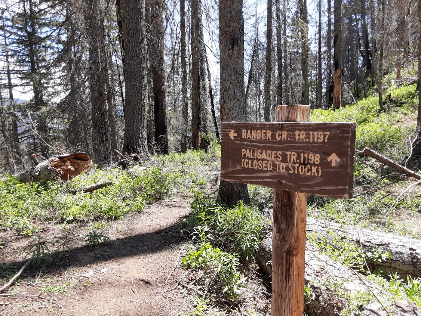
After the overlooks the trail climbs some more, enters recovering burned area, then at about 7 miles arrives at an open area with trail intersection with Dalles Ridge. From there the descent is kinda long - marked as 4.6 miles back to 410. As others have noted the top section has a lot of switchbacks with loose gravel and slightly sketchy footing but none of us fell. Poles were helpful. Descends out of the burned area into increasingly lush forest. No views but easy walking. Obvious parking area just north of Forest Road 7160.
I should add that every single blowdown has been cleared, obviously pretty recently! We didn't have to step over a single log the whole way. Saw one polite mountain biker and maybe 8 other hikes total, all in the first 5 miles although at least of those two hikers were doing the full loop. Saw no one for the second half of the hike on this beautiful Friday.
Comments
Great report! We did the 16 mile loop a couple weeks ago and the top section along the ridge through the burn was filled with blowdowns. Glad to hear it is all clear now!
Posted by:
laraoutside on Jul 03, 2022 09:26 AM
Glad to hear the report is helpful!
Posted by:
Lunapeople on Jul 03, 2022 10:45 AM