Overnight of Silver Star via Silver Star Creek, 6.25-26.
We parked right along Highway 20 at Silver Star Sno-park which for some reason doesn't seem to show up on Google Maps, but it's right where the highway crosses Silver Star Creek (48.598450, -120.585649). There was even a well-stocked outhouse.
The trail started off surprisingly trail-like, which we enjoyed for the short stretch while it lasted. We were soon launched into a burn zone, complete with lots of fallen trees and unstable terrain. After clambering over multiple charred logs, I soon was a soot-and-tree-sap-covered creature.
Burn eventually gave way to an open rocky area, and then more forest/more burn. We eventually emerged into meadowy basin at around 5000' (it seemed like there might have been some campsites there?) with a good stream, where we drank some sweet sweet water.
Our next mission was trying to ascend a steep stretch into the upper basin. We took a very steep brushy line up and ended up veggie belaying quite a bit. I think we would have done better doing what we did on the way down, which stuck more to a slightly less steep, rocky gully (still quite some bushwhackery involved).
The boulders began in earnest after this, and it was very very slow-going as we scrambled through, over and around them, and on sketchy patchy snow in between them. We eventually dropped down on to solid snow when it seemed like it was continuous, threw on the snowshoes (snow seemed consolidated but we hate post-holing) and made our way to a good campsite at 6400'.
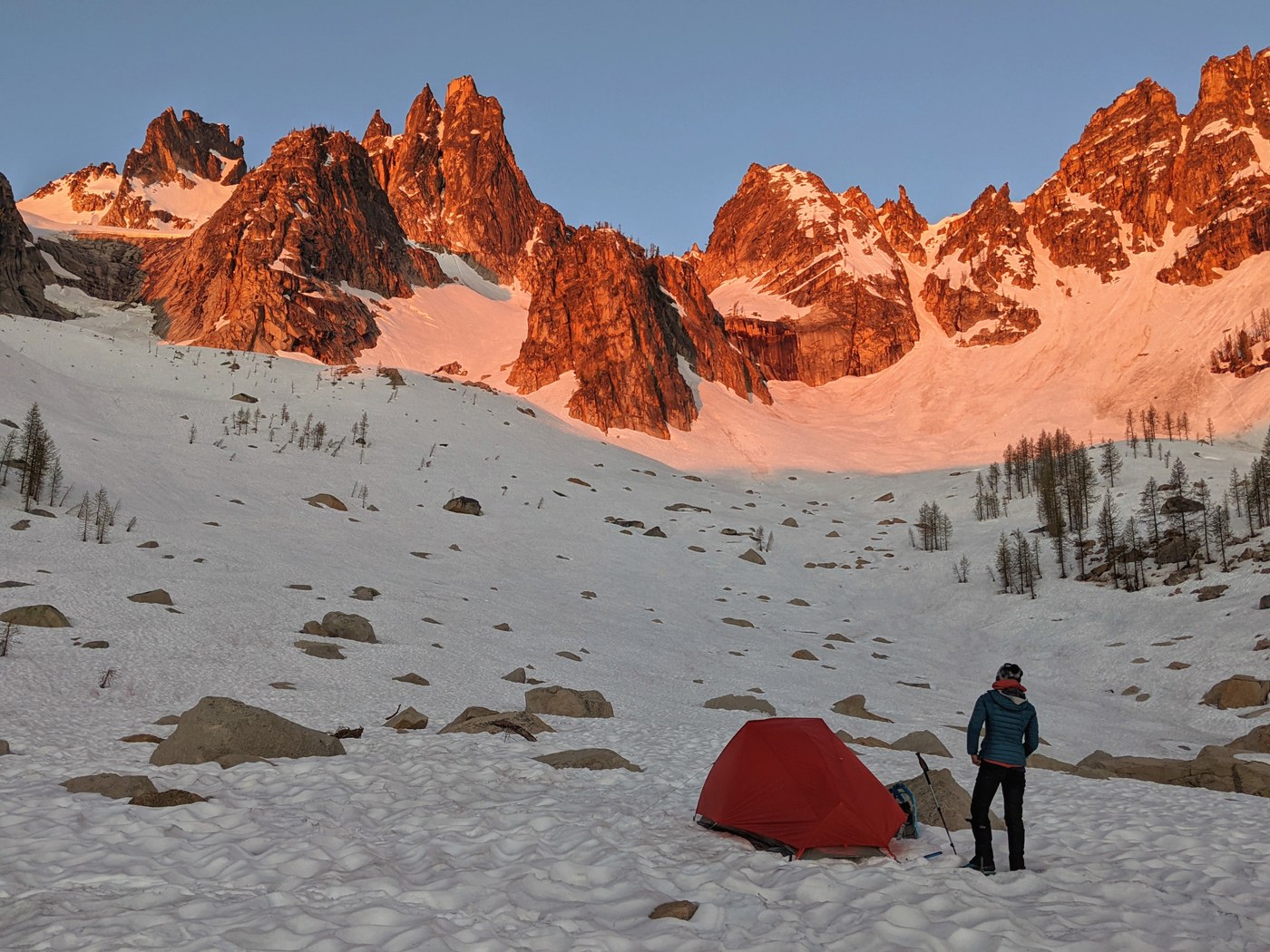
We camped on snow, but there was running water at camp! We had to sort of squeeze under the largest boulder to get to it, but it was great not having to melt snow.
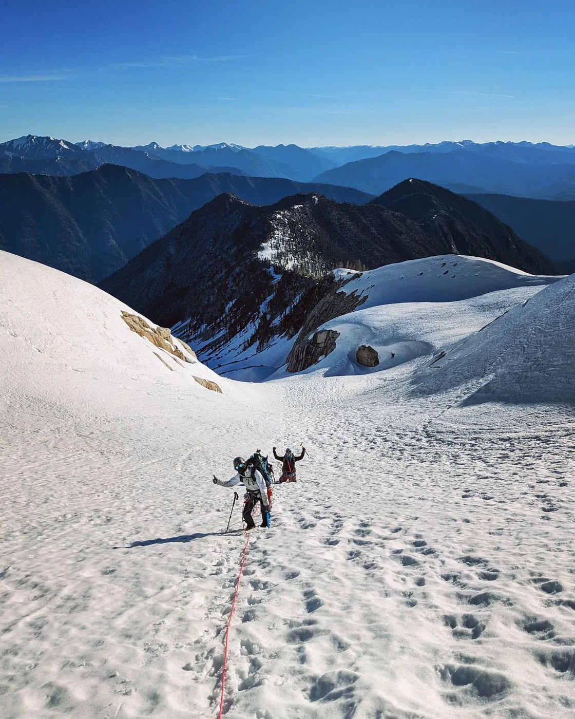
We got ready for our summit push the next morning and donned crampons as the granite spires glowed fiery with alpenglow. The snow slog up towards the Silver Star col was pretty straightforward. We decided to rope up on the glacier for practice although it was in good shape.
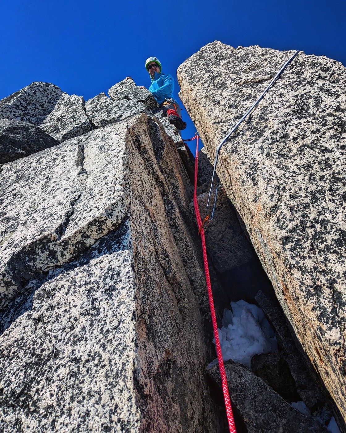
We stashed snowshoes and some other gear at the col and headed up the final steep snow climb which had one short section of dirt melted out, before reaching the summit block and the chimney move. Since I have a low spice tolerance, we decided to sling a boulder in the interest of not having anyone fall off the mountain, and my partner led it and belayed the rest of us up (there was an existing slung boulder up there with rap rings).
We enjoyed a glorious bluebird summit, and hung out for a while enjoying the vista of the North Cascades before descending. Since we had the rope, we decided to just rap back down the chimney area and then my partner lowered us down the steepest snow part past that (since we are horribly slow down-climbers LOL) before he climbed down.
We decided to glissade part of the glacier on the way down; the snow lower down had started to soften and was ok for plunge-stepping too.
We left camp pretty late (2pm?), and the slog out took just about forever and was thoroughly painful in my opinion (LOL). Footwear issues on my end made it much more more unbearable than it should have been, but my brain had somehow blocked out the extent of the burn, boulders, unstable ground and fallen trees, combined with the heat of the day (most of the approach is not shaded).
We did try and stay on snow (which was slushy and slippery now) as long as possible for the exit, which I think allowed us to bypass a chunk of the boulder-hopping we had done on the way in.
I have heard rumors that the Burgundy Col approach might be less of a terrain pain, but steeper, so pick your North Cascades poison I guess. Or just save this one for when it has good snow coverage and ski it.
More pics on instagram: @thenomadicartist


Comments