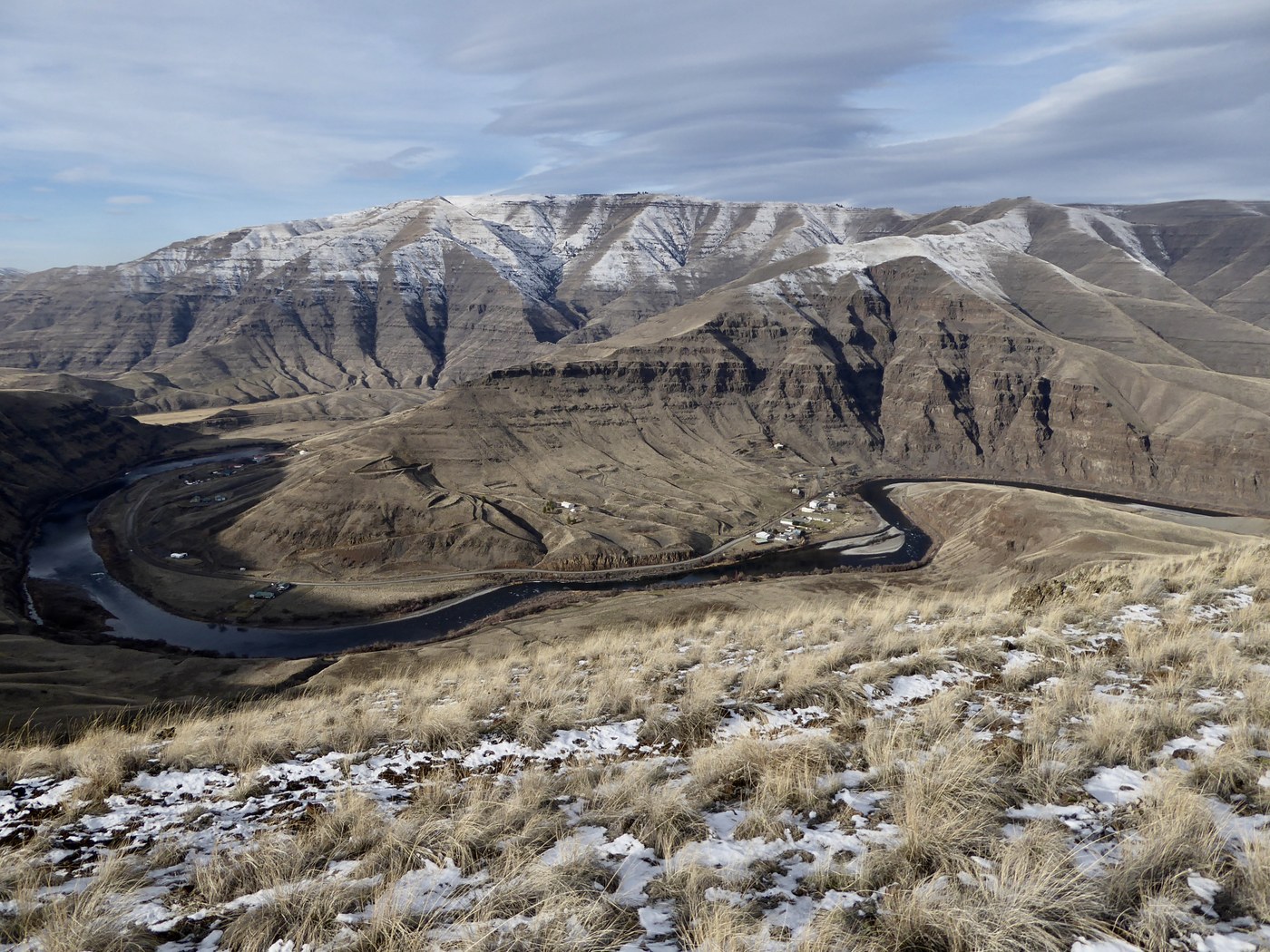
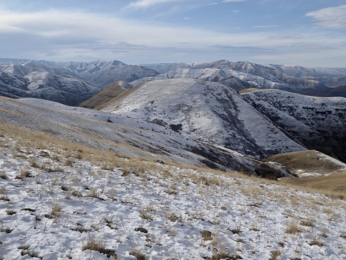
This is the northern end of The Chief Joseph Wildlife Area in Asotin County where the Grande Ronde and Snake Rivers meet. Rather than starting at nearby Green Gulch, I drove up Rogersburg Rd after crossing the bridge over the Grand Ronde. The road is signed and leads to the small community.
I parked a bit east of the red tower structure with cables across the Grand Ronde where a section of state property comes down to the road at the base of a cliffy ridge that drops from Lime Hill some 2000' above.
Lower down there is no trail but the terrain is wide open (though may be a bit brushy in summer) and I gained the ridge at a low spot past the cliffy areas. Game trails and old, grassy roads make the going up easy and I mainly hiked up on the crest of the ridge beside an old fence line until just below the summit.
Lots of elk and deer wintering in this area.
Lime Hill can also be approached via The Green Gulch Trail but is a longer hike unless two vehicles can be arranged for a through hike. The link below shows the starting point and route up Lime Hill though is a more extended hike than I did.
This is a good option for the winter months as snow is minimal at these low elevations. Microspikes and poles would come in handy in steeper sections when snow/ice is present.


Comments