

With an iffy weather day I was looking for a close in hike that was still somewhere different from the places I've already been...
This fit the bill nicely - having to take a ferry ride makes it a slightly more expensive day, ($25, but only one way and on Saturday very few people were coming and going so no lines at all) but also means that the area isn't overly crowded. We saw a few groups people throughout the day, but were mostly alone.
The biggest complaint was the off leash dog ratio to the people ratio.... It's a King County administrated area, so a leash required park and signed as such, but some of the locals clearly treat it as an off leash dog area. We had a pair of weimaraners dashing back and forth nearly bowling me over multiple times near the beginning of the day, then later in the afternoon we had to double back to a parking area after a poodle/doodle began following us around despite repeated efforts to shoo it. It would have become completely and totally separated from it's owner who was unable to walk quickly and a bit deaf had we not... Of the dog walkers we saw - 2 had a single dog on leash, 3 had a total of 6 dogs off leash.
Other things to know
1)The map is not entirely accurate. There are 2 types of trail in this park - multi-use trails that allow hikers, bikers and horses and bike specific trails that state hiking is not prohibited, but that bikes have right of way. Those trails are signed and named within the park, but that is not reflected on the map - the interior loopy trails seem to be the bike trails. Those more toward the edges, souther tip and northern area across the street are multi use. The multiuser trails are not signed, but there is a map that is relatively easy to use. Even avoiding the mt bike specific trails it's not hard to get a good day's walking in - we covered nearly 10 miles, with only a little backtracking, as a few trails - like the one to the beach, dead ended. We also tried to make a loop following the 'unmaintained' portion of the loop on the north side of 270th... we couldn't find it.
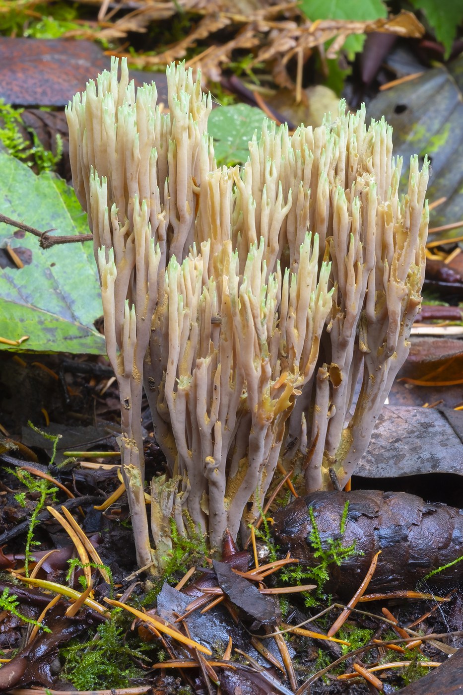
2) This park is undergoing remediation for pollutants in the soil - all of the trails are currently being capped with gravel and sand because the area was in the plume of the Asarco smelter and also had a skeet shooting range located on part of it and the soil has been found to contain high levels of arsenic, lead and other contaminants. Work appears to be ongoing so some trails may be closed - there are signs up BUT they could use a lot of clarification.... they state that the particular trail is closed to allow the cap to 'settle' and harden and to please not use until this happens, but the signs are not dated - either to the date of the work or to the date by which they expect the settling to happen.... This also means that collecting of berries, mushrooms (we saw several edible species) etc. would likely not be a good idea in the general area.


Comments