
Arrived at the trail head at 10am and hit trail by 1030. I was trying to make a break for the weather today hoping to see clear skies at the top.
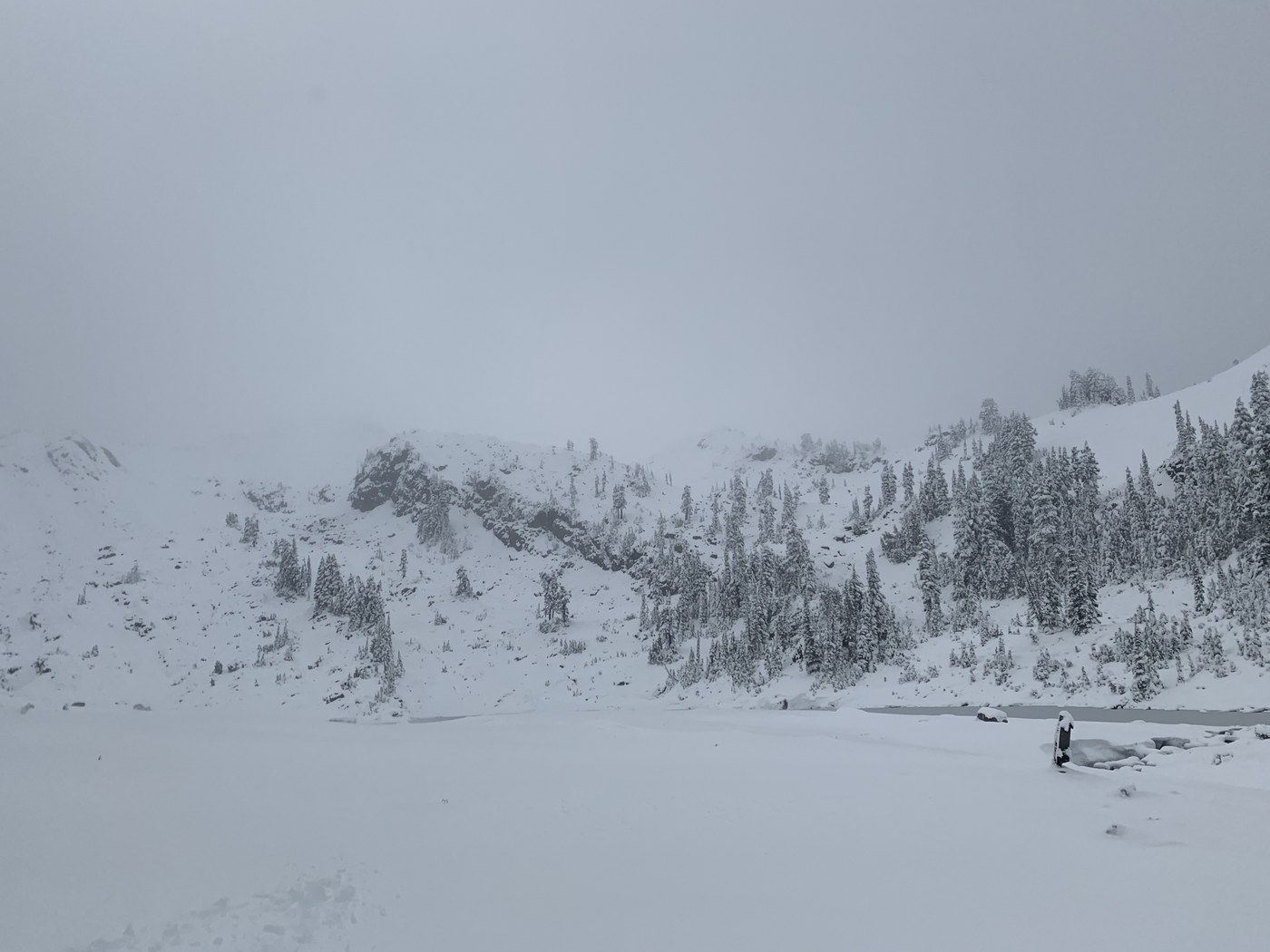
About 1.3 miles from the top, the snow started getting pretty deep and it was almost impossible to navigate the trail without a GPS map on your phone.
I ran into two lovely people on the trail, Rafael and Maurine, and they had their GPS map as well and we compared routes. We got off route for a bit but were able to boot pack to the top and reach the lake. There was about 2 feet of snow at the lake and visibility was very poor.
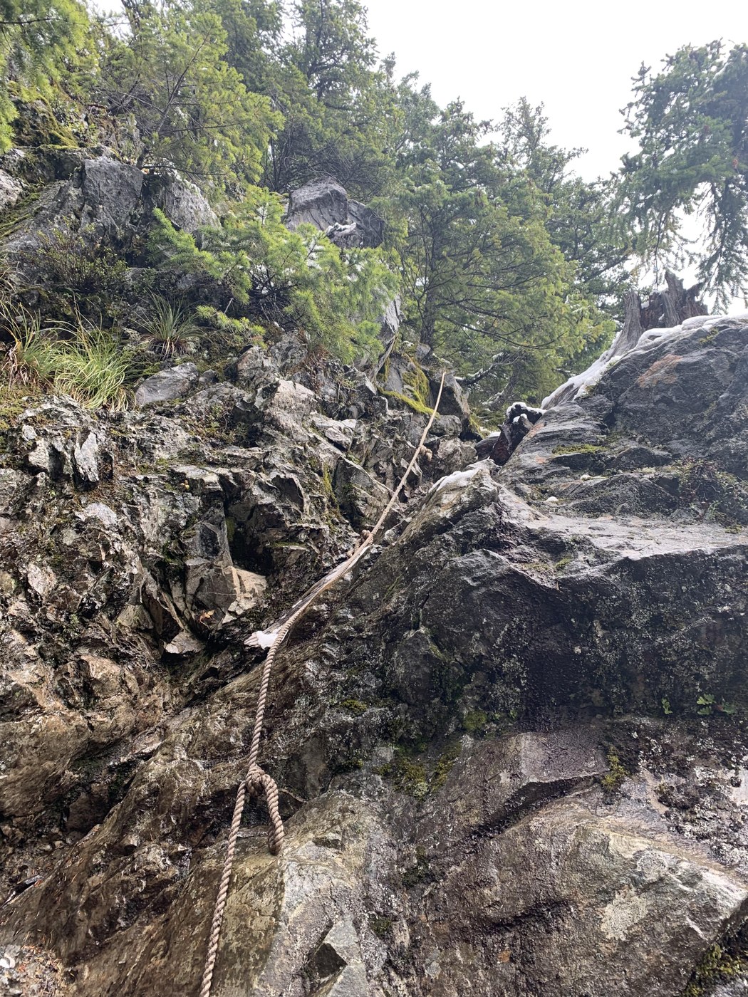
I would also recommend bringing rain pants, gaitors and yak tracks if you have a pair. This was a very difficult climb in terms of incline and having to use the ropes to climb of the rock in the rain.
Unless the snow melts, I wouldn't recommend doing this hike if you’re looking for a fun day hike. If the weather is clear, it would be beautiful.
Here are a few issues when doing this hike to be mindful of:
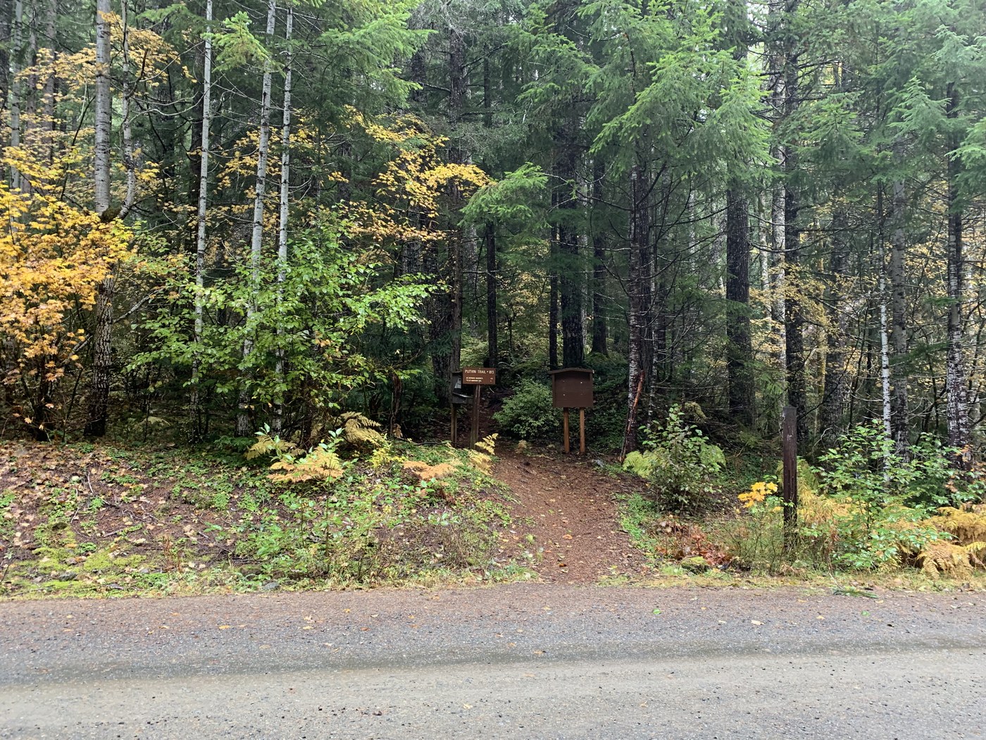
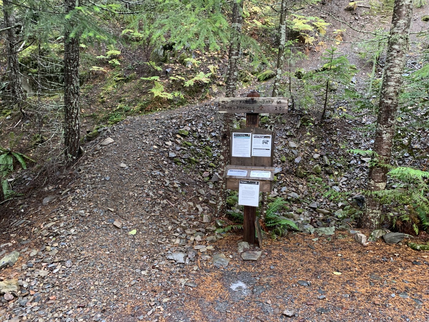
1. Keep a lookout for the trailhead after the bridge. It’s easily missed. If you have gone to the dead end to Milford lake, you’ve gone too far.
2. Don’t trust google maps. It will tell you to turn right on a road that no longer exists.
3. Be prepared for steep inclines and rough terrain. Many small creek crossings as well.
Cheers !
Comments