On August 31st, we started hiking the Pacific Northwest Trail (PNT) South from Lake Ozette in the Olympic National Park with our end goal being Discovery Bay (200 miles). We took public transportation from Seattle (see tips at the end of this write up) and as a result got our permits for the Park without having to stop at the Wilderness Information Center (WIC). (See tips at the end). This report will be broken into three sections.
Section 2: Bogachiel River Trail to 21 mile camp
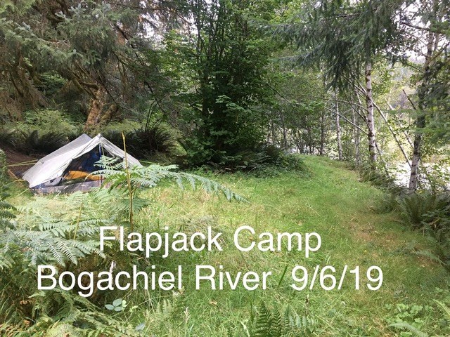
Day 7: From the Bogachiel State Park, walk 5 miles on a paved/dirt road without much traffic until you reach the Bogachiel River Trail parking area. There is a reason only one car was in the parking lot, this trail is not well maintained and we were warned so by parks personnel as well as by reading the two WTA trip reports. But just how bad was it? For the first few miles the trail was great, wide and a lovely example of rainforest habitat. Then the trail gradually narrows down to about 1 foot wide. By the time you get to Bogachiel Camp you might not be able to find the turn off as there is no sign and the trail itself is so little used. Despite having a GPS, we gave up trying to find the “ranger station" and kept going to Flapjack Camp where there was a small sign at the turn off. Flapjack is right by the river and has two grassy spots a little ways off the main trail. One spot is big enough for an entire Scout Troop. We saw one person the whole day and stopped early to swim in the river. Bugs were not bad.
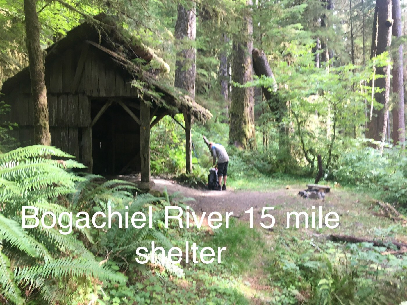
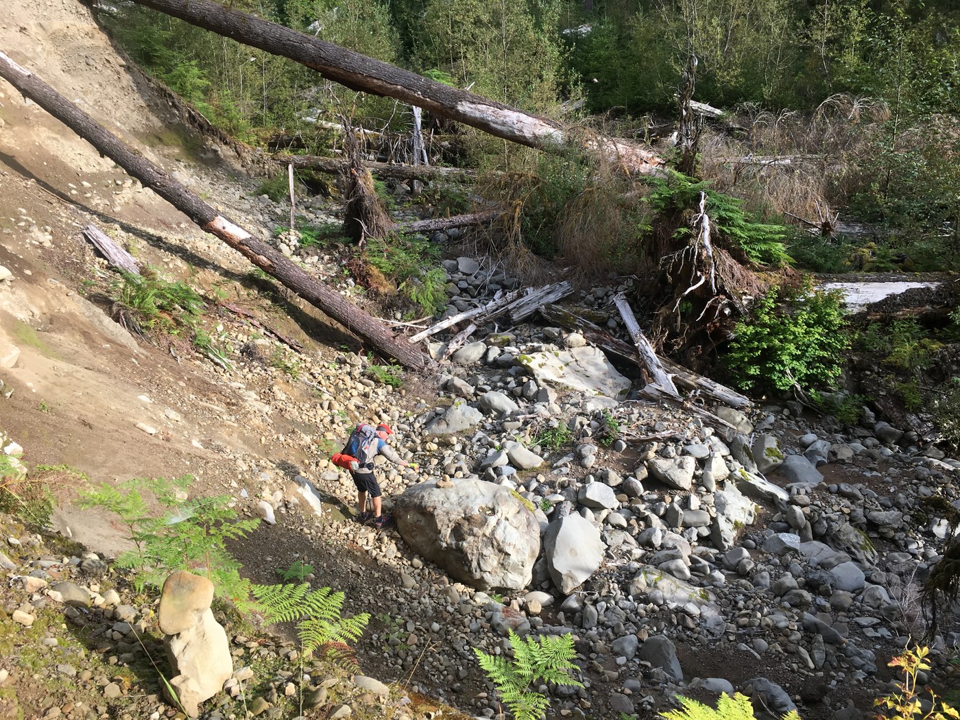
Day 8: On the Bogachiel Trail from Flapjack to 21 mile camp (14miles). I started counting blow downs but lost track. Most fit into the easy (walk around/step over) or moderate (a bit of a challenge but taking a pack off or needing a boost to get over was NOT needed) category. However, the crescendo builds the further up this beautiful river trail you go. There are maybe less than 10 difficult blowdowns or multiple trees piles to work around but the accumulation of all the blowdowns combined with the 5 and 6 ft high brushy (salmonberry) sections which total obscure the narrow foot path and is like going through a car wash, starts to take a mental toll. Plan on your hiking speed to be reduced and take your time. Our normal hiking average is 2 MPH, but was reduced to 1.3 MPH. At Fifteen Mile Shelter there is a small dirt spot big enough for two small tents but water is not close by. At Hyak Shelter the camping spot is really nice and water access close but the brush is so thick all around the shelter that you need to pay attention to where the trail is in order to find it again. After about 1/4 mile east of Hyak, the elevation changes enough that the brush begins to thin out and, phew, you can just deal with the blow downs. At 21 mile camp, which you can request on your permit, the shelter has collapsed and is now being used for firewood. There is space for 2 small tents and water is close by. We only saw 3 PNT thru hikers the whole day. The mushrooms are in full flush and beautiful.
Transport Tips:
We wanted to try and do this trip using public transport as a personal challenge. It is not necessarily cheaper than driving your own car, hiring a shuttle or having a friend spend two days with drop-off and pick-up.
1. From Seattle, catch the Bainbridge Island Ferry ($8.50) and connect to the 1-2-3 Straight Shot Bus ($10) on the Clallam Transit System. This bus meets the ferry twice a day and makes limited stops all the way to Port Angeles. If you are on the morning ferry run, catch the #14 bus to Forks ($1.50). In Forks, spend the night (motels vary $) and set up your resupply. Schedule a pick-up with Olympic Hiking Company (do this ahead of time). They provide shuttle service to various trail heads, including Lake Ozette and Hoh River ($60) trailhead-shuttle-schedule. There is no taxi or Uber service in Forks. Or catch the evening ferry after work, spend the night in Port Angeles, catch the morning bus to Forks, set up your resupply if needed and meet the Olympic Hiking Company Van at 1pm. You will be at Ozette and on the trail by 3pm. If you are just doing the Bogachiel trail then catch the Jefferson Transit bus to the State Park from Forks.
2. If you are hiking the PNT and doing public transit, it is difficult to make it to the WIC to pick up your permit. It’s 2 miles uphill from the Port Angeles Transit center to the WIC. REC.gov reservation site is unwieldy for long multi-day trips. Instead, call them and have them help you with your permit, having a general idea about how many miles a day you can go etc. Scot and Mel at the WIC are amazing resources. They will email your permit. Plus, for a multi-day long hike it’s cheaper to buy a season ”frequent hiker pass” for $45. You break even at 5 days. We were unable to purchased this pass on-line through Rec.gov.


Comments