

Day 1: I've wanted to do this hike for a while now, and a 3-day weekend was the perfect opportunity. Started the hike at Snowgrass Flat Trail #96 and hiked ~6 miles to Alpine camp (on Lily Basin Trail #86). There was only 2 sources of water around the camp area. Probably need to hike at most ~15 minutes to get to a creek. Fortunately, we got a campsite fairly close to a water source.
Planned to do a sunset day hike to Old Snowy, but did not have enough time. Instead, we just enjoyed to view on Mount Adams during sunset from a section of the PCT.
Day 2: This day was easy. We did a 2-mile hike to our second campsite at the Goat Lake area. A ranger was around the area and told the backpackers there that camping by the lake is prohibited. People should be at least 200 yards from the lake or trail. This info was not well communicated because there were no signs around the area. Even if people are unaware, the least people can do is to not poop around the lake area. There were lots of complaints from other fellow hikers.
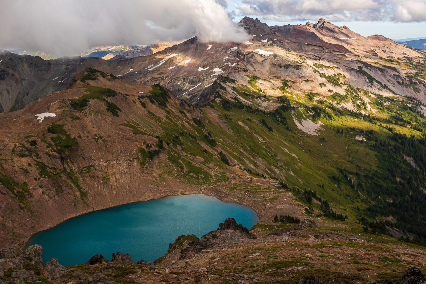
Anyway, after setting up camp, we took a nice long break and just relax by the lake. About 4 hours before sunset, we hiked up to Hawkeye Point. The view was phenomenal. Some might be bummed with the cloudy weather, because we couldn't see Adams, St Helens or Rainier. But being a photographer, this was the perfect weather for dramatic landscape shots!
Hawkeye point is around 2 miles and 1000 ft higher than our campsite.
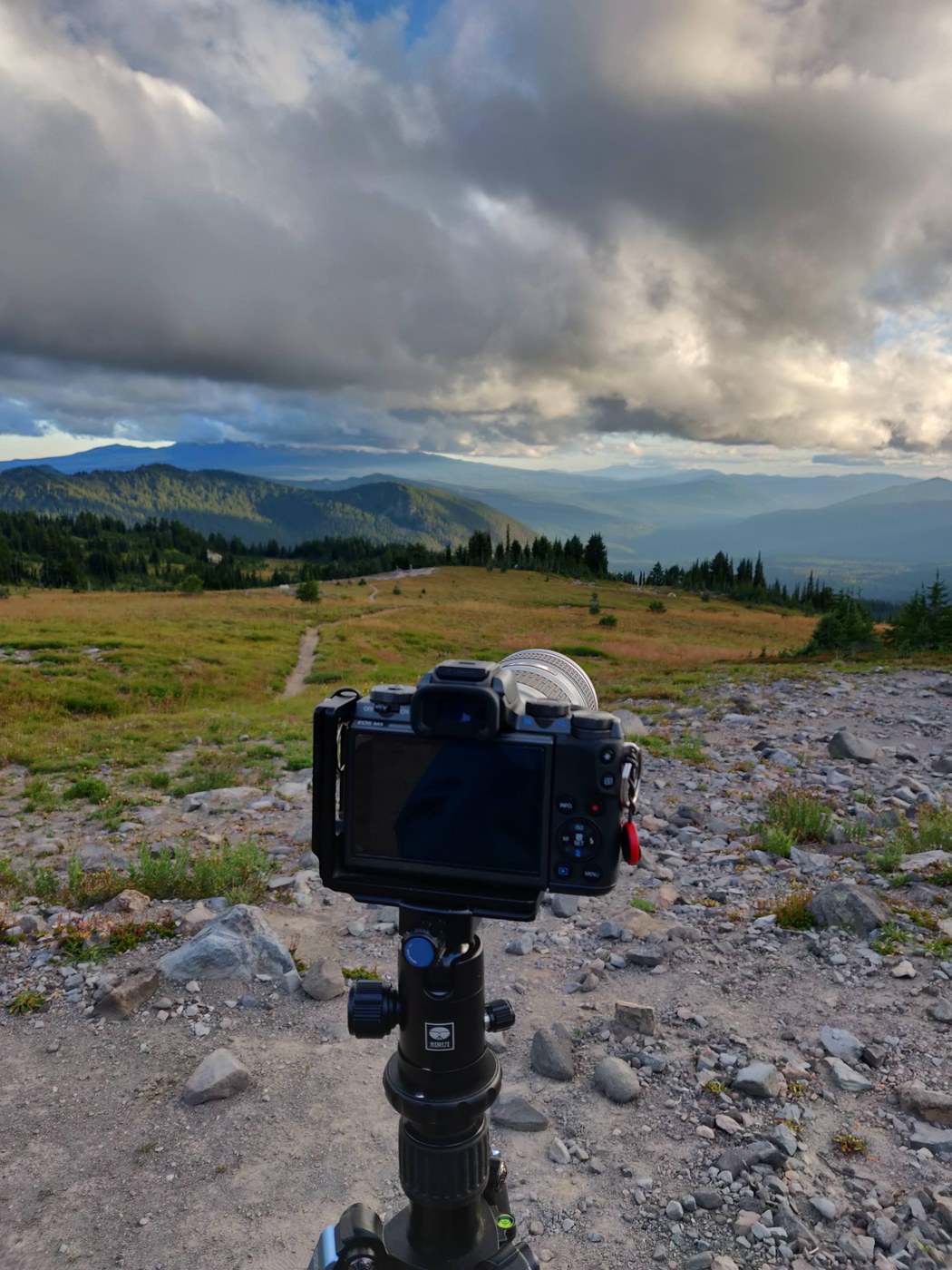
Day 3: What better was to end a backpacking trip in Goat Rocks Wilderness that a stunning view of Mont Adams with a blanket of clouds covering the valley below. I sprung out of my tent re-sunrise, did some 0.5 mile hike and captured one of the best photos I've taken in this trip.
We set out to our hike down around 10 am and took the Lily Basin Trail # 86 due west and then Goat Ridge Trail #95 back to Snowgrass Flats Trailhead. Took us about 3 hours, covering 6.5 miles.

Comments
Great report and incredible photos. Thanks for the water tips.
Posted by:
Loren Drummond on Sep 09, 2019 01:03 PM
Beautiful photos!
Posted by:
Turtle55 on Sep 11, 2019 08:26 PM
Beautiful pictures! How bad was the road?
Posted by:
pikameep on Sep 20, 2019 06:29 PM
Thank you! The road was rough but fine. I drove a sedan and made it alright.
Posted by:
PixelsAndPassport on Sep 21, 2019 05:05 AM
Absolutely gorgeous
Posted by:
GoatPackin on Oct 20, 2019 05:01 PM
really fine art. love the first one. I can see how the terrain here is similar to the Tatoosh area, very craggy.
How difficult is it to reach the trailhead? I would drive via Chehalis.
Posted by:
Olly Jocko on Jun 03, 2020 09:28 AM
This was a while ago, but I remember driving on unpaved road for the last hour or so. Not too bad, and I was driving a sedan. It took me about 3 hours coming from Seattle. Directions on Google Maps was reliable.
Posted by:
PixelsAndPassport on Jun 06, 2020 06:49 AM