
*Milk Creek Trail is closed!* The bridge over the Suiattle River is out and the trail hasn't been tended in years. My planned loop up the Suiattle, S on the PCT, up to Mica Lake, & out Milk Creek was canned in the TH parking lot when helpful hikers fed me this info. Recent WTA reports don't say this and a new Ranger didn't know, either. Did my homework, still got blindsided! Then my dog rolled in poop. Comically bad start to a hike.
Fortunately, my Plan B hike to Image Lake and back worked great! Up Suiattle Tr. I went to the camp at the suspension bridge just shy of the intersection w/ the PCT. Rounding the Lake & back from there would have been too far. The next marked camp was past the intersection w/ Trail 785 but closer to it than I was, so I went for it. Mercifully, there's a camp (w/ a stream and pit toilet, no less!) just shy of Tr. 785! (How is that not marked on maps?) We called it "9-mile camp". Met some cool people there, and they helped my dog feel at home. 9.4mi from the TH, we all slept like champs.
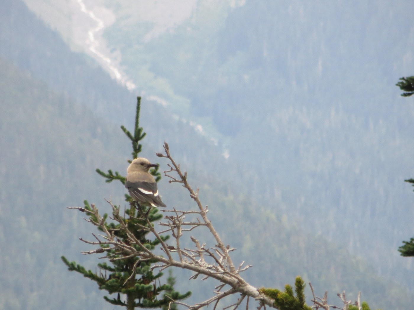
Day 2, I ditched my tent, pads, & sleeping bag to travel light & fast for what ended up being a 14.4mi loop. Up switchback ridden Tr. 785, right for a traverse on Tr. 795, left up thru huckleberries to Lady Camp & lunch. High alpine meadows filled w/ blueberries, marmots, birds, and views. Image Lake was almost a let down after all that beauty! Ran into trail buddies from 9-mi Camp and we ventured over to the fire watchtower to meet its sole resident, Russ! Chatting away, I almost missed my cue to head out in time to get back before sunset. My pup & I bombed down the mountain w/ 30min to spare. 9-mi Camp is on the PCT and there were tons of Mexico to Canada hikers giddy to finish their journey! Slept like a champ again.
Day 3, fully packed up again, made the 9.4mi trek out. Found a lovely beach camp along the shores of the Suiattle I hadn't noticed going in. Good trip!


Comments
Bunny Love <3 on Suiattle River Trail, Image Lake via Miners Ridge, Milk Creek
Zak, glad you found a good back-up hike! FYI, if you search "Milk Creek" on WTA's hiking guide link, it clearly states at the top of the hike description that the bridge is out. Searching the Hiking Guide and not just trip reports is often a good way to hear/read about access or certain issues with trails or roads.
PS - I just checked the previous 3 trip reports for Milk Creek and they all mention the bridge is out. :P
Posted by:
Bunny Love <3 on Sep 02, 2019 07:40 AM
Zak on Suiattle River Trail, Image Lake via Miners Ridge, Milk Creek
Thanks for the tip, Bunny Love! I haven't been in the habit of checking Hiking Guides, just Trip Reports. Guess I need to check both! (And w/ the Rangers from that district.) Had I read older Trip Reports I would have seen that the bridge was out & trail was overgrown. Part of what happened was that my original plan was a loop hike in the Pasayten, but the bridge was out there, too! Most of my research was on that hike.
Posted by:
Zak on Sep 02, 2019 12:21 PM
Zak on Suiattle River Trail, Image Lake via Miners Ridge, Milk Creek
Also, I need to check each section of each hike. Just checking "Suiattle River" didn't reveal anything about problems on Milk Creek. I needed to also search "Milk Creek" specifically.
Posted by:
Zak on Sep 02, 2019 12:24 PM