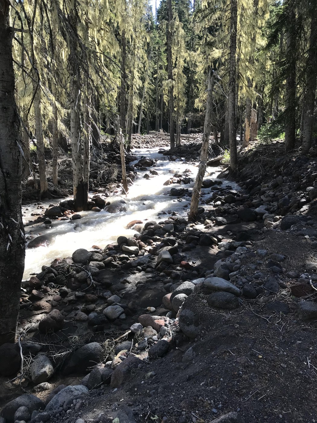
Today's hike was ideal - clear sky, 80 degrees, cool breeze coming off the glaciers, no mosquitos, and few hikers. Moderate difficulty hike rating is due to the ascent but the incline never exceeds 10%. Be sure to sign the Wilderness form. The beginning of the trail is wide and the tread well compacted. About 3/5 of the way the trail takes you to an overlook of the Adams Creek (rushing river). The next portion of the trail is forest interspersed with meadows until you reach the 2-mile mark. A snow gage is in the middle of a meadow for airplane fly overs (photo). At least 30 feet tall.
Here the trail leads to the Pacific Crest Trail 0.7 miles further towards the mountain. A side trail is 0.3 miles to a primitive camping area at the foot of a lava field. Back on the trail, the final segment is through an expansive alpine meadow with wildflowers everywhere. Once you reach the PCT, the end of the #112 trail, you can go south 0.1 miles for some better views of the Adams Glacier or north across a moraine.
When you start your return from the PCT junction look northwest the mountains are Mount Ranier and Mount St. Helens.


Comments