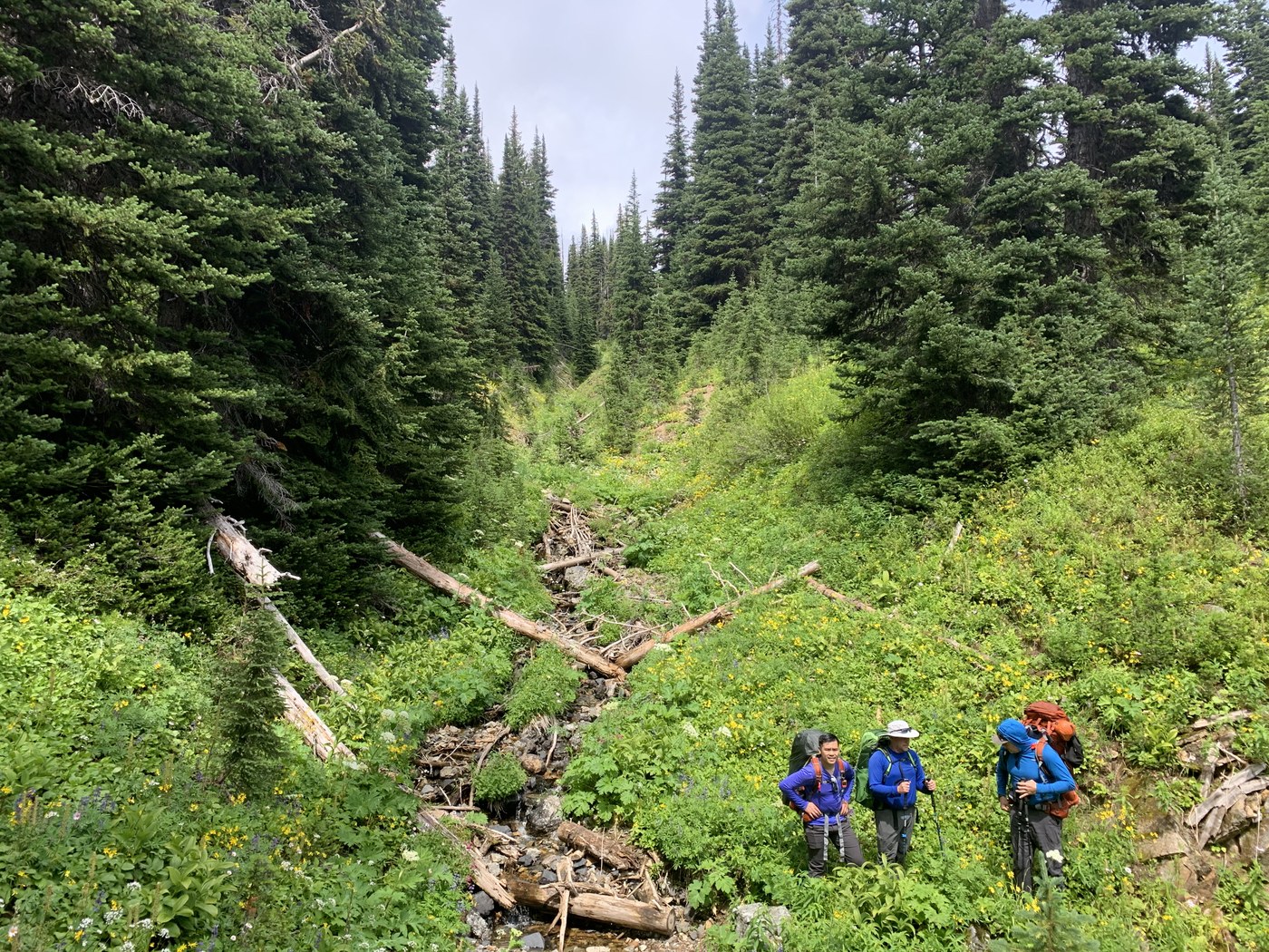
I hiked Rock Creek Friday morning after hiking the PCT North bound from Hart’s Pass. I took the rock creek junction heading towards Buckskin Ridge. This trail was a slow decent to the valley floor. Wild flowers were blooming and after a little rain the trail was muddy and buggy. This trail is side sloped, rocky and a one foot in front of the other wide. At times it was difficult to navigate and extremely overgrown. There is running water about 3 miles down and when you reach the forest floor there were signs of bear activity and fresh scat on trail. When you reach the junction at the end of Rock Creek and go towards the west fork of the Pasayten, there is an established campsite(we fit four tents with room for at least two more) at the bridge. This creek had the best water I have ever had the pleasure of drinking.
Happy Trails


Comments
Canyon10 on Rock Creek
I hiked this trail going east down slope from Windy Pass going east to FS Trail #478 Middle Fork Pasayten River. I found the trail was not marked at Windy Pass. I located the trail at one of the many campsites at Windy Pass and it was marked with 4 flat rocks as if not to proceed. My GPS was off the mark and this was the closest alignment I could navigate. Then the trail tread appeared and yes the trail is very bushy and I found water was abundant. Only two minor obstacles on the trail each easily walked around without doing any resource damage. I would like to comment if you are going to make a trip report you should include important navigation issues like the trail not being marked at Windy Pass (Maybe it was and I missed the sign} and also the FS advising the trail not being maintained for two years. Likewise, the trail is about 6 miles long. The trail looked good on the maps but I would not recommend it. I was there the 2nd week of August 2019 like just after you. My goal was to go down the Buckskin Ridge Trail but I was running low on food and had to take the fastest route out so I chose the Middle Fork Pasayten River Trail to Slate Pass. The Meadow below Slate Pass was a highlight of the venture.
Posted by:
Canyon10 on Aug 17, 2019 06:41 AM