
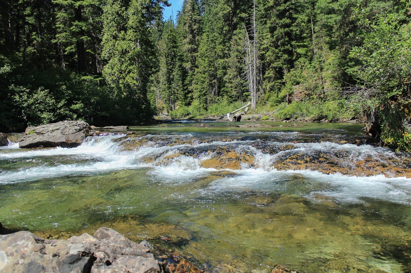
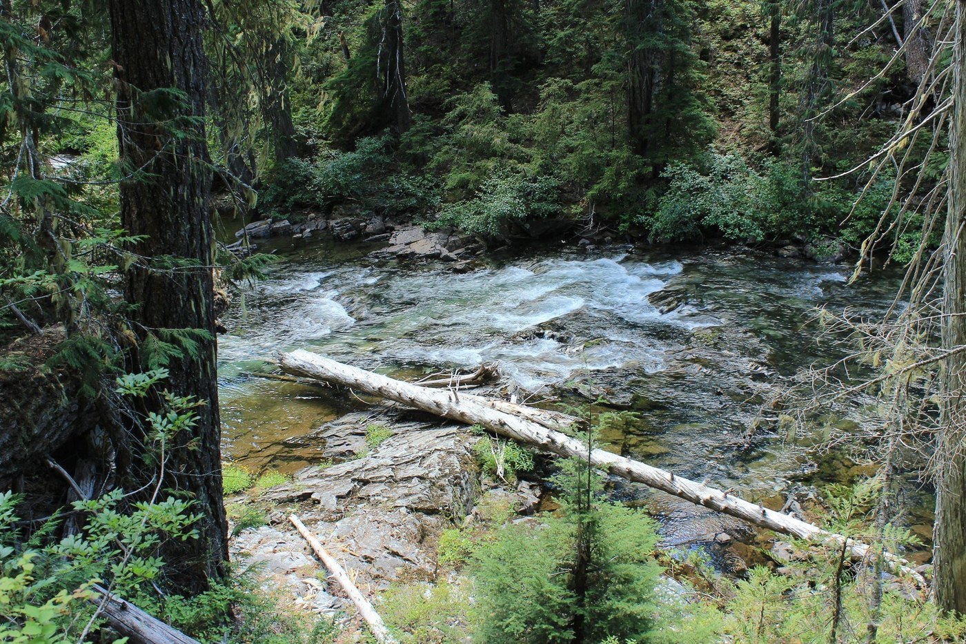
Hiked this trail last weekend, fairly level, I clocked 7.2 miles to where the trail seems to stop at the road that passes Cooper Lake. There are pretty views of the river when you can get access, with nice places to sit on the rocks to enjoy the view. The rest of the hike is above the river and through the trees, but it's nice to be in the shade when it's hot out. There is an awesome swimming hole right at the trailhead, plan for time to swim to cool off when you're done with your hike.
As far as directions to the trailhead, I have requested an amendment to WTA directions as they are confusing - see my amendments here:
Drive I-90 to exit 80 signed for Roslyn/Salmon la Sac. Turn north onto State Route 903. You’ll drive for nearly 15 miles, skirting Cle Elum Lake. Follow signs to the Salmon La Sac campground, arriving at a Y-junction in the road at the Salmon La Sac Campground. Go straight onto the gravel road at the campground entrance instead of turning left into the campground. Follow gravel road for approximately 1 mile, crossing the bridge over the Cle Elum River and following the sign for the Salmon La Sac Trail. Arrive at the large trailhead in another 1/2 mile and park considerately. Cooper River trailhead is at the same location as the Salmon La Sac trailhead, signage at the trailhead indicates Cooper River, Polallie Ridge & Waptus River trailheads.
Comments