
This was a three-night, four-day trip from Bridge of the Gods to the Williams Mine Trailhead on Road 23. I started on July 5, 2019 at noon.
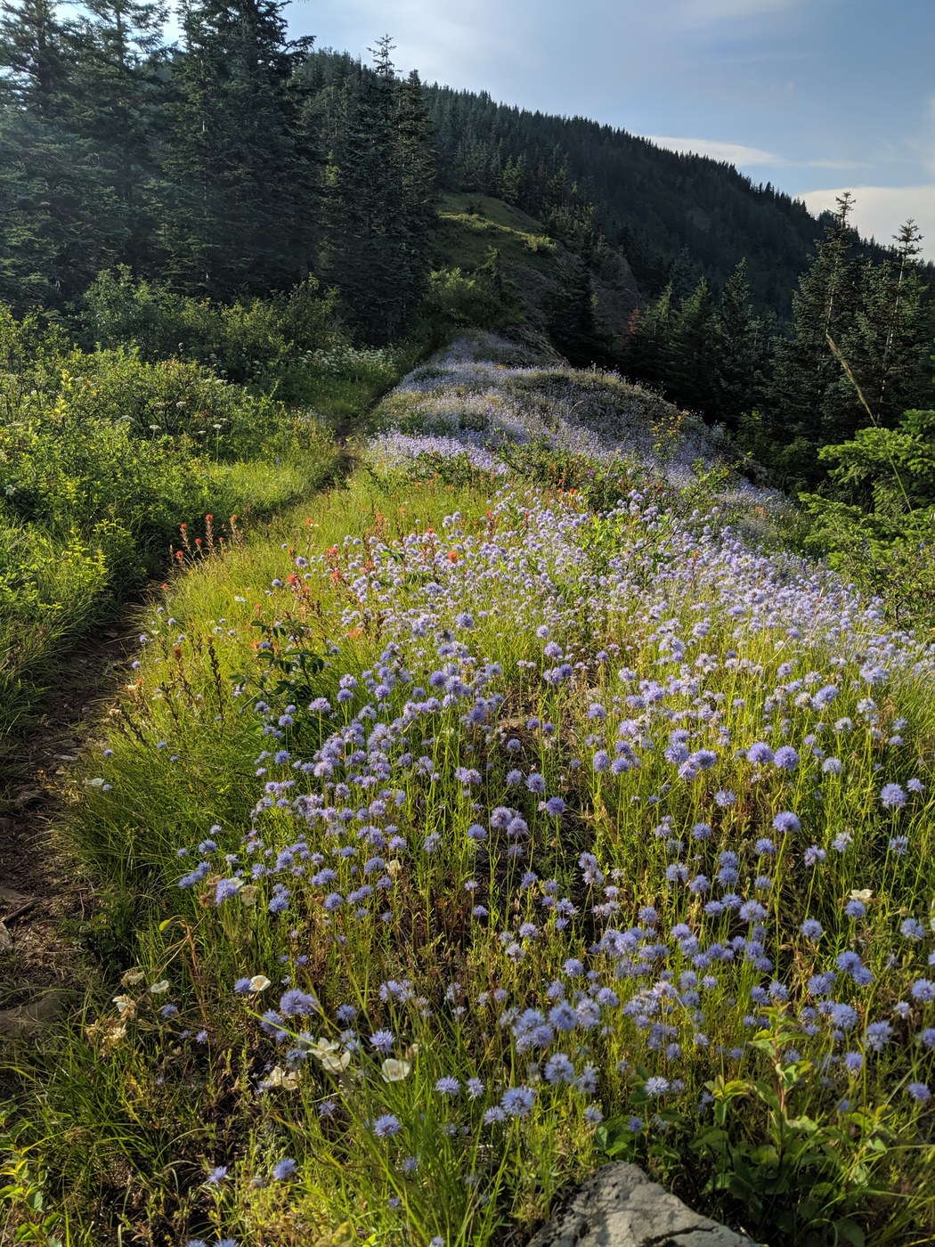
In the first few miles the trail is pretty brushy and another hiker mentioned poison oak on the sides. Otherwise, the trail is easy to navigate. About seven miles in you'll reach the last water source for the next 11 miles. (Some guides refer to a water trough on the Three Corner Rock trail in seven miles, but it doesn't exist, so don't bother hiking up there.) Shortly after the stream you'll reach the first of two information boards for Table Mountain. I filled up on water here and kept on going. After going past the power lines and up onto the ridge, I found a spot to camp in the trees. There were plenty of wildflowers to see along here.
In the morning things were a little soggy from some light rain and trees wringing water out of the low clouds. The trail was definitely overgrown in some places, so rain gear was necessary even though it wasn't raining. The water stop at Snag Creek (?) was lovely. I stopped to fill up, made a little fire to steam my shoes, and had a snack. The trail heads uphill for quite awhile but is in good shape. There's a nice view point above Trout Creek and then it's an easy couple of miles down to the creek. I camped here for the night, just before the footbridge. It was nice to camp near the creek - plenty of water and the chance to clean up a bit.
From Trout Creek to Panther Creek, the trail is nice and flat, making for easy going. The only navigation challenge you might have is when you hit the dirt road a mile east of Trout Creek. Turn left on the road and go about 100 yards to find the trail again. After Panther Creek the trail is really steep, so enjoy that chunk of no fun. Up by Big Huckleberry Mountain I got a cell signal for a bit. It's then smooth sailing down to the Big Lava Bed area, where there's a really nice camping area about a quarter mile before a piped spring. I had been planning to stop here for the night, but it was only 5pm so I kept going to Crest Camp, which is on a forest service road and has a privy. No water here, but there are picnic tables, so it feels luxurious.
Hitting the trail the next morning, there's a spot to self-register for a back-country permit, then it's steady uphill into the Indian Heaven Wilderness. There are lots of pretty little lakes tucked in here, some wildflowers, and plenty of bugs. The bugs weren't too bad while hiking, but when it was time to stop and filter water, they sucked a lot of blood. There were a few patches of snow across the trail, but they weren't an issue. I thought I might stop for the night at Mosquito Creek, but while taking a quick nap on the side of the trail, I decided I was making pretty good time and could finish up before 9pm. About five miles from the trailhead there's another really nice campsite just after crossing a footbridge over Grand Meadow Creek or Lake Creek (not sure which). I took a quick break for a little more food and water, then kept on going. There was just one more climb and then easy cruising to the Williams Mine Trailhead.
The whole trip was 81 miles in 81 hours. There was only one blowdown tree to climb over, so a big Thank You to all the trail crews who keep the trail clear. I think the bugs would have made camping unpleasant in Indian Heaven, so pack the bug spray if you're planning to linger there. I hope the thru hikers I met on the way are zipping through the Goat Rocks Wilderness with good weather today.


Comments