Quick-and-dirty version
Access: Stehekin, WashingtonRound Trip: 17.5 milesElevation Range: 1600′-8122′Gear: helmet, crampons, ice ax
Approach
- Take Lake of the Lake II ferry from Fields Point Landing to Stehekin, WA.
- Ride the Red Bus from Stehekin dock to High Bridge.
- From High Bridge, take the Pacific Crest Trail (PCT) through Howard Lake (formerly Coon Lake) to McGregor Mountain Trail.
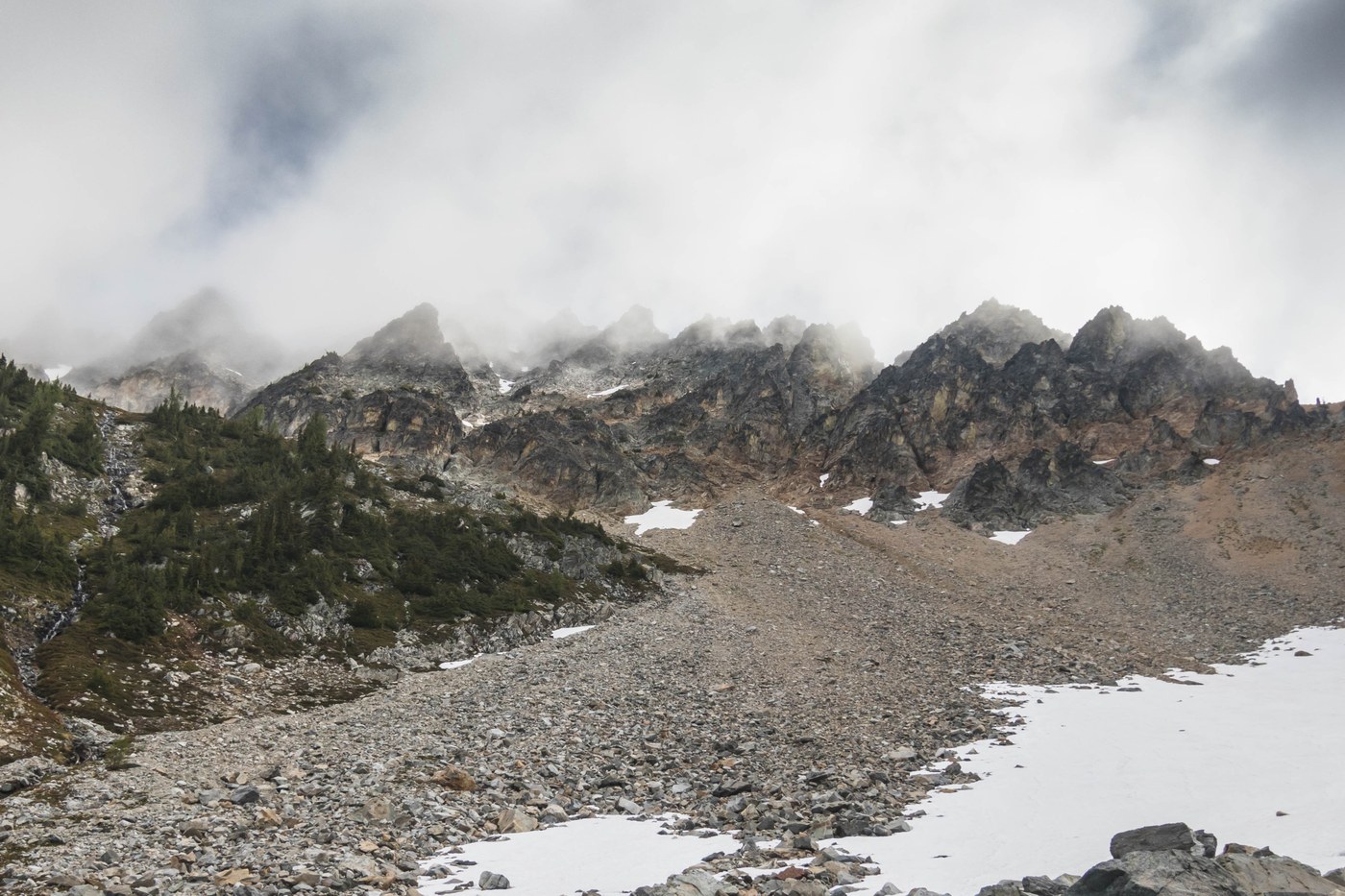
- Climb the switchbacking trail for 5.5 miles to reach the base of the mountain at 7200'.
- Follow red painted arrows and cairns through the access gully.
- From the west ridge, continue to follow markings and arrive at the summit with a radio tower.
Highlights
- Lady of the Lake II ferry and Red Bus
- Seeing Mountaineers friends on the ferry
- A scenic ferry ride to Stehekin on Lake Chelan
- Views to the south on the descent
Lowlights
- Short trip
- Stubborn clouds; no views in the final 1000'


Comments