
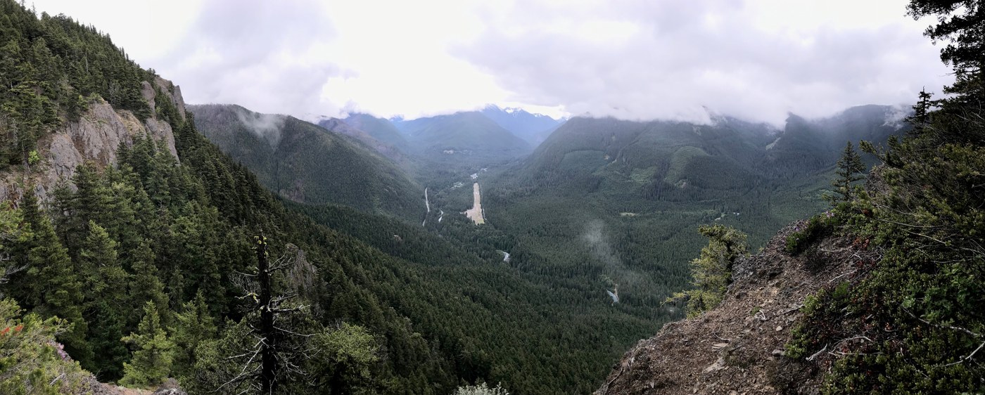
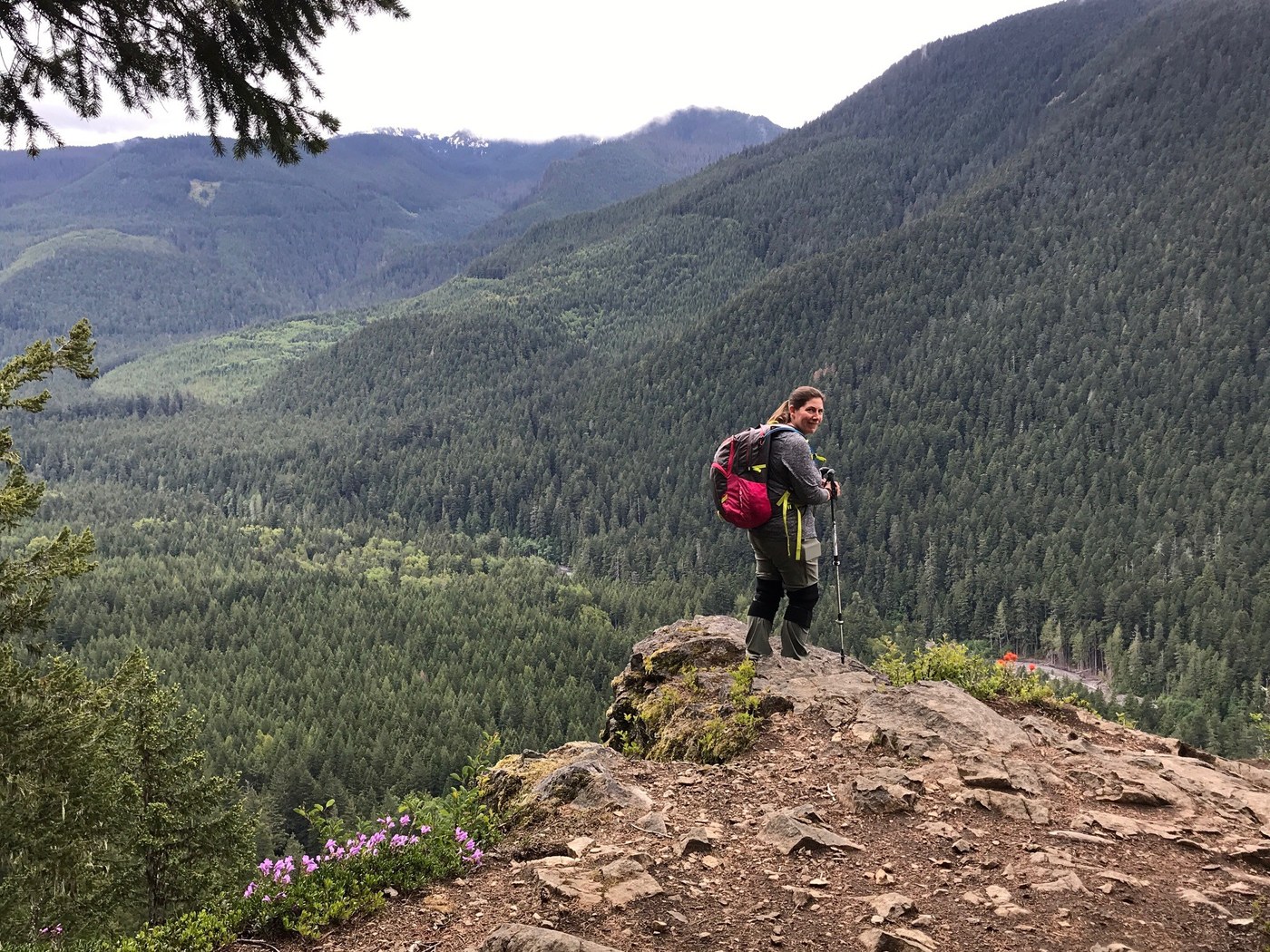
We started early on this knowing it was going to take time. We started near the Buck Creek area where the trailhead is not well marked. There is a small pull out off the main road just before Buck Creek and a few small trails that lead up to the trail signs. We chose to go with the counter-clockwise direction to take advantage of the lower degree of slope (the other end is steeper). The trail itself is fantastic and there are a few blowdowns but were easy to get over or around.
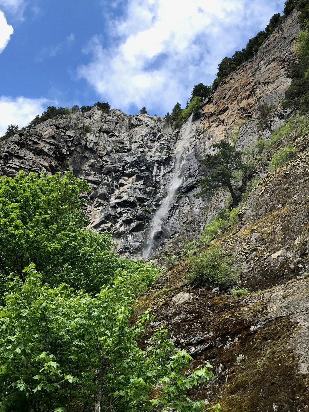
We got up to the peak and followed the ridgeline down to the other end and down. We then took the trail up to Snoquera Falls. The falls were nice, but not a ton of water coming over, think we were a few weeks late.
We loved the hike and did not see many people, maybe 20 over 15.5 miles.
I will add, there appears to be a bust in the actual trail vs what is shown on GAIA and SARTOPO when it comes to the transition from Snoquera to the White River Trail. I think there's an extra switch back in there not shown on the maps. We ended up going cross country for a small stretch and then down a finger reconnecting with the trail. Not a big deal, but not accurate. I just followed my GPS and got to where we needed to be...was kind of fun actually.
Comments