This trip report is for Blue Lake Trailhead to some point between Blue lake and Huckleberry saddle. I was short on time and found a spot along the trail that compelled me to stop and just drink in my surroundings.
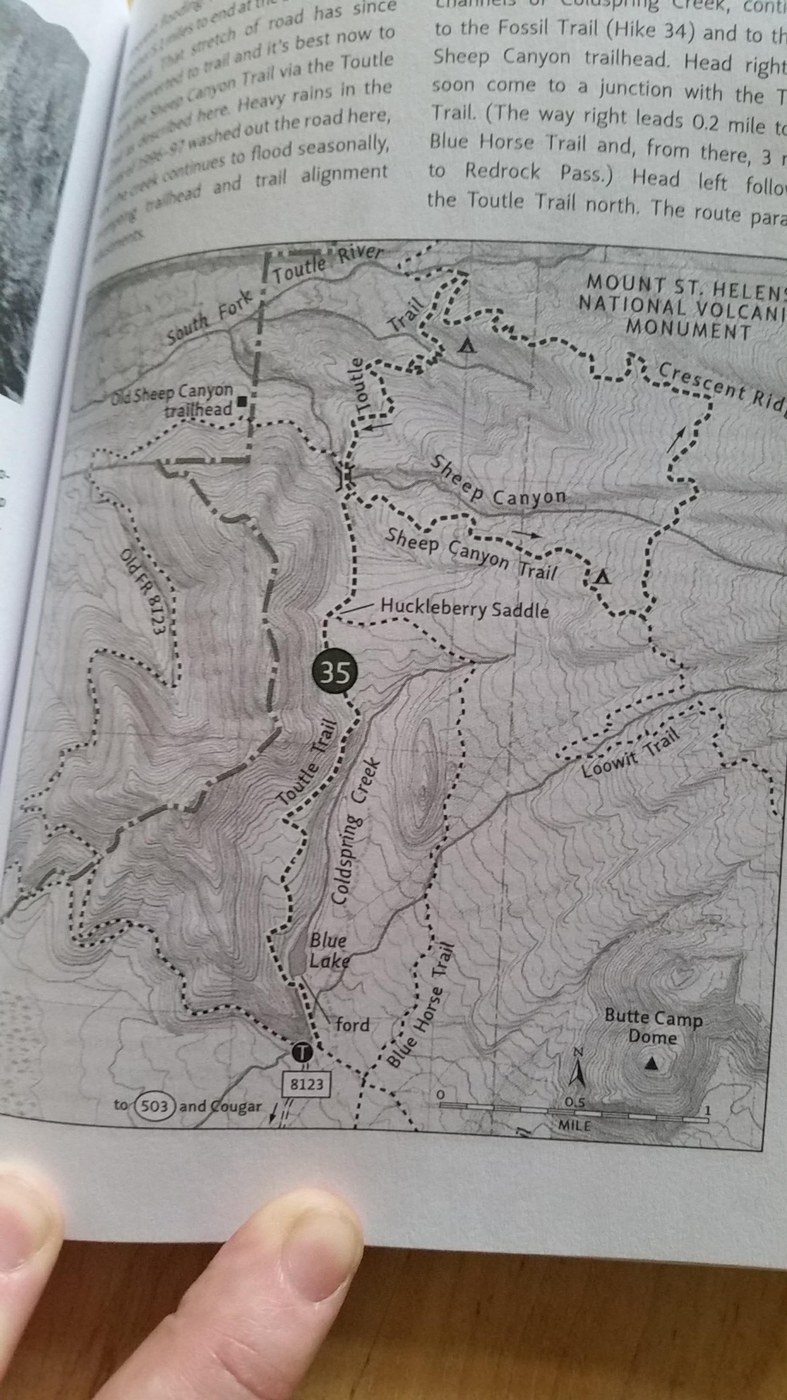
First off, driving directions, coming from the Woodland area. Knowing the general directions, I didn't realize I didn't have my GPS turned on until I was about to Cougar and then I didn't have a strong enough signal to get turn-by-turn, so I went by the book, Day Hiking Mount St. Helens by Craig Romano and Aaron Theisen, published by Mountaineers Books (I had it with me, just in case). Forest Road 81, the turn off of 503, isn't marked as such, but is well marked with signs for Kalama Horse Camp and Merrill Lake; it is a turn off to the north. The book makes it sound as though you're going to just follow this road straight until it ends. Don't. You will end up on logging roads and not where you want to be if you're trying to get to the Blue Lake TH. My guess is that the road used to make a curve to the right and the logging road wasn't there. You will need to make a right hand turn to stay on the paved road. You will pass Kalama Horse Camp on your right. Keep going. The road turns into 8123 if you go straight where it turns to gravel; keep going straight. It's 2.5 miles to the end and the trailhead, not the 1.5 miles printed in the book. I don't know if they were able to extend the road since the 2015 printing or what. The gravel road does get rough in places. From what I understand, this used to be a "real" road until the floods of '96 and it hasn't been maintained. I have a POS 2 wheel drive that I scrape on parking lot curbs all the time if I pull too far forward and I didn't hit bottom once, so unless your vehicle is lowered or something, you should be fine.
There's no parking lot, just side of the road. There were 3 other vehicles parked when I got there, all on the opposite side of the trailhead, so I followed suit. There are no maps or anything, so don't count on taking a picture and using that for navigation. Not that I recommend doing that anyway. The other vehicles were displaying Discover Passes, but this is in the Mount St. Helens National Volcanic Monument - you need a NW Forest Pass.
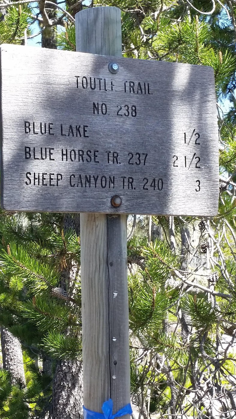
The trail starts out with mixed rock and ash. At the first crossroad, not far into the hike, take a left to head toward Blue Lake, 1/2 mile. Soon after, you will come to a dry gully. Not sure if this was once a creek bed, mud flow, or what. I crossed paths with a gentleman who had been there several times (it was my first trip) and he said it was always empty. We were both trying to figure out where the trail picked up on the other side. Our side was marked with an orange reflective triangle on a tree trunk and orange trail tape, but there was no corresponding markers on the other side. I finally spotted a series of two cairns and we followed them to the opposite side. My fellow traveller remarked that there should be a crew coming along soon to do some trail maintenance and wondered aloud if the crossing farther up the trail was passable. I could hear the creek he was refering to from this point.
The trail does not make a beeline for Coldspring Creek from here, but heads upstream a little. At one point, I think the trail makes use of an old creek bed or mud flow, then heads back to the creek. There are 3 sections of boards that have been laid across the creek for crossing. They're not wide, just two 2x4s nailed together, but they get the job done and have been placed recently. The guidebook and map refer to this crossing as a ford and had me a little hesitant to make this trip, but I needn't worry. The water wasn't terribly deep, but cold and rocky, which probably means slippery, so if you go and there aren't boards to cross on, please be very cautious and use good judgement if you choose to ford.
From there, there isn't much to tell. The rock and ash is left behind and it's all dirt from here. Access to the lake is limitted. There is something of a trail that appears to go around. I'm not sure if this is a trail that has pretty much been abandoned or a user created trail; I didn't have time to explore very far.
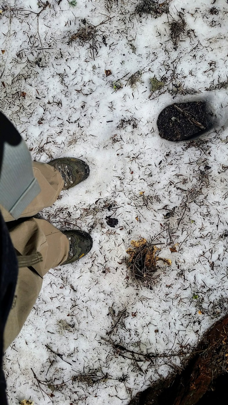
Continuing beyond the lake, there were a few very small patches of snow; maybe 15 feet wide. Not slick and not too sloshy yet. Elevation gain was gentle; a few steps built in here and there. Lots of huckleberry, wood violets, and trillium. Just lovely. Treated to the drumming of a woodpecker; I thought it was a pileated, but I never made out that famous red head, so don't quote me on that.
Camping nearby that I did not take advantage of: Dispersed camping outside of the monument, Merrill Lake, RV hookups & Cabins available in Cougar (12 miles).
Hope this was helpful. I know I look forward to going and spending more time without spending time driving around following not quite accurate driving directions.


Comments