Hike GPS data for Google Earth viewing
Per Garmin, 10.25 miles/2,398 vertical feet.
Through Hiked: Spouse dropped me off while on errands and I hiked back to a stashed bike. It's really liberating not having to go back to where you started.
Parking Lots: Plenty of parking at the Newport pull-out, Red Town, and Sky Country.
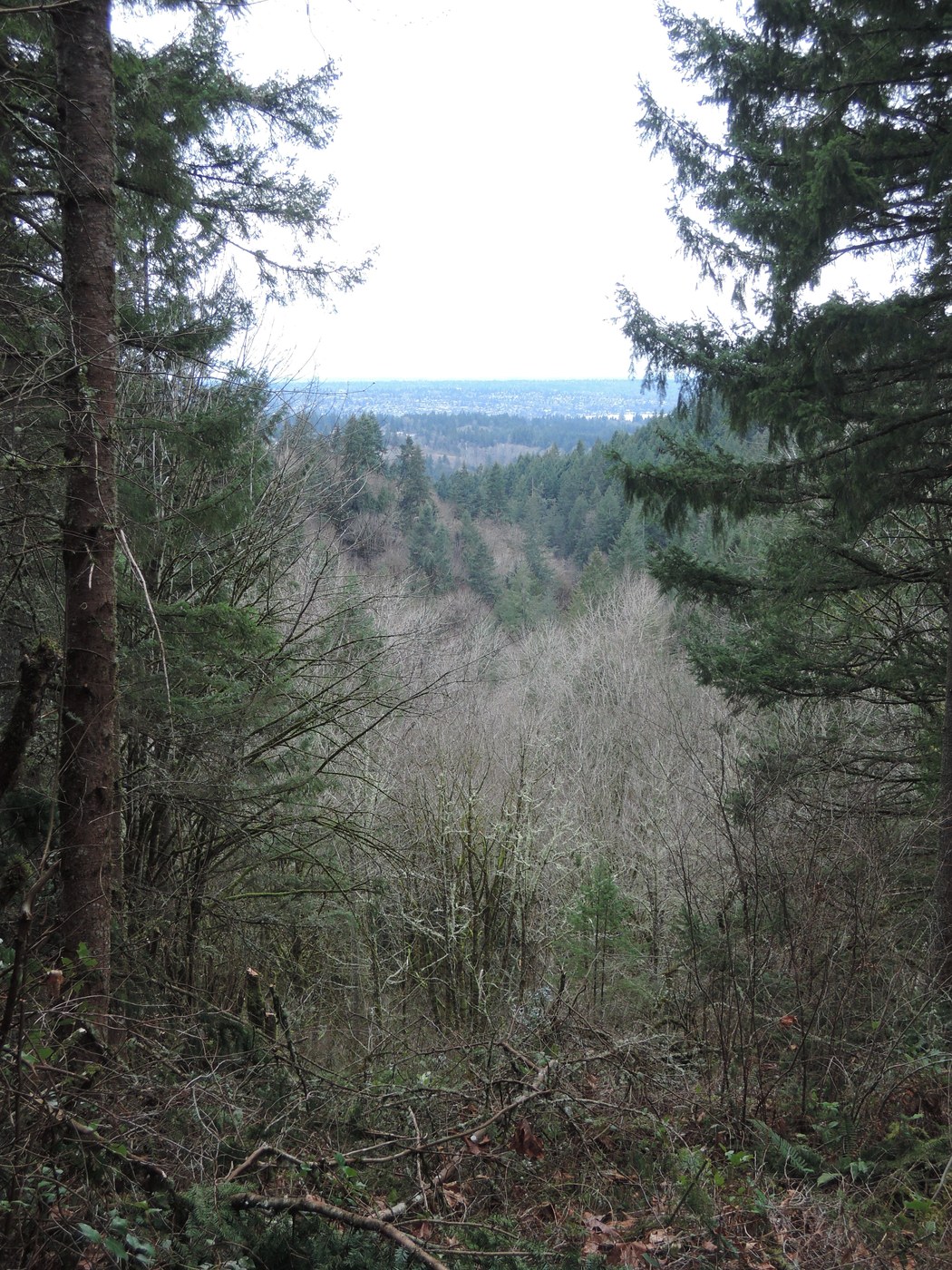
Weather: With the wood smoke, more autumnal than vernal, but still lovely hiking in light gear; doesn't feel at all like winter.
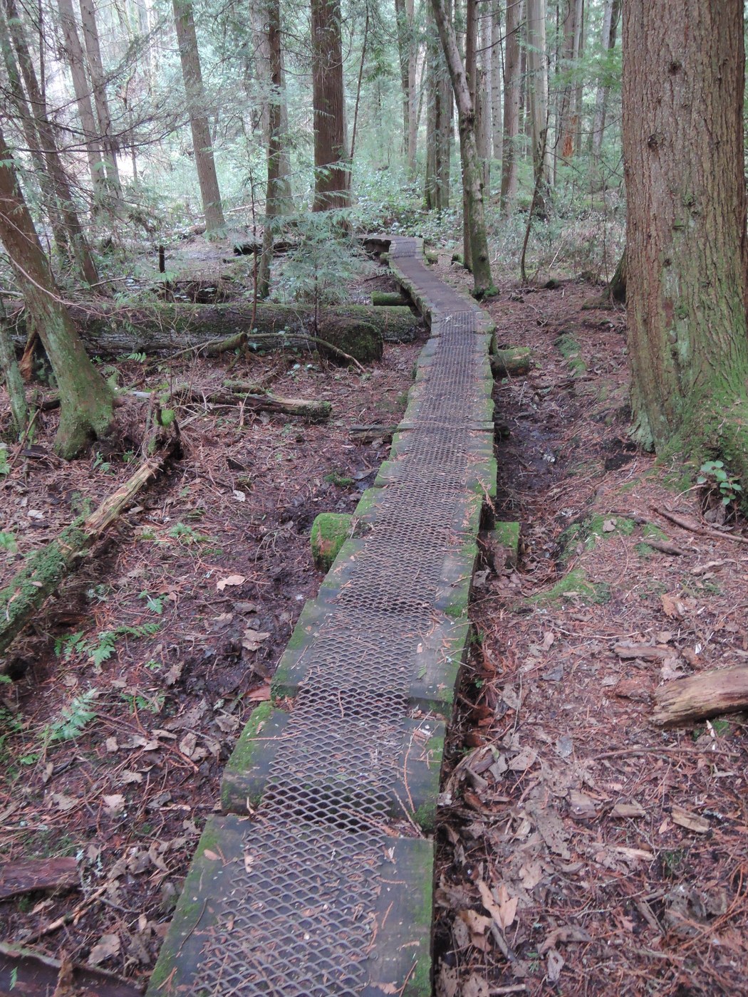
Trail: Mostly clear with good traction. There is a little more mud than there has been recently, mostly in boggy areas or where the soil has a lot of clay. Nothing you can't go around.
Tree Obstacles: Drifts of sawdust are the remnants of the massive King Country effort to clear the trails. There are still trees down, but I could just step over all but one. If I were taller, I could have stepped over that one.
Wildlife: Singing birds, croaking frogs, chirping squirrels; things are really waking up.


Comments
Maddy on Red Town Meadow & Trails, Big Tree Ridge, Red Cedars, Surprise Creek, No Name, Shangri La, West Tibbett's Creek Trail (#COUGAR-E10) , Tibbett's Marsh, Clay Pit Road, Mine Shaft Trail, East Fork, Fred's Railroad, Shy Bear, Far Country, Indian Trail, Marshall's Hill, Wildside Trail-De Leo Wall, China Creek, Cave Hole, Red Town Creek, Military Road, Sky Country, Nike Horse Trail, Old Man's Trail, By Pass Trail, Klondike Swamp, Coyote Creek
Bravo to King County for clearing the trails so fast. They have been outstanding over the years with land acquisition and maintenance. I'm grateful that at least one level of government functions well.
Posted by:
Maddy on Jan 18, 2019 06:45 AM