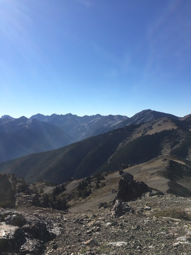
Been eyeing this Peak since I did Mount Townsend. I decided to give it a whirl today and I wasn’t disappointed. Getting to the trailhead is pretty easy. You go like you’re going to Tubal Cain, and you make a right onto 270. It is a small road, and has rockfall on and around it. If you are driving a low clearance vehicle be cautious. The trailhead is to the right of the upper Maynard burn trail. It’s the one that goes up. It keeps going up in earnest for about a mile and a half with a couple of flat sections. Once you break out of the forest, you start up some comically small switchbacks. Like, practical joke small. They gain altitude pretty fast so I wasn’t really laughing. You next come to a meadow that has more of boot-path now. It is still very easy to follow and even has some cairns in key places. The path dead ends just below Peak B, and continues in east and west directions. You can either head to Baldy or Tyler. I followed the path to Tyler along the ridge. It’s up and down a couple of times until you come to the false summit and get a nice view of the objective. It looks intimidating from a distance, but it’s not so bad. Of course this is the Olympics and with that comes scree. You are on it all the way to the summit, but it really isn’t a problem. I didn’t have any issues with footing. Just below the summit is a bit of a scramble up a small chute. It’s pretty easy and actually a bit of fun. Plenty of handholds and secure footing. Once atop the summit, enjoy the view. I had a perfect day to see the surrounding peaks.
I have to say the trail was in way better condition than I anticipated given that it isn’t signed, and as far as I know, it isn’t even an official trail. I could be mistaken though. (Wouldn’t be the first time). It appeared that recent trail work had been accomplished as well.


Comments