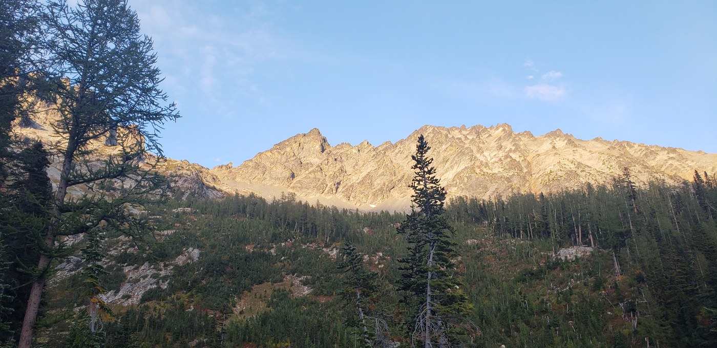
Got to the Phelps Creek Trailhead via the Trinity Sign postings off of Chiawawa road. The road up to the phelps creek road junction are passable by all vehicles but the rest of the distance to the trailhead should be done in a higher clearence vehicle as my toyota Yaris was almost bottoming out in a lot of places. We arrived at the trailhead around 230 PM on Saturday then headed out with our group of 6 by 3pm. The first three miles are a joke in terms of elevation gain but things change when you hit the Leroy Creek junction (which we did around 415). This is a great place to take a breather or cache up on water as the stream was running strong.
Once on Leroy, the incline is pretty rough and hard to get used to from the flat section so I would advise taking your time. We hiked from the base, up to the Leroy basin where there are at least 3-5 camping spots laid out within the area for those who want to setup camp for the night like we did. At 7:30, 30 minutes after we arrived, we finally started eating our food and went to bed around 8:30 with a 6:15 wake up time to head up Mt. Maude. We, lollygagged as usual and left our camp at 8:15 AM and reached the south face Saddle around 9:30 for a quick stop and snack, which is a great spot to do so and possible camp if thats allowed there.
From here, it took us another hour and half to reach the base of the final approach, near Ice Lakes. The scree fields here had 3 or 4 small patches of snow, making for another dusty section to navigate. This final approach is pretty brutal on the knees as my gps calculated something to the effect of 1,700' of elevation gain over the course of 1.5 miles. It took us from 10:30 to 12 to reach the top but we finally made it with the sun coming out and clouds moving about. We soaked in the views with a quick lunch for half an hour before starting back down. The views are some of the most exposed and panoramic views that I've discovered, with a front and center seat to Glacier Peak in all its glory.
From the peak back down to Ice Lakes, we ran out of water and made good use of a couple small puddles at the base of the scree to filter out some much needed water. We showed up at the Saddle at 2PM and made it back to camp by 3:15, which was faster than climbing but still slow for us and behind schedule. We packed up and left our camp at 4 and reached the bottom of the steep elevation (Leroy Creek/Basin Trail) section with much joy at 5:15. As mentioned, the last three miles were flat but still painful when speed walking with a full overnight pack back to the car. We hit the car at 6:30 and gladly left the trails behind us for beers in Leavenworth.
The parking lot was full when we left on our trip but we only encountered 3 groups of about 3 people each, making for a very quiet and secluded hiking experience. My group did not train in the slightest for this climb, so we did suffer from the calf burning uphill this climb most definitely advertises and offers. We did see one relatively fit guy who did the entire thing as a day climb so it is definitely doable.
Hopefully I provided enough details and if not, I can try my best to answer any questions you might still have.


Comments