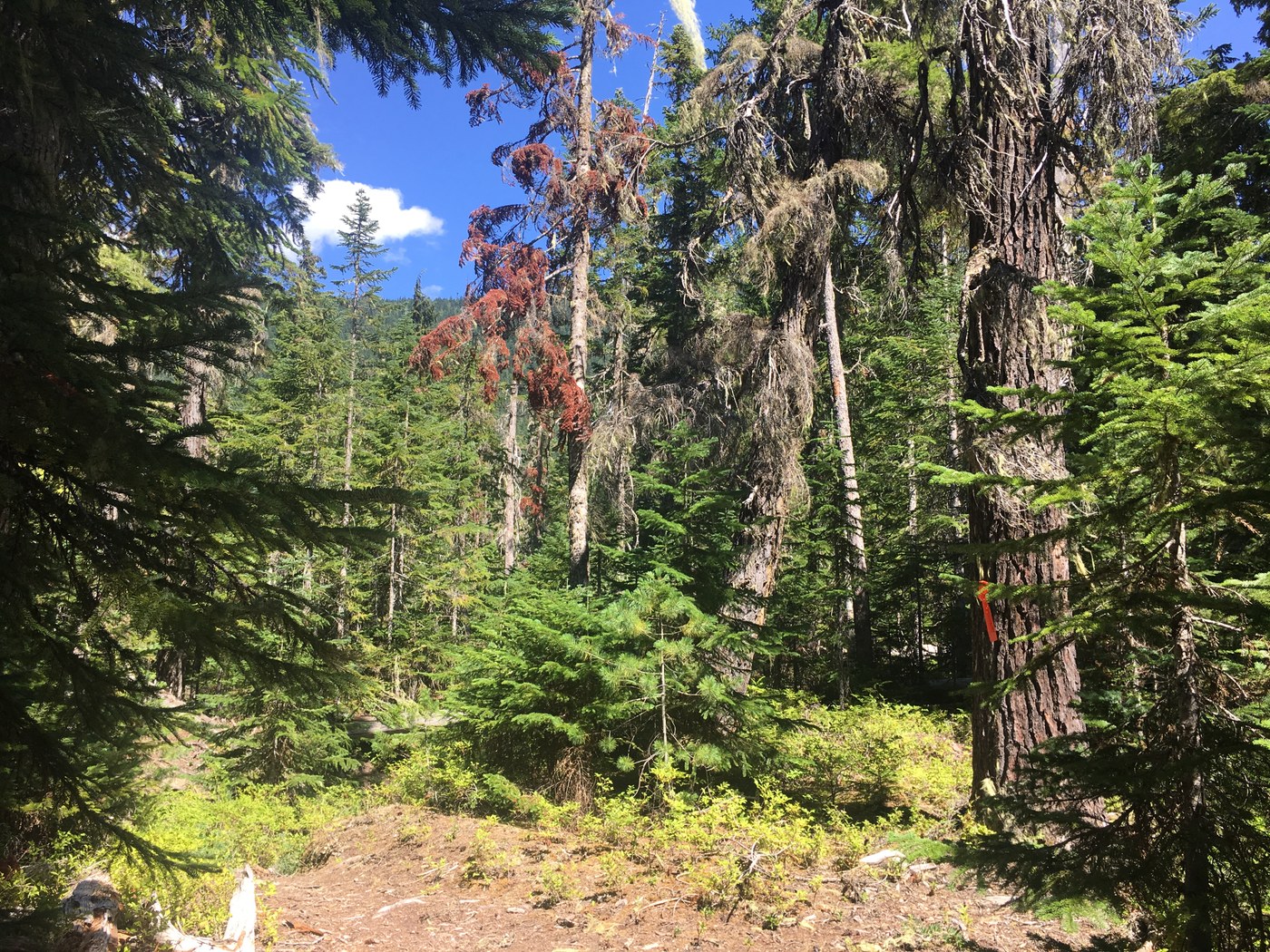
Inspired by my folks’ 2001 trip and Hulk’s 2015 report, I visited Gamma Ridge. Happy to report that just in the past month or two the Gamma Ridge trail has received some long overdue maintenance!!
Slept in my truck and hit the Suiattle trail at dawn. Great shape except the multi blowdown spot. The “new” PCT section between Canyon Creek and Vista Creek is a highway including the awesome Suiattle bridge. There’s a narrow natural bridge across Vista Creek practically in the same location as the old washed out stringer bridge. There’s a portion of the old bridge resting on the east bank, and the Upper Suiattle trail (former PCT) is just behind it. Beyond Vista Creek the trail is not maintained but is getting a surprising amount of traffic and easy to follow. My GPS got 1.7 miles from PCT at Vista Cr to Gamma trail. You can stone hop across Gamma Creek and there’s also a large natural bridge to use when high water. Large tree obscures trail on east side of the creek (parallels trail for 100 feet) but you pick up trail on the other end of the tree. Further in there’s a very large Doug fir across trail that requires detour off trail. The trail junction 0.25 mile before Gamma Ridge trail is not obvious but take a sharp right there (photo).
At the start of Gamma trail there is a “scarecrow” (photo). Yes, that’s a chainsaw chain around the chest and a nearly new small chainsaw bar and cover at the feet. Odd. Looks like most of the recent traffic has continued up the Upper Suiattle from this junction. In the first mile of Gamma trail there are intermittent stretches that have been logged out this summer, along with brushing adjacent to the cut logs. In between these maintained stretches little work was done but the trail isn’t hard to follow. For about 100 yards below and above the campsite at elevation 3400, the trail is difficult to follow, partially destroyed by streambed, and has no recent maintenance. But there are some flags. There are two streams in close proximity here, first one is dry (adjacent to campsite) but second one is flowing nicely (just at base of switchbacks). Last water until elevation 5500. Just above the flowing stream the trail becomes clear as switchbacks ascend the ridge. The partial logging out from this summer continues to about half way up the switchbacks. Beyond there expect minimal maintenance but occasional flags will guide you. There are several large blowdown on the switchbacks that are moderately difficult to cross. At about 0.9 mile above 3400 ft campsite, pink flags take a detour off trail straight uphill then rejoin. Silver fir saplings obscure much of the trail here for the next 0.2 mile to elevation 4670. This is where the trail gains the ridgetop and the “jack strawed mess” described by Hulk begins. This blowdown stretch goes for 0.25 mile (look for flags). After the blowdown mess the trail is difficult to follow up to elevation 5340 but brush is light and intermittent sections of trail can be found. Pick up the trail again on the ridgetop before it makes a long switchback to the left and back (thicker brush). Hornets nest at 5420. Pretty easy to follow trail from here on. Campsite at elevation 5500 with small spring on Dusty Creek side. From campsite to elevation 6020 trail easy to follow through subalpine meadows. I turned around at 6020 where the trail apparently ends and open meadows abound. Gamma Ridge trail to elevation 6020 about 3.7 miles. I didn’t find any snow and couldn’t see any nearby from 6020. The cloud ceiling was hovering just below Miners Ridge and Image Lake, across the valley to the north. Wispy clouds moving up the valleys made for a cool time lapse (YouTube).


Comments