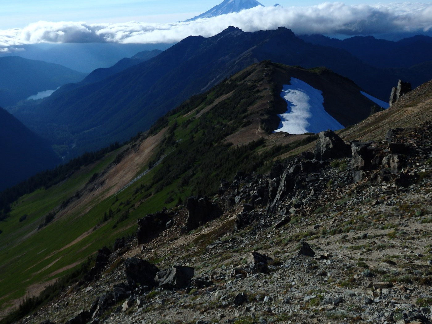
What started out as a four-night, leisurely car shuttle route to explore the NW quadrant of Goat Rocks, turned into a three-nighter, followed by a hasty evacuation due to a relentless thunder storm. We completed the clockwise route, just quicker than planned, beginning at the Lily Lake TH (also known as the Clear Fork Trail #61), followed it to its junction with the PCT at Tieton Pass, then followed the PCT south to the Snowgrass Flats area. From there we hiked cross country to pick up the Lily Basin Trail #86 and followed it (eventually racing) out to its trail head under a barrage of hail, thunder and lightning. Bugs were not a problem on the way out.
Roads to trail heads: most of the route to the Lily Lake TH is in very good condition except for the final quarter - half mile which is very rough and rocky. No problems for standard pickups or Outbacks but regular autos could lose their oil pans if careless. The road to Lily Basin TH is in very good condition except for one, quite deep, washed-out trench across a steep pitch in the road a couple of miles before the trail head. Without high clearance and FWD, you'll likely bottom out and just spin your tires trying to navigate over it.
The trails: First off, be aware the Lily Lake trail does not take you within visual of the lake - never saw it, nor even a hint of a social trail that would have led to it. There has to be one but not one of the six of us saw one. The trail however was cleared of fallen trees this spring all the way to Tieton Pass so that much was great. The tread is deteriorated and overgrown in a few places but nothing a novice couldn't handle. Coyote Creek flooded its banks and wiped out quite a swath of terrain. Crossing the creek is simple and knowing where to head to cross is sort of marked with blue and red plastic tape. Be prepared to poke around a bit to discover where the trail picks up on the other side.
The PCT up the Knife Edge is quite rocky (loose), and way steeper than it was 15 years ago when I last hiked it. I think this earth-tilt thing is for real. Traversing Old Snowy was no problem - one small snow patch with decent foot impressions otherwise you're on rock the entire stretch. The stretch of trail down to Snowgrass Flat is impressively torn up with large rocks cluttering most of it. Hard to imagine all of that rock debris is due to just human feet.
The Lily Basin trail is truly a mixed bag. From Snowgrass flat up past Goat Lake to its junction with Hawkeye Point it's in pretty decent shape except for the really steep stretches where the tread is littered with loose rock. The notorious snow bank just north of the junction is alive and well. Three of the group elected to detour around below it. Three of us kicked steps, very carefully, across it and made it to within five feet of the tread below it, but at that point the bank was so steep we lost traction and slid off. Fortunately, it was only a five foot drop to the trail. Two of us 'stuck' the dismount, one continued with a short dirt and rock glissade. Detouring below it requires a very delicate descent, or a truly laborious grunt back up depending on which direction you're traveling. The remainder of the path up to the junction with the Angry Mountain trail is a bit harder to evaluate. We were at Heart Lake when the storm descended and the entire trail up to that junction was a raging stream of muddy water. Before the deluge, I'm pretty sure it was in good shape.
The really fun part came after the Angry Mt. jct. The following 2.5 miles was covered in up to 3" of slushy hail. Of that stretch the truly rotten part was the entire traverse of the west side of the Johnson massive. It's a good mile of very lose tread, nonexistent tread, and around a dozen steep gullies to get over. None were more than five feet deep or very wide, but at the time most were filled with rushing brown water and the lose, crumbly "moraines" on each side sometimes gave away when ascending or descending them. Had it not been for the residual hail, the remainder of the trail would have been an absolute treat. Once below around 5200' the hail disappeared and we happily cruzed the rest of the way. Gratefully, the entire path had recently been cleared, and there was an impressive number of fresh cleared tree-fall. The fragrance from all of the fresh cutting took "forest bathing" to an extreme!
For a delightful and at times stunning day-hike, hiking the Lily Basin trail up to the start of the Johnson traverse and then turning around would be a charmer if you don't mind the drive.
Bugs: very few mosquitoes anywhere along our route. Black Flies made up for it, particularly at the lower elevations. Falling hail is a very effective deterrent.
Flowers: in full bloom at the lowest elevations, in mid bloom at the highest.


Comments