

First off, the road is quite rough and steep, although there aren't many pot holes or washouts, so clearance wasn't an issue. The biggest problem is the steepness and loose rocks. My tires slipped a couple of times and I had to be careful going down to not gather too much speed. For this reason, I'd recommend a 4 wheel drive vehicle. The worst part is right before and right after the 5th switch back (the last left hander). There's a place to park right before that, so if you don't feel comfortable, I'd recommend parking there and walking (probably about a mile from there, there were about 3 cars there on my way back). The second thing about the road is that it does not match google maps at all. Its signed for FR 4096, so its easy to find. If you have the Green Trails Map, its exactly as drawn there.
When you get to the trail head, don't continue to follow the road. The trail is to the left, maybe 10 feet before the fire pit. Its marked with a "temporary" trail sign and several orange and pink markers. I made the mistake of hiking down the road last year and never found the actual trail.
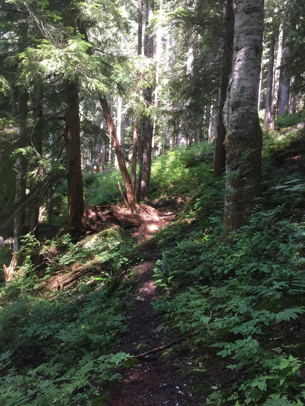
The first mile and a half of trail is in pretty good shape. There were probably something like a dozen blowdowns, nothing impossible to get over. The tread is good and easy to follow. However, the brush is quite thick in sections (nettles, raspberries, bracken, etc.). It was also very wet. Unless a trail crew beats back the brush, I'd strongly recommend long pants and long sleeves. One the way in, I did note the climbers route, its well marked and off to the left. The creek crossings before Bedal Creek were no problem.
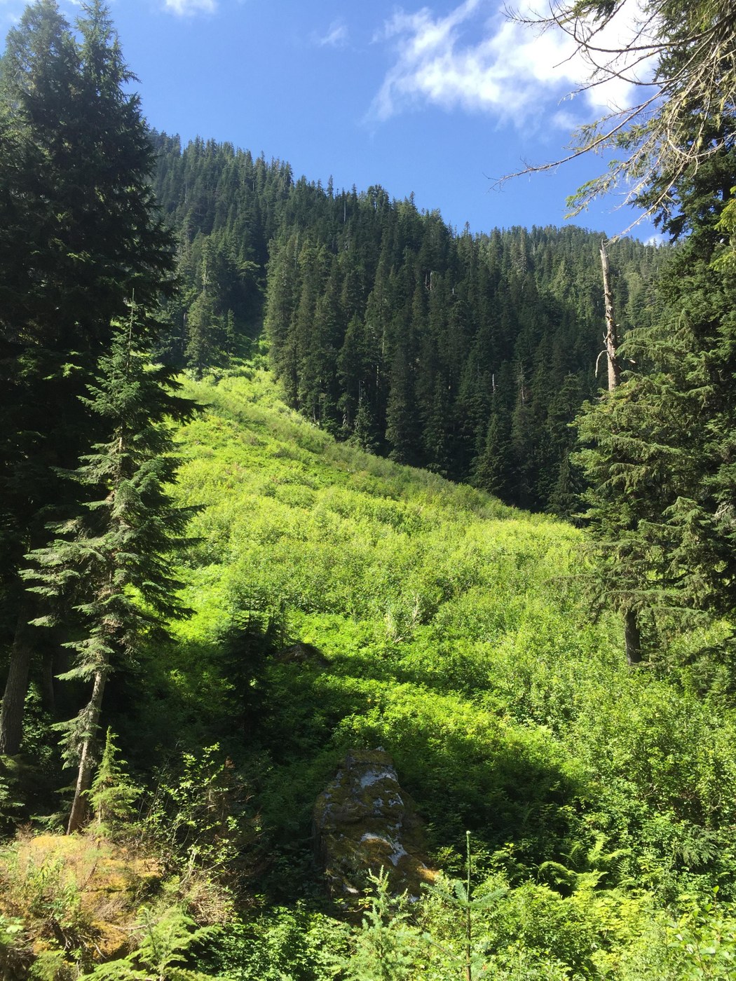
Once you get to Bedal Creek, as the guide book (Day Hiking: North Cascades is what I'm referring to here) says, things get a bit more interesting. The creek itself is not hard to cross at this time. However, the banks can be steep and full of loose rocks. There is a marker across the creek, which I didn't see on the way in, but if you do see it, cross approximately there and go perpendicular to the stream to find a trail. You will find an actually trail there and that is easy to follow and takes you up between the two creeks as the guide book says. Unfortunately, I didn't find that until the way back. On the way up, I basically followed the creek bank, alternating between banks when possible or sometimes just up the creek. Its quite slippery, so be careful (also just use the trail I mentioned above). There was still some snow on the banks. The "lone big yellow cedar" is still there, you can't miss it. When you see that, make sure you are on the right bank. Just above that look for a cairn to the right near the bushes that takes you onto an actual trail again. That trail is quite overgrown and marked with cairns at times. It does go up a small creek at one point. Keep looking for cairns.
Unfortunately, at the end of that part, it looks like the trail has slid into the creek. I think this is right were the guidebook says the trail should go back into the woods and up into the basin. I was at 4450' and could see the side creek, but I couldn't find a way to climb the creek banks or locate the trail into the forest. So this was my stopping point. It might have been possible to bushwhack or scramble, but I was tired at that point and there was a decent view of Mt Forgotten and Sloan Peak. I know I was close to the basin, but hopefully there wasn't an 'easy' way that I just missed (please let me know if there was).
On the way back, I stuck to the dry rocky creek bed, which is marked with cairns. I didn't see the entrance to the trail between the creeks, so I ended up going down the other creek. That wasn't fun, so I eventually decided to head perpendicular to get back to the northern Bedal creek. There I found the trail and used that. So, I imaging if you used that trail in the first place, then you would know where it comes out into the rocky creek bed.
This trail really isn't too hard if you know where you're going. But that's easier said than done once you get to the Bedal Creek. However, the views are really good. Its also a good place for privacy as I saw only three other groups. Hopefully someday the Forest Service will fix up the road and the last part of the trail. When they do, I'll be back.

Comments
EckartS on Bedal Basin
Matt: You wrote: Banks of Bedal creek are steep and have loose rocks: Yes, indeed, when we hiked it 20 years ago, the bank collapsed under my wife (she is not very heavy) and she nearly broke a rib hitting the rocks with a heavy backpack on her back packed for overnight camping.
Posted by:
EckartS on Aug 08, 2018 08:52 PM
matt030709 on Bedal Basin
Wow. That's scary. I can definitely see how that could happen.
Posted by:
matt030709 on Aug 09, 2018 08:08 PM