
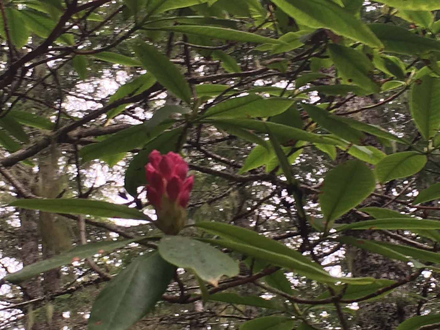
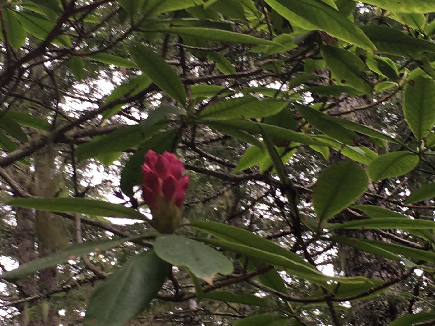
Ran out to see the rhododendrons since the mountains were all in the clouds. Only blooms on exposed part of the ridge and down by the road. Plenty of buds higher up, lower down still thinking about thinking about having buds.
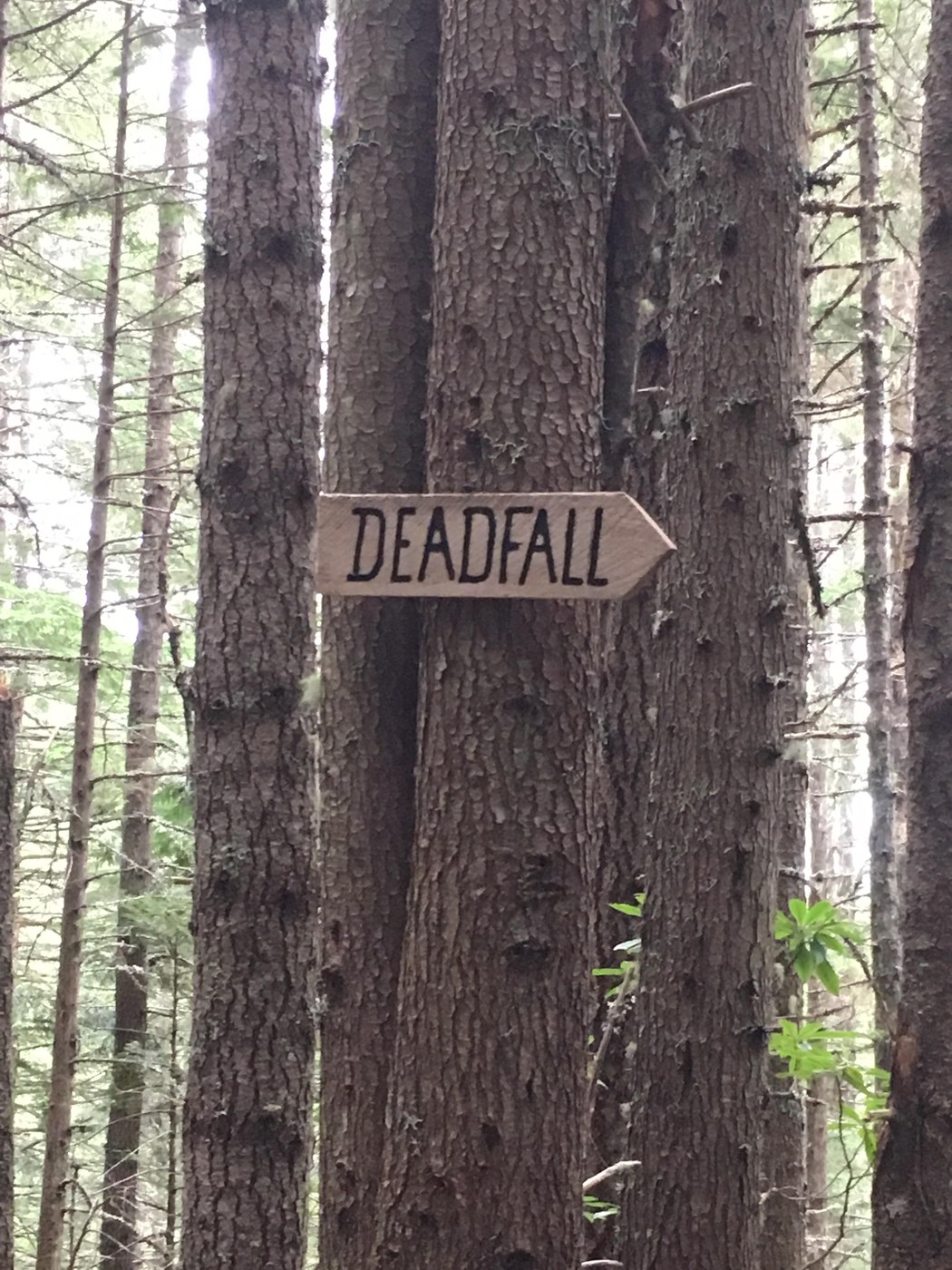
Mostly wanted to put this report in because of the report before that the intersection was at 2.8 miles from TH. I ran my GPS (since I was by myself and am prone to wander off into game trails "to check stuff out",) and according to the gps I hit the intersection to go to Zion at 1.55 mi (and yes, I took the left fork to Zion). It's very well marked. You look up and there's a HUGE capital letter sign for DEADFALL pointing downhill from where you came. If you hang a left there you immediately see an equally huge sign for mt zion
Comments