
Just a few things to pay attention to:
1. Distance. The trail is significantly longer than declared. Our GPS measured 6 miles one-way, i.e., roundtrip is 12 miles but not 9.
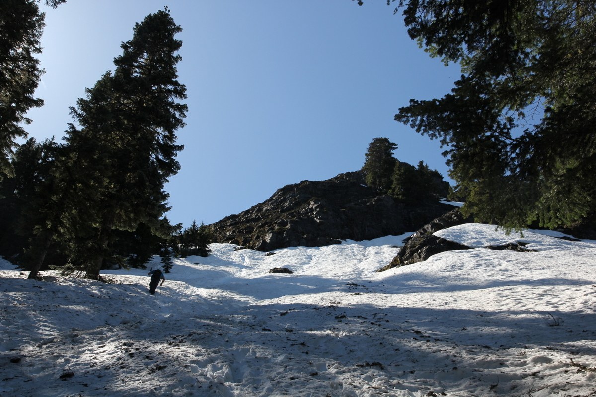
2. Snow. The last 2.5 miles are completely covered with snow, and conditions are vary from hard-packed firm snow in the shadow to deep melting fileds on open meadows. I was able to do it in ordinary trekking boots with trekking poles, but my wife at some point decided to put on her crampons. At the same time, light ice-axe to stop youself in case if you fell and started sliding may be helpful. Waterproof boots and spare socks may be a very good idea too.
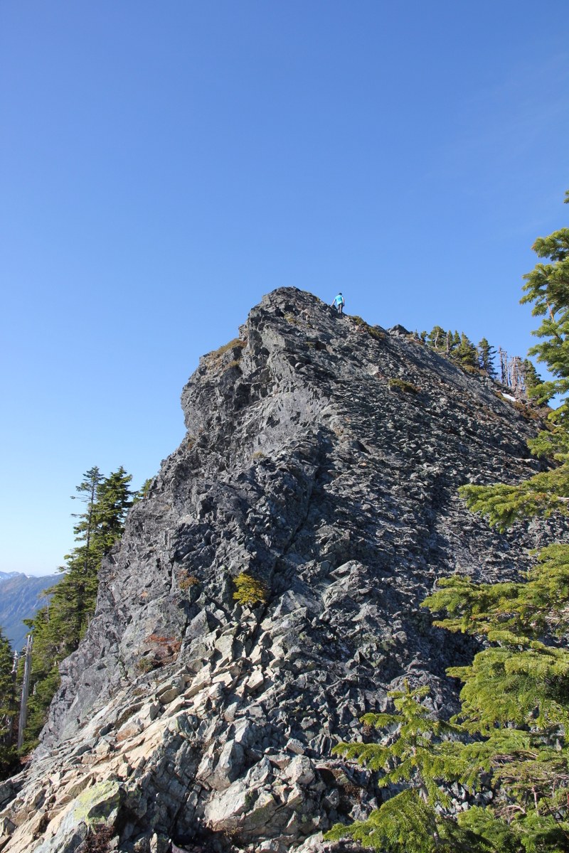
3. Route finding. It looks like the most people try to use a "shortcut" climbing straight up at mile 4.5. Climbing deep melting snow is extremly difficult and tiresome, and you have to loose 100 feet from the ridge to rejoin the trail on the ridge's opposite side. At the same time, trail itself is also quite steep and covered with firm slippery snow. We took first option on our way up, and the second one on the way back and were unable to decide which one is better.
Comments