

Cooper River (1311)/Pete Lake (1323)/PCT (2000)/Waptus Burn (1329.3)/Waptus Pass (1329)/Waptus River (1310) Loop
Trail numbers from Green Trails maps. Waptus Burn trail also referred to as "1329 C" on trail signage.
GPS Info: 41.8 miles / 7,076 feet elevation gain
Trailhead: Surprised by the number of vehicles on a Tuesday morning; fortunately there’s lots of room.
Trail Conditions: Good - hard to imagine they could be in better condition. All trails are dusty and sandy in spots. Lots of roots and rocks. Zero snow on trails. Blowdowns are not an issue.
Water Crossings: Two fords of the Lemah Creek requiring me to change into my water shoes. First ford shortly after Pete Lake is 12-18 inches deep and the current isn’t too swift. Second ford on the PCT where the bridge is out - there are signs leading up to this crossing indicating stock should use alternate route. This crossing is about 2 feet deep and the current is fairly swift - there’s a small rope across creek to help. I was glad to have hiking poles to help with stability. All other water crossings were easy to navigate without getting feet wet.
Bugs: Annoying at worst while hiking. When the wind died at Spectacle Lake (around 19:00 and through morning), they were pretty miserable. Waptus Lake wasn’t as bad, but I was happy to have repellent. I had lunch and filtered water at Pete Lake and didn’t notice bugs of any significance - but I was in an area with a steady breeze. Bugs definitely annoying at the first ford of Lemah Creek shortly after Pete Lake - I was happy I got water at Pete Lake instead.
Wildlife: Other than horses and horse poop, I didn’t see anything larger than a squirrel.
Summary: (mileage & elevation from GPS)
Day 1: SLC TH to Spectacle Lake (15.2 miles / 2877 feet elevation gain)
I got a little goofed-up at the trailhead junction shortly after Owhi Campground - ended up following a trail to camp sites which ultimately connected back with main/correct trail. I’m guessing there’s a more direct route. If you stay between the lake and the fire road, you’ll eventually be on the correct trail.
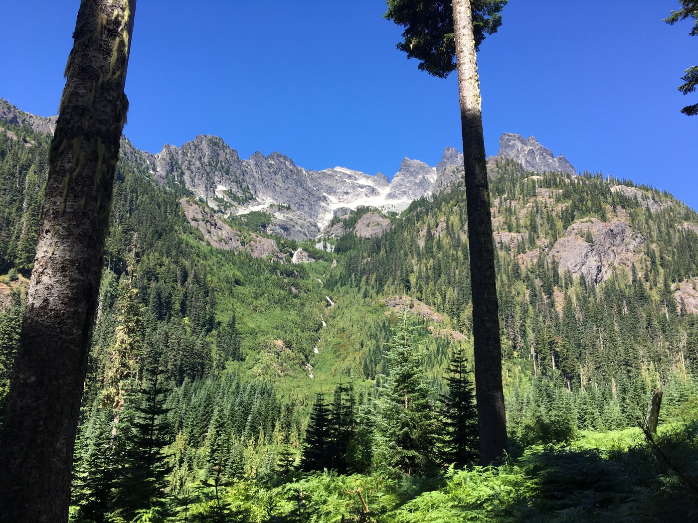
Quite a bit of sun exposure in the burn area around the junction of Pete Lake trail and PCT.
The junction to Spectacle Lake is obvious - but the trail down to the lake can be a little hard to follow. There are a number of side trails to camp sites and view overlooks - they all seem short, so a mistake will only cost you a few feet. It doesn’t require expert navigation skills - just keep heading toward the peninsula in the lake and you’ll eventually get to the primary camp sites.
Day 2: Spectacle Lake to Lake Waptus via PCT (2000), Waptus Burn (1329.3), and Waptus Pass (1329) trails (17.8 miles / 3228 feet elevation gain)
There are areas of the PCT where the foliage is tall and thick, but the trail is still easy to follow. I carried ~3 liters of water from Spectacle Lake and almost ran out before getting to the tarns shortly after 11 miles. There’s a fair amount of exposure, the weather was warm, and I sweat a lot. I don’t know if this water source is available through the summer - there’s still a fair amount of snow to melt.
Encountered a number of people on the PCT - one hiker doing the Stevens Pass to Snoqualmie Pass section (on my bucket list) and a few southbound thru-hikers (I’m envious and in awe of these folks). Also encountered a younger group with WTA hardhats heading south between Lemah Creek and Spectacle Lake.
I didn’t find any recent reports for the Waptus Burn trail - so I was concerned with the unknown. The trail is in good shape - no obstacles of significance. There are two marsh areas prior to Waptus Pass, but I was able to cross without getting feet wet. Bugs at Waptus Pass, but I kept moving so they weren’t an issue.
Waptus Pass trail down to Lake Waptus also in good shape. As I got close to Lake Waptus, I was anxious to get to camp and wasn’t paying attention to the trail and missed where the trail crosses the dry creek bed. As a result, I ended-up following the dry creek into camp - making a bit of a scene for other campers. Apparently there are cairns marking the crossing - just pay attention.
Lake Waptus is very popular - numerous other people even on a Wednesday night. Found a site in the Quick Creek Camp on southeast side of lake but not the solitude I prefer. Also, fair amount of horse poop well within 200 feet of lake. Positive spin on the popularity is that people are enjoying the outdoors. Saw a number of parents and children - such a cool way to spend time with family!
Day 3: Lake Waptus to SLC TH (8.8 miles / 971 feet elevation gain)
Super easy. There are a number of awesome camp sites along the river for people wanting a shorter hike and/or not interested in camping on the lake - all but one were empty on a Thursday morning. There’s a stream crossing that is slightly tricky - I was happy/fortunate to have hiking poles.
Overall, I was happy with this loop. It was my first extended adventure into Alpine Lakes Wilderness. In the future, I would plan a route avoiding Waptus Lake simply because I prefer more solitude. Spectacle Lake is definitely worth a re-visit. The BBQ joint in Roslyn is worth a post-trip stop (only open Thursday thru Sunday) - delicious!


Comments