

Trails: (numbers from Green Trails map) Cold Creek (1303)/PCT (2000)/Mt. Catherine (1348)
GPS Info: 7.06 miles, 1834 feet elevation gain & loss
Trailhead: Based on other reports, the trailhead is ~3.3 miles from I-90 exit. I wish I would have noted my odometer before starting up the road because there are numerous logging roads off the main road which can easily be mistaken as TH entry. The TH itself could easily be missed - it’s on left side of road right at a fairly tight right turn; there’s a pull-out on right side of road to accommodate ~4 vehicles. Small sign on tree for Cold Creek Trail.
Trail Conditions: Good - as expected, lots of roots and rocks. A few small patches of snow on the PCT likely not to last long - posed no issues other than my dog wanted to roll around in them more than hike.
Water Crossings: Only real crossing is shortly after Twin Lakes on a log bridge. Easy enough - I was more concerned about my dog since he has minimal experience with log bridges, but he was totally fine.
Bugs: From other reports Twin Lakes tends to be pretty buggy - I didn’t notice any of significance but didn’t hang-out long. No issues with bugs along the rest of the route either.
Wildlife: Didn’t see anything larger than a squirrel.
Summary: (mileage & elevation from GPS)
I chose to do the loop clockwise resulting in a steeper ascent to the PCT from Twin Lakes but more gentle descent. The loop could be reversed providing a gentler climb but resulting in a steep drop back to the lakes.
The 0.8 miles from TH to Twin Lakes is simple with a bit of up and down.
If doing the loop clockwise, the hardest work starts at the lakes. After crossing stream on log bridge, the 1350 feet gained over 1.7 miles is often steep and the foliage is thick in places. Pay attention and route finding shouldn’t be an issue.
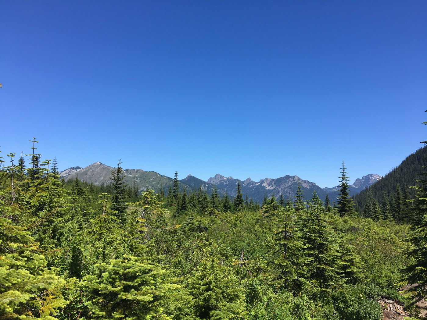
The 2.8 miles on the PCT is delightful after the climb. I encountered 3 other parties on their way up to Silver Peak - the only people I saw on the loop.
From the junction of the PCT & road, there’s a 0.3 mile walk down road to trail junction - you’ll see the trail leading up Mt. Catherine on the left just before the trail entrance on right leading back to Twin Lakes (look for an orange blaze on small tree trunk). 0.8 miles on the trail will take you to the junction with the trail leading back to TH.


Comments