
Well, I can't let Geezerhiker be the only one talking about the Camano Ridge Forest Preserve.
As part of "free time" on my annual women's retreat, we headed over to try some hiking on Camano Island. It had been raining enthusiastically all day and no one really wanted to climb without hope of a view. This hike was nearby and would offer an opportunity for good company to wander in between raindrops but not have to commit to a lengthy soaking.
The Camano Ridge Forest Preserve is a 400 acre once owned by DNR that the island has set aside to protect as aquifer recharge and wildlife habitat. It offers hikers, bikers and equestrians a variety of paths from old roads to established trails to faint boot paths. There are two access points, one off the Camano Ridge Road and one off the Can Ku Road. We opted for the Can Ku TH because one of us had hiked in this way before.
We parked at the Camano Park and animal shelter on the SR, mostly because there really isn't parking up at the TH. Because my friend wasn't entirely sure how they had gotten up to the Can Ku TH from here, we wandered a bit up past the Camano Park and a side road before crossing back behind the Island Transit, through a gate and up Can Ku Road.
You can just keep to the right of the shelter and walk up Can Ku Road and past the transit area. It's a nice little hill and warm up to the hike!
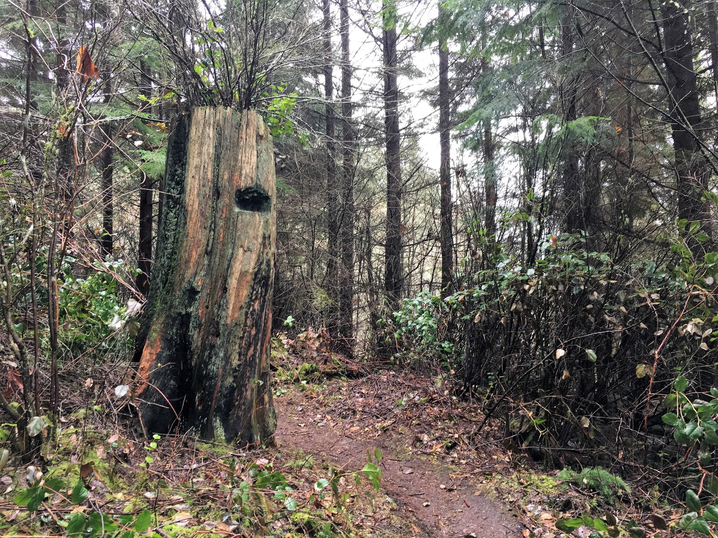
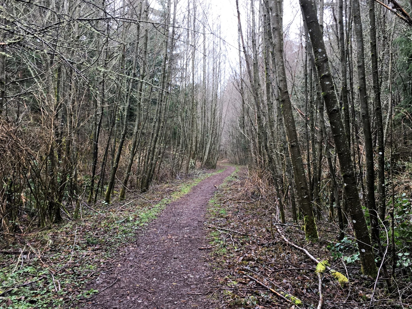
The trail head is marked by a small yellow arrow on the right hand side of the road.Consulting our booklet, it looked like we could make a big loop counterclockwise so we headed in and tried to keep to the right. There was a main trail to follow and some more yellow markers along the way. There were various boot paths, bike trails and fences blocking off vegetation rehabilitation.
After about an hour of meandering, we ran into a gate and the end of an old road close to North Camano Ridge Road.At this point the group decided it was time to start making our way back to the car, so we turned around followed the same track back out. Our "loop" turned out to be more of a crossing of the ridge.
On the way back down the road, we stopped at the Kristoferson Creek Beaver Marsh right cross from the Island Transit, something you might miss if you just drive up the road.I'd love to return with a booklet of my own and see if I can spend more time exploring and making the rounds on the loops and boot paths. It looks like someone could have a lot of fun getting "lost" in the solitude here.
MOre pics and GAIA in the link below.


Comments