To start the day I had a leisurely breakfast in my kitchen and then proceeded to the Carbon River ranger station to pick up my permits, where I arrives at 1000hrs. I planned on staying at Eagles Roost and Ipsut but ended up not pulling a permit for Eagles Roost and staying at Mowich (more on that later). I then drove the last 2.5 miles from the ranger station to the end of the road, parked and got started at 1030.
I chose to walk in from the Carbon River Road, to prevent a time consuming backtrack. This added 10 miles to my round trip but what's 5 miles of road walking, anyway? I'm a pretty fast walker so this added 3 hours to my round trip. I reached the Ipsut CG around 1200 and had a brief lunch. I knew that the hike up Ipsut Creek would be challenging, at least the last 1100' of gain would. The beginning of this leg started climbing right away. not steep but not gentle either, just enough for you to know that you're climbing. Well, only 2700' to go!
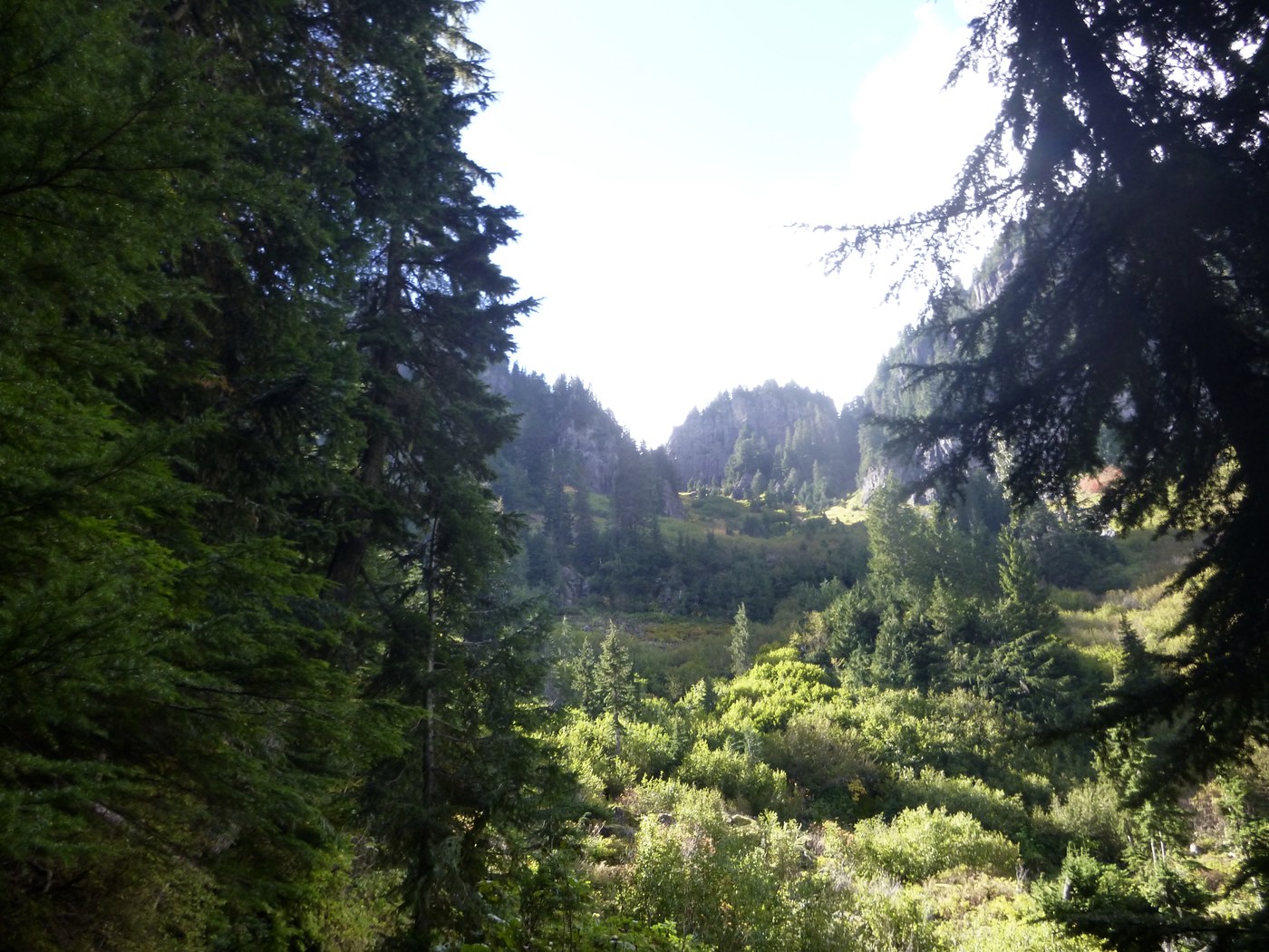
The hike along Ipsut Creek was beautiful and I'll be sure to do it again. It's deep under the forest canopy and there were many great mushrooms, boletes, various Amanitas and a whole mess of them that I'd no idea about but I was sure to take some pictures. Alas, I didn't bring anything I would need to cook the ones that would be great, like great big King Boletes and Lions Mane/Bear's Tooth, but it was awesome to see such great specimens. The hike, like I mentioned above, isn't steep but'll keep you on your toes...until 4000'. At this point the trail tilts upward like the Titanic just before she sank. I'm not a trekking pole person but I used them anyway and my knees were glad. The switchbacks were viciously steep, narrow (don't fall) and covered in broken shingle and they just kept going. In spite of that, however, the view was amazing. I topped out on Ipsut pass, at 5100' around 1445 and plopped down on the ground to catch my breath as it seemed to have run away from me. From here, after I could breathe, I descended to Mowich Lake.
As I descended I reached a point where my map and altimeter were insisting that I should be able to see the lake off to my left. It was a little foggy but eventually I saw it. Glass smooth as far as the eye could see, which was about 50'. I was clouded in. I reached the campground and visibility was about 100' over the ground but far less over the water. I set up camp and proceeded to grouse about being IN the cloud cover and hoped that the weather reports for the next day were accurate. As the day rolled on to early evening the clouds suddenly broke open and I could see everything. This lasted for about 15 minutes and I captured what photos I could.
I had originally planned to stay at Eagle Roost, about 1.5 miles further on the trail and, if and when I do this again, I will. Mowich Lake is a nice campground but a lousy and mood breaking place to camp if your trying to get your backcountry on. The bear lockers are great but listening to people open them at 2200 was obnoxious, especially when they would just slam them shut. People driving up the road and wandering into the CG and my personal favorite, someone shining a flashlight directly into my tent at 2100 when I'm trying to sleep. It just made me grumpy. My solution was to be back on the trail around dawn.
Dawn comes late, fortunately. I had my camp broken down, packed and I was on my way by 0730.
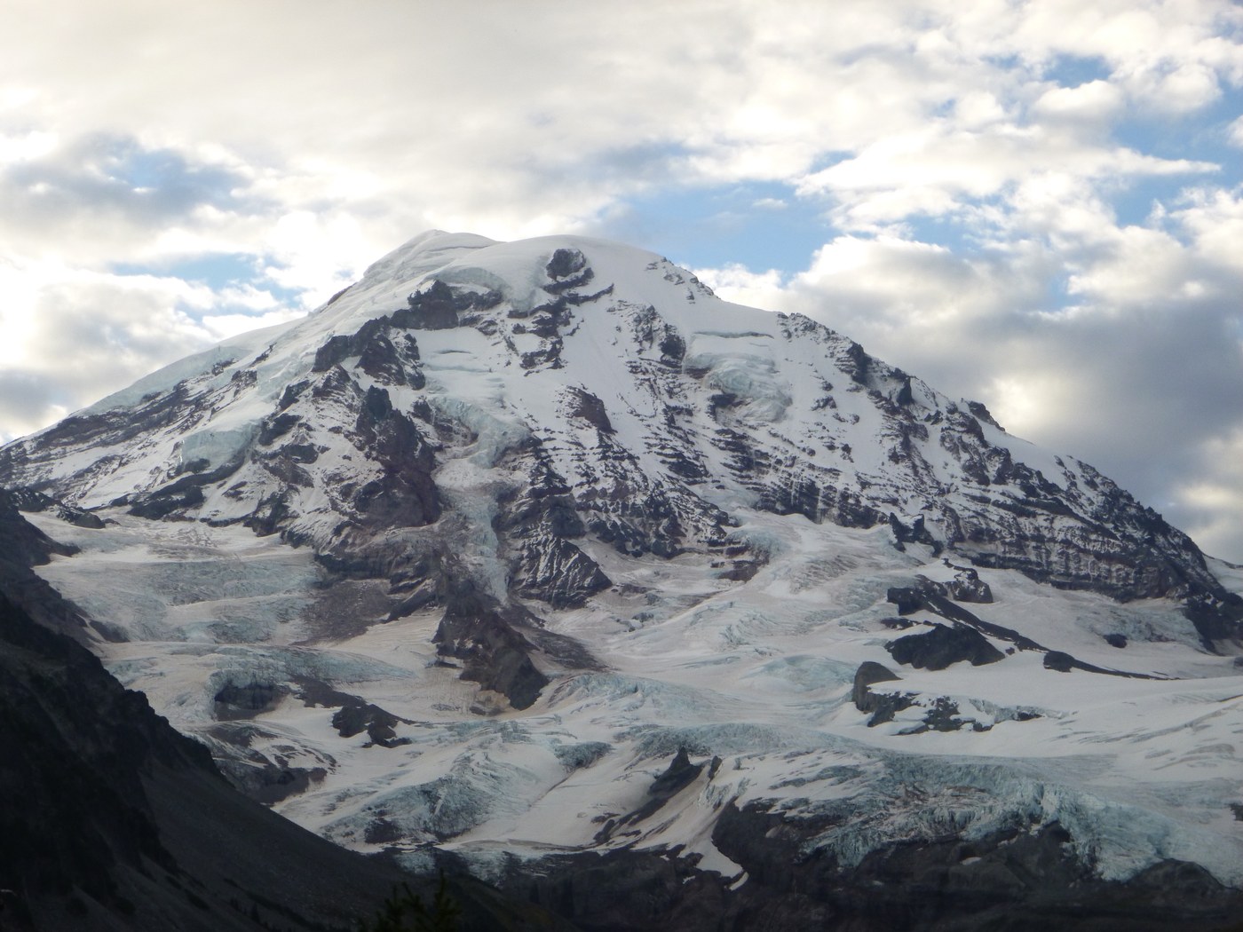
As I started down the trail to Eagle Roost the last bits of fog were drifting away and the sky was a clear blue. I reached the camp site and grumbled about my stupid decision. Moving on...just BEFORE reaching the campsite I reached the Eagle Cliff overlook which had the best view I've ever had of Mt. Rainier. I took a few pics and split, I had 17 miles to go and mustn't dilly dally, especially since I'd just gotten started. I got to the cutoff to go and see the waterfall but elected to continue on. I don't know how carefully you've studied the map, but more switchbacks. Not as steep as Ipsut Pass but quite steep. This climb paid off when I got out of the trees and the entire W. side of the mountain was open to me! What I said about Eagle Cliff, scratch that! This is Spray Park.
The hike through Spray Park was breathtaking and I can only imagine what it would be like during wild flower season but, as it was, the foliage was on fire! Reds, yellows and green were vivid and saturated the atmosphere around you. The trail is still climbing for a few miles but at a much more measured rate until you are out of the foliage and into the shingle and talus. At this point it a bit further until you top out at 6400', the high point of this loop, and you begin the long march down.
The hike down is long and descends quickly, but not suicidally. This side was definitely muddier but, as you can imagine, was equally beautiful but I couldn't look as often or I might fall. One other thing to note; the trail is wiped out from Carbon Camp to Ipsut CG along the W. side of the Carbon River. This will require you to cross the river twice and, if it's early in the year or if there is big water it's possible that this loop won't be passable at all due to the fact that the lower crossing is comprised entirely of logs across various parts of this braided river. Use caution and, perhaps, call the rangers and ask. I did run across two gentlemen who attempted to bushwhack around the landslide and they said it was unquestionably a no-go. They wasted about 1.5 hours trying to get around it.
I can say that if the loop were done in a counter clockwise fashion that the climbing would be much easier but some of the descents, especially Ipsut Pass to the creek would be...sporting.
This would be a long day hike for many (probably 8-10 hours), from Mowich (as guides tend to write it) and it involves a lot of elevation gain quickly. If you're planning on doing it in one day please bring the 10 Essentials, especially the headlamp and batteries. If you're not sure that you can manage this distance on more moderate trails then don't attempt it, those switchbacks will require a lot from you! The detour imposed by the rail washout will add approximately 1 additional mile. I know it doesn't sound like a lot but, at the end of the day, it's a lot if you didn't plan on it.


Comments