Trip Report
Estes Butte, Carne Mountain, Rock Creek & Old Gib — Sunday, Jul. 3, 2016
 Central Cascades > Stevens Pass - East

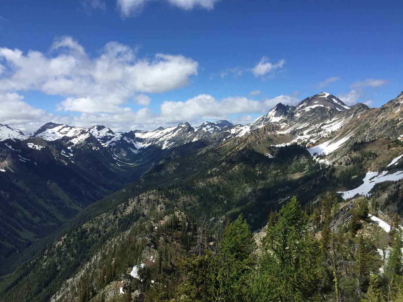
This is a beautiful, but challenging 3-day loop for strong hikers with good route-finding skills. The beauty: not seeing a soul the entire loop, nice meadows on the Rock Creek trail, and magnificent views from Carne Mountain and the ridges. The challenging: route finding in upper Rock Creek valley, tougher route-finding around Old Gib, and a long day of substantial up-and-down along the unmaintained Estes Ridge trail.
Starting at the Rock Creek trailhead, the trail was great until the Wilderness boundary, then there were many blowdowns, but all passable without too much work. We forded Rock Creek in beefy sandals in a fairly strong current, but not bad for strong hikers. It was high enough for our shorts to get soaked. We camped at a lovely camp after the second ford at 7 miles from the trailhead. (Bring your bug juice.)
Day 2, we headed up the Rock Creek valley over occasional blowdowns but moved fast until the upper valley where the trail is sketchy after the final crossing of Rock Creek after crossing a few rushing feeder streams. Headed straight up the meadows where minimal cairns were helpful. There was a fair amount of snow on the Rock Creek trail side of the pass. We got out our ice axes to take the most direct route and feel more secure. No need for ice axes for the summit of Carne. The road was still closed to the Phelps Creek/Carne Mountain trails so we were alone on Carne and soaked in the beautiful views in the solitude. We were the first in the register in 2016.
We were thinking we would camp in the hanging basin below Carne, but we wanted to peek at the unmaintained Estes Ridge route while we were up on the ridge. Upon doing so we spotted the trail and thought we would give it go, to shorten the next day's miles and hopefully find a decent camp on the ridge. In a about a mile we luckily found a beautiful spot near large snow patches at 6500 ft., on the ridge that eventually leads to the base of old Old Gib. Snow patches may be gone in two weeks or so.
Day 3, having melted enough snow to fill 5 quarts for the 2 of us, we headed out by 8am in drizzle toward Old Gib and Estes Butte. The trail was fine until the talus slopes below the NW cliffs of Old Gib. The trail is very sketchy. One needs to stay in the small grassy areas (saw very fresh bear scat and tracks here) below the talus and look for a cairn. The trail is still sketchy for another 1/4 mile but glimpses of the old footpath are visible. There also appear to be old trail blazings on the older trees. We kept losing the trail, but the key was definitively finding it one last time before entering the woods again for a long time. The footpath was pretty good from there around Old Gib, and once we were on the ridge again we knew for certain it would be easier to stay on route. There is no water from the NW talus slopes below Gib until about a mile from the Estes Butte trailhead, roughly 10 miles. (One small trickle will be gone soon). There are magnificent views the entire way, but there are some difficult ups and downs. It's by no means just an easy ridge stroll, especially for that length.
Lunch on Estes Butte at 1pm. From there for over 2 miles, the trail is demanding, both up and down, to the next landmark, which is the nob with the old lookout site. The trail down was perfect from the old lookout site. We moved quickly down the switchbacks and were back at the car by 4:15pm. A 12-13 mile day from where we camped.


Comments