Trip Report
Larrabee State Park - Chuckanut Ridge Trail, Larrabee State Park - Rock Trail & Larrabee State Park - North Lost Lake Trail — Friday, May. 6, 2016
 Puget Sound and Islands > Bellingham Area

The road isn't in the best condition, deep potholes and ridges all over. I only saw high clearance vehicles on it although I think if you went slow and carefully you could make it up in a 2wd.
I hiked/ran this loop from the Cleator Overlook- up the Chuckanut Ridge via an unmarked trail soon after the TH, uphill and left where the first sign for the Rock Trail indicates to go right. The ridge trail is no fun to run except in a few short sectinos, it's pretty gnarly with lots of roots and rocks to climb around. It's quite impressive that mountain bikers can ride it! Lots of ups and downs here. Then steeply down and right along what looks like an old road to the Lost Lake trail, which also looks like an old road. I had planned to go to Raptor Ridge but Chuckanut Ridge had taken me far longer than anticipated and I was worried about running short on time to catch my ferry and a little concerned about another section of roots and rocks to contend with. I regretfully passed that junction. Too bad as I would have had time! I'll have to go back.
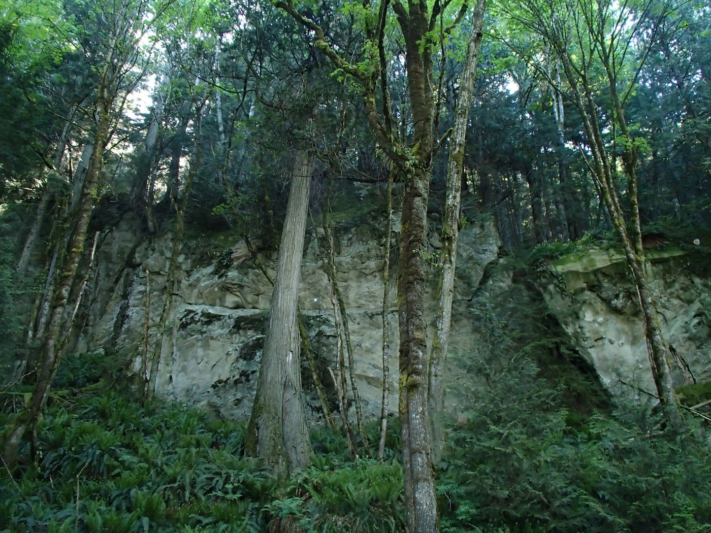
I followed the gently graded old road through some muddy sections, contouring west and above Lost Lake and then took the Rock Trail back to the TH. The Rock trail, as you might guess, has a lot of large erratics and heuco looking cliffs. I really enjoyed it. It ends with a series of stairs uphill towards the TH.
Route as described about 1500 gain/7.5 miles (Averaged from 3 GPS tracks)


Comments